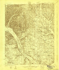
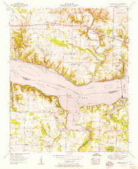
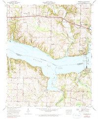
1924 Map of Gravelly Springs
USGS Topo · Published 1924About this map
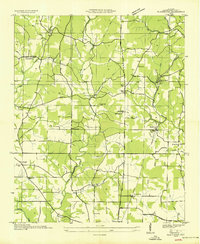
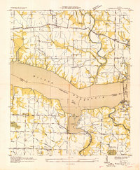
The Tennessee River serves as the dominant artery of this Lauderdale County landscape, marked by the presence of the Colbert Shoals Canal and essential river access points like Georgetown Landing and Newport Landing. The interior reveals a dense network of early 20th-century rural infrastructure, where small settlements like Gravelly Springs and Oakland are anchored by an extensive system of neighborhood institutions. The map records several distinctive educational sites, including the Oakland School (Colored) and Lyle Academy, reflecting the segregated educational landscape of the era.
Find a feature on this map
76 named features on this map. Tap any name to fly to it.
Don’t see what you’re looking for? This feature index may not catch every label — zoom into the map to look around manually.
Map Details
Editions of this 1924 Gravelly Springs Map
2 editions found
Historical Maps of Cherokee Through Time
52 maps found
1924 Gravelly Springs
Lauderdale County, AL
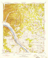
1926 Gravelly Springs
Lauderdale County, AL
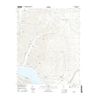
1935 Wright
Lauderdale County, AL
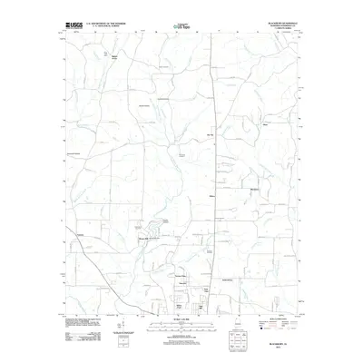
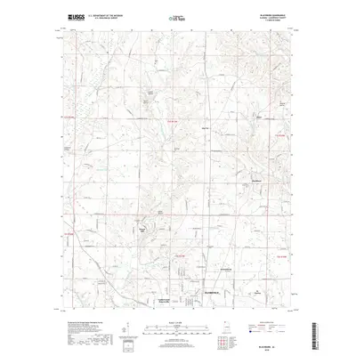
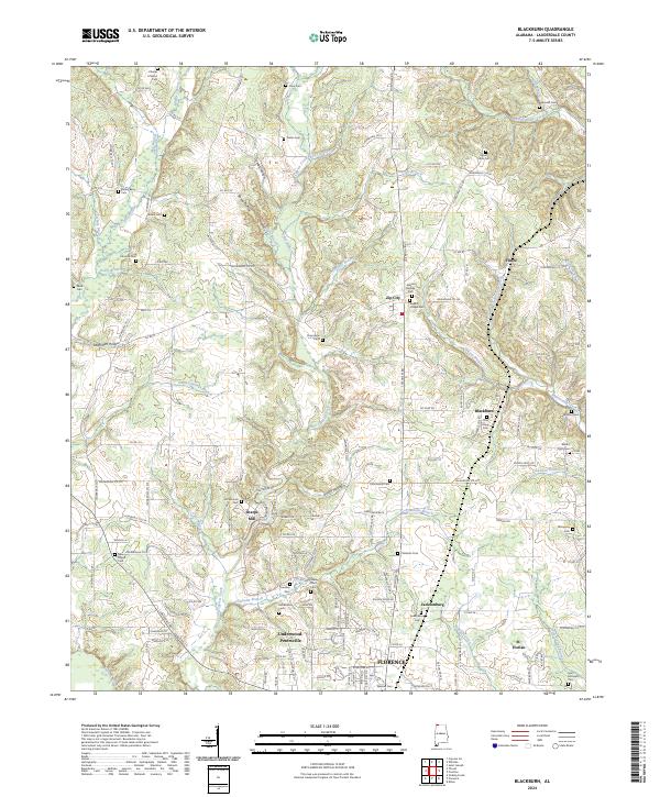
1936 Blackburn
Lauderdale County, AL
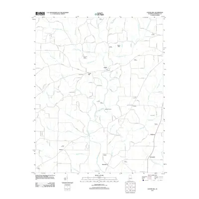
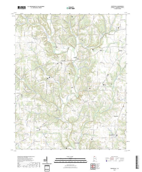
1936 Center Hill
Lauderdale County, AL
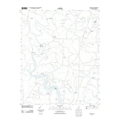
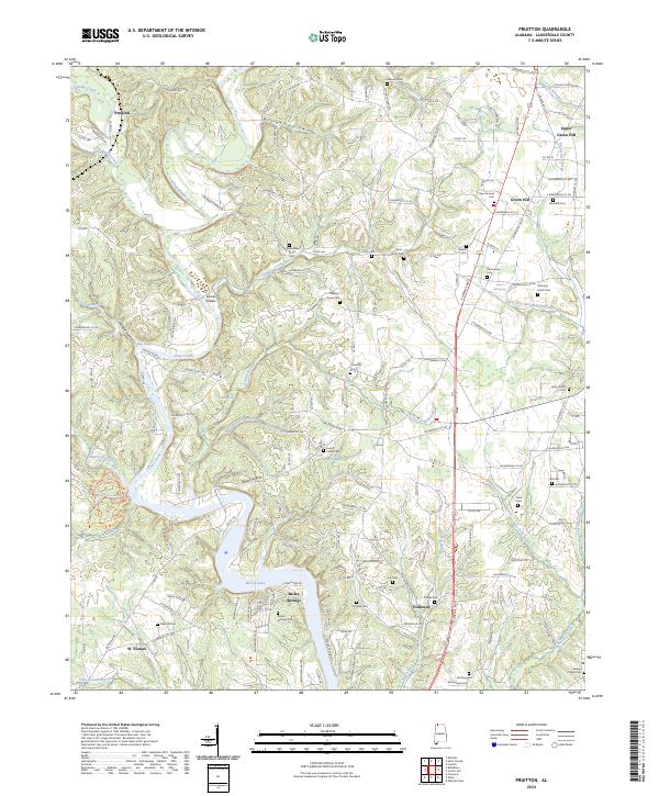
1936 Pruitton
Lauderdale County, AL

1936 Thorntontown
Lauderdale County, AL
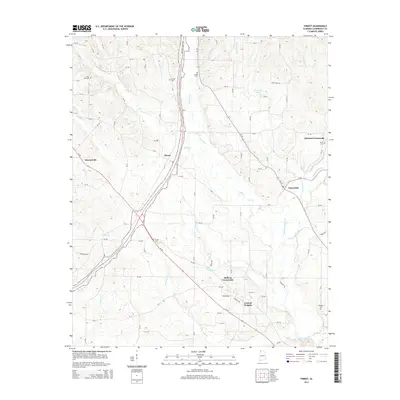
1936 Threet
Lauderdale County, AL
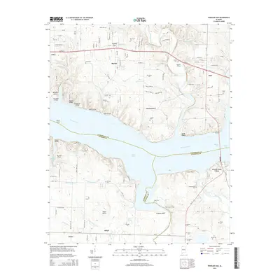
1936 Wheeler Dam
Lauderdale County, AL
1952 Blackburn
Lauderdale County, AL
1952 Center Hill
Lauderdale County, AL
1952 Pruitton
Lauderdale County, AL
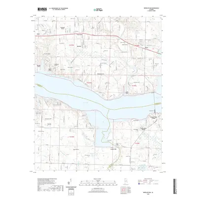
1952 Wheeler Dam
Lauderdale County, AL
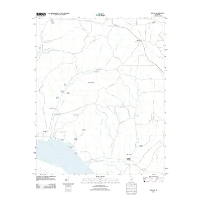
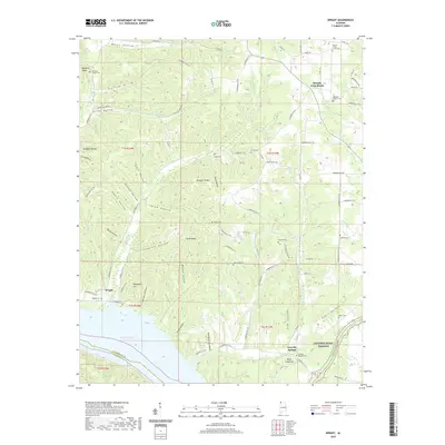
1953 Wright
Lauderdale County, AL
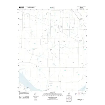
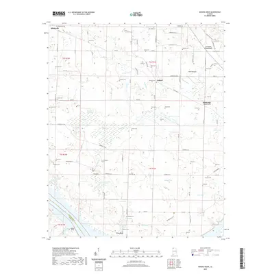
1954 Sinking Creek
Lauderdale County, AL
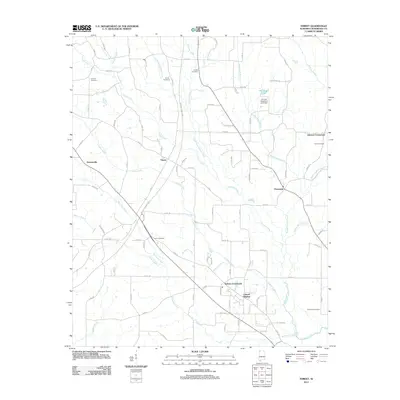
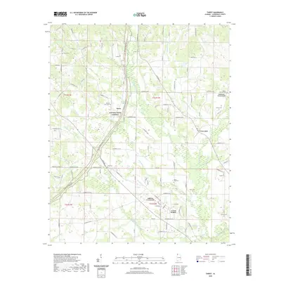
1954 Threet
Lauderdale County, AL
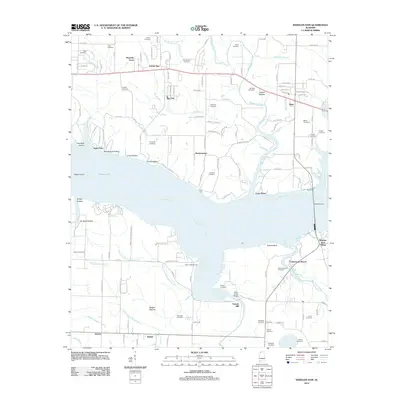
1971 Wheeler Dam
Lauderdale County, AL
2011 Blackburn
Lauderdale County, AL
2011 Center Hill
Lauderdale County, AL
2011 Pruitton
Lauderdale County, AL
2011 Sinking Creek
Lauderdale County, AL
2011 Threet
Lauderdale County, AL
2011 Wright
Lauderdale County, AL
2012 Wheeler Dam
Lauderdale County, AL
2014 Blackburn
Lauderdale County, AL
2014 Center Hill
Lauderdale County, AL
2014 Pruitton
Lauderdale County, AL
2014 Sinking Creek
Lauderdale County, AL
2014 Threet
Lauderdale County, AL
2014 Wheeler Dam
Lauderdale County, AL
2014 Wright
Lauderdale County, AL
2018 Blackburn
Lauderdale County, AL
2018 Center Hill
Lauderdale County, AL
2018 Pruitton
Lauderdale County, AL
2018 Sinking Creek
Lauderdale County, AL
2018 Threet
Lauderdale County, AL
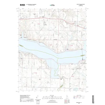
2018 Wheeler Dam
Lauderdale County, AL
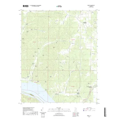
2018 Wright
Lauderdale County, AL
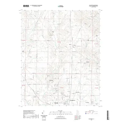
2020 Blackburn
Lauderdale County, AL
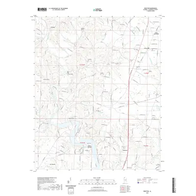
2020 Pruitton
Lauderdale County, AL
2020 Sinking Creek
Lauderdale County, AL
2020 Threet
Lauderdale County, AL
2020 Wheeler Dam
Lauderdale County, AL
2020 Wright
Lauderdale County, AL
2021 Center Hill
Lauderdale County, AL
2024 Blackburn
Lauderdale County, AL
2024 Center Hill
Lauderdale County, AL
2024 Pruitton
Lauderdale County, AL
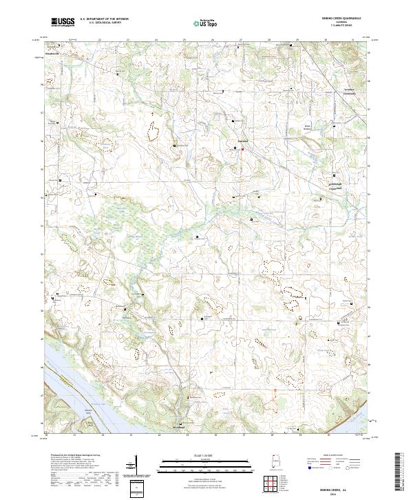
2024 Sinking Creek
Lauderdale County, AL
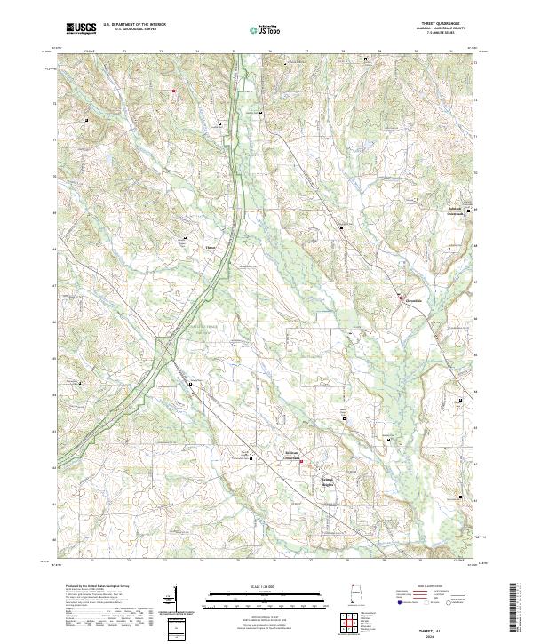
2024 Threet
Lauderdale County, AL
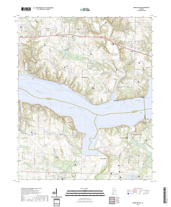
2024 Wheeler Dam
Lauderdale County, AL
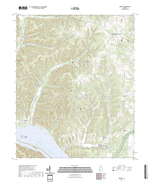
2024 Wright
Lauderdale County, AL