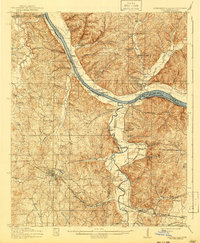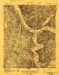
1911 Map of Iuka
USGS Topo · Published 1911About this map
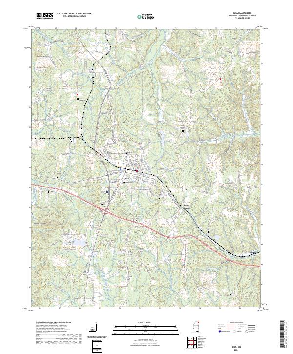
The Tennessee River serves as the dominant geographical and economic artery in this early 20th-century survey, defining the borders where Mississippi, Alabama, and Tennessee meet. This landscape is characterized by a series of significant river access points, including Eastport Landing, Shellbank Landing, and Waterloo Landing, which reveal the reliance on waterborne commerce before the era of major dams. Inland, the town of Iuka sits along the Southern railway line, acting as a regional hub for smaller rural communities and homesteads connected by a network of creeks like Bear Creek and Yellow Creek. The survey identifies local social foundations such as Salem Church, Mt Pleasant Church, and the Jackson Ridge School, alongside industrial markers like a Gravel Pit. The inclusion of various family-named crossings, such as Stemens Ford and Fishtrap Ford, provides essential data for researchers tracing ancestral movement through the Tishomingo and Lauderdale county areas.
Find a feature on this map
34 named features on this map. Tap any name to fly to it.
Don’t see what you’re looking for? This feature index may not catch every label — zoom into the map to look around manually.
Map Details
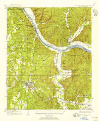
Editions of this 1911 Iuka Map
2 editions found
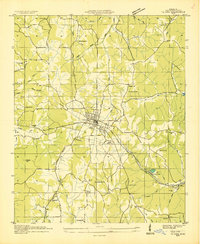
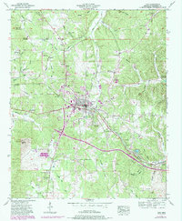
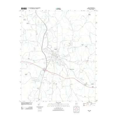
Historical Maps of Iuka Through Time
9 maps found