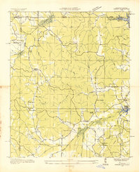
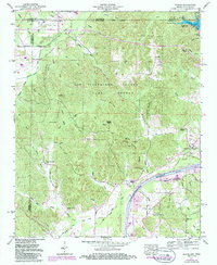
1935 Map of Doskie
USGS Topo · Published 1935About this map
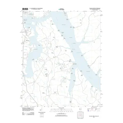
Yellow Creek and its many tributaries, such as Sevenmile Creek and Robinson Creek, define this 1935 landscape during a period of massive transformation. At the northeastern corner, the Proposed Pickwick Landing Reservoir (Elev 413) outline indicates the coming inundation of the Tennessee River valley. This advance sheet, compiled from aerial photographs by the Tennessee Valley Authority and the USGS, documents a dense network of rural infrastructure just before the landscape was altered by hydroelectric development.
Find a feature on this map
82 named features on this map. Tap any name to fly to it.
Don’t see what you’re looking for? This feature index may not catch every label — zoom into the map to look around manually.
Map Details
Editions of this 1935 Doskie Map
This is the sole edition of this map. No revisions or reprints were ever made.
Historical Maps of Pine Flat Through Time
25 maps found
1935 Doskie
Tishomingo County, MS
1935 Holcut
Tishomingo County, MS
1935 Leedy
Tishomingo County, MS
1936 Shaws
Tishomingo County, MS
1950 Doskie
Tishomingo County, MS
1953 Yellow Creek
Tishomingo County, MS
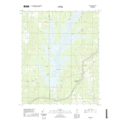
1965 Paden SE
Tishomingo County, MS
1992 Paden SE
Tishomingo County, MS
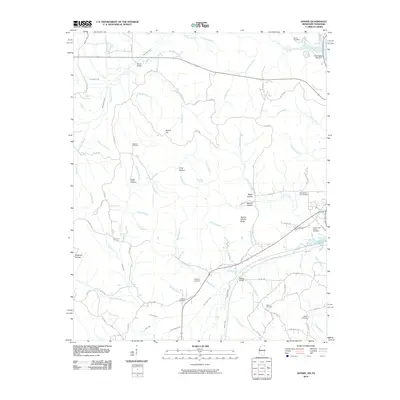
2010 Doskie
Tishomingo County, MS
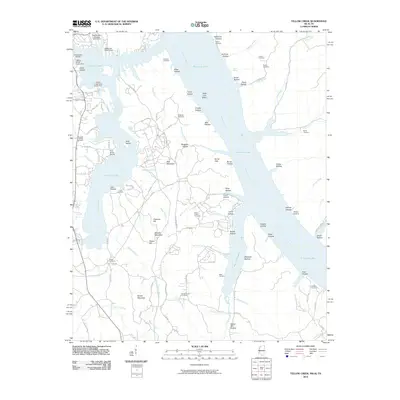
2010 Yellow Creek
Tishomingo County, MS
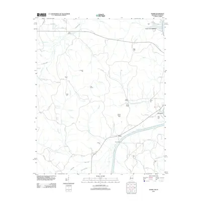
2012 Doskie
Tishomingo County, MS
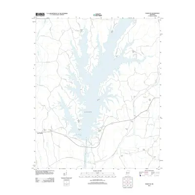
2012 Paden SE
Tishomingo County, MS
2012 Yellow Creek
Tishomingo County, MS
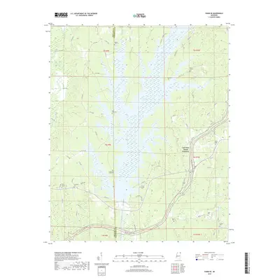
2015 Doskie
Tishomingo County, MS
2015 Paden SE
Tishomingo County, MS
2015 Yellow Creek
Tishomingo County, MS
2018 Doskie
Tishomingo County, MS
2018 Paden SE
Tishomingo County, MS
2018 Yellow Creek
Tishomingo County, MS
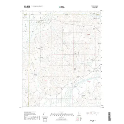
2020 Doskie
Tishomingo County, MS

2020 Yellow Creek
Tishomingo County, MS
2021 Paden SE
Tishomingo County, MS
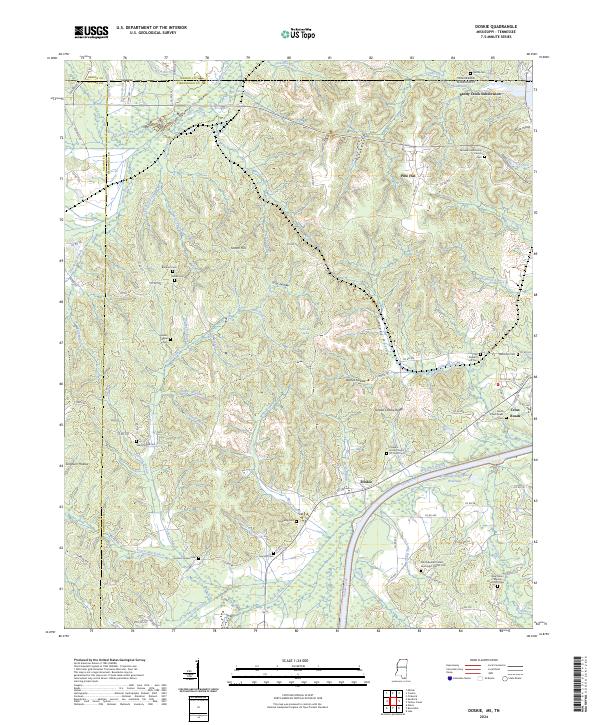
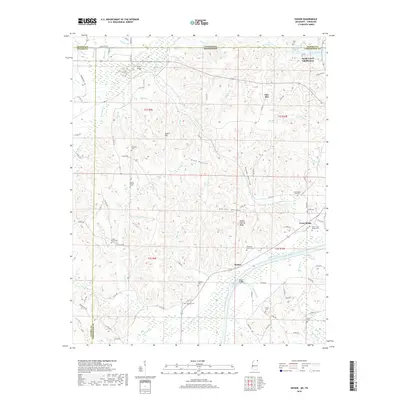
2024 Doskie
Tishomingo County, MS
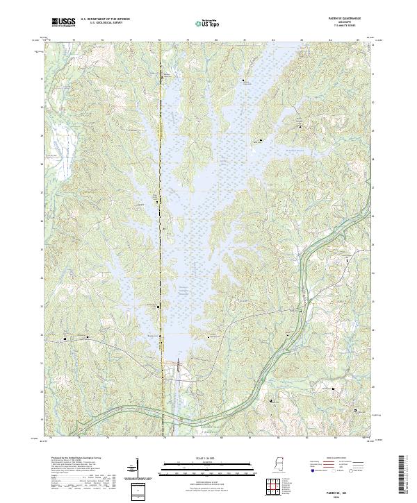
2024 Paden SE
Tishomingo County, MS
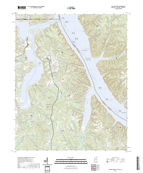
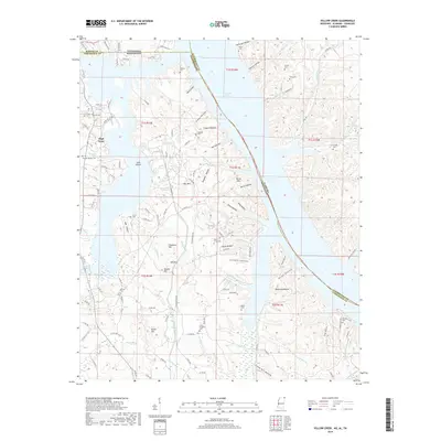
2024 Yellow Creek
Tishomingo County, MS