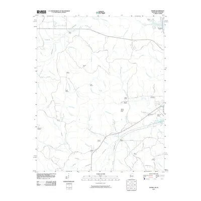
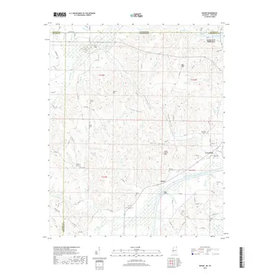
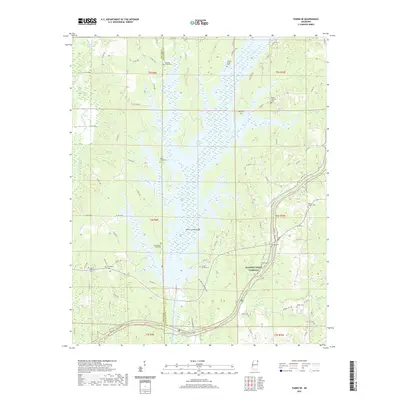
1935 Map of Leedy
USGS Topo · Published 1935About this map
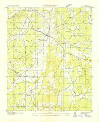
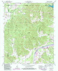
Burnsville serves as the central hub of this 1935 survey, situated at a major crossing point where the Southern Ry meets the Lee Highway U S No 72. The landscape is a network of rural schoolhouses and family churches, such as Gravel Hill Sch and Antioch Ch, reflecting the deep-rooted community structure of northeast Mississippi before mid-century modernization. The infrastructure of the Tennessee Valley Authority is notably present, with transmission lines cutting across the terrain toward the Yellow Creek drainage system.
Find a feature on this map
53 named features on this map. Tap any name to fly to it.
Don’t see what you’re looking for? This feature index may not catch every label — zoom into the map to look around manually.
Map Details
Editions of this 1935 Leedy Map
This is the sole edition of this map. No revisions or reprints were ever made.
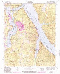
Historical Maps of Burnsville Through Time
25 maps found
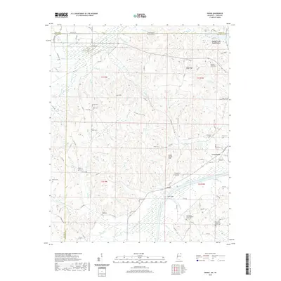
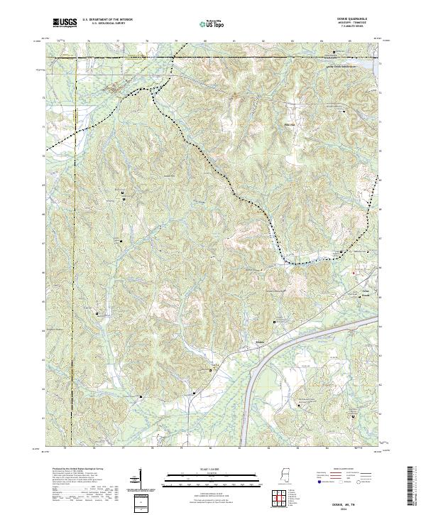
1935 Doskie
Tishomingo County, MS
1935 Holcut
Tishomingo County, MS
1935 Leedy
Tishomingo County, MS
1936 Shaws
Tishomingo County, MS
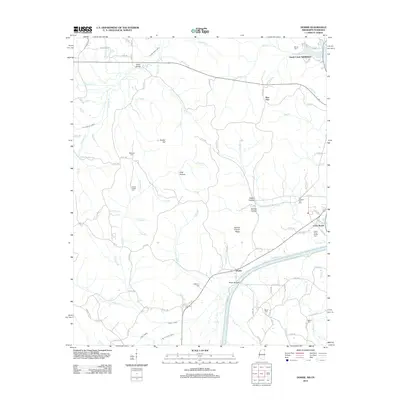
1950 Doskie
Tishomingo County, MS
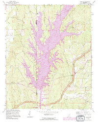
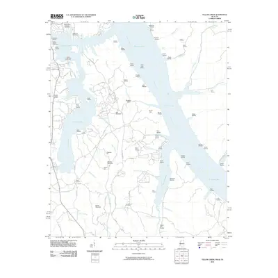
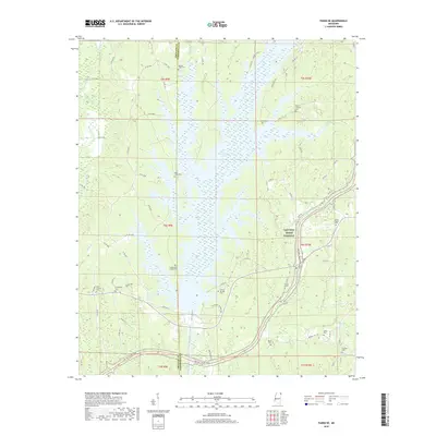
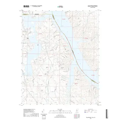
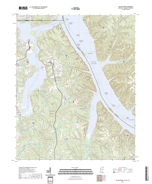
1953 Yellow Creek
Tishomingo County, MS
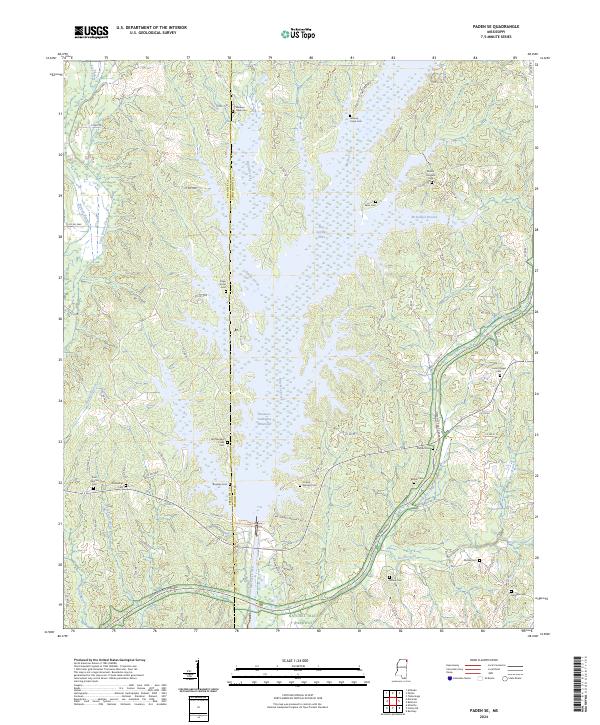
1965 Paden SE
Tishomingo County, MS
1992 Paden SE
Tishomingo County, MS
2010 Doskie
Tishomingo County, MS
2010 Yellow Creek
Tishomingo County, MS
2012 Doskie
Tishomingo County, MS
2012 Paden SE
Tishomingo County, MS
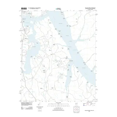
2012 Yellow Creek
Tishomingo County, MS
2015 Doskie
Tishomingo County, MS
2015 Paden SE
Tishomingo County, MS
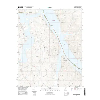
2015 Yellow Creek
Tishomingo County, MS
2018 Doskie
Tishomingo County, MS
2018 Paden SE
Tishomingo County, MS
2018 Yellow Creek
Tishomingo County, MS
2020 Doskie
Tishomingo County, MS

2020 Yellow Creek
Tishomingo County, MS
2021 Paden SE
Tishomingo County, MS
2024 Doskie
Tishomingo County, MS
2024 Paden SE
Tishomingo County, MS
2024 Yellow Creek
Tishomingo County, MS