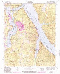
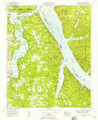
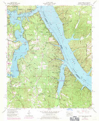
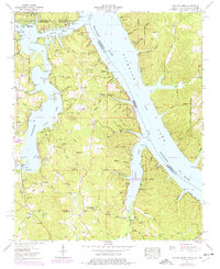
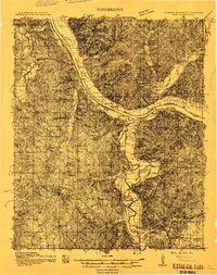
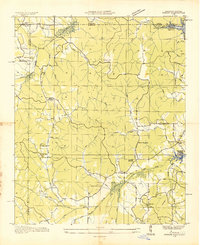
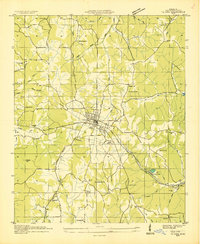
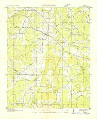
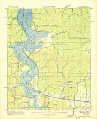
1953 Map of Yellow Creek
USGS Topo · Published 1987About this map
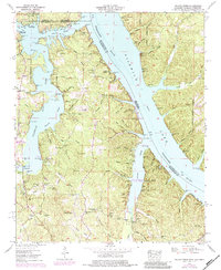
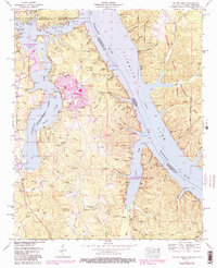
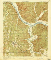
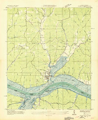
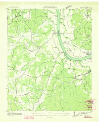
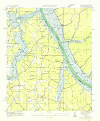
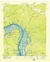
The Tennessee-Tombigbee Waterway serves as a major focal point on this mid-century survey, cutting through the intersection of Mississippi, Alabama, and Tennessee. This tri-state boundary region is dominated by the sprawling waters of Pickwick Lake and the Tennessee River, which define the local topography and commerce. In the center of the sheet, the expansive Former Plant Site stands as a significant industrial footprint near Bee Mountain, while the establishment of J P Coleman State Park along the shoreline highlights the area's transition toward recreation and conservation.
Find a feature on this map
41 named features on this map. Tap any name to fly to it.
Don’t see what you’re looking for? This feature index may not catch every label — zoom into the map to look around manually.
Map Details
Editions of this 1953 Yellow Creek Map
6 editions found
Other maps of this area
1911 · Iuka
USGS Topo · 1:48,000
1914 · Iuka
USGS Topo · 1:62,500
1935 · Doskie
USGS Topo · 1:24,000
1935 · Iuka
USGS Topo · 1:24,000
1935 · Leedy
USGS Topo · 1:24,000
1936 · Margerum
USGS Topo · 1:24,000
1936 · Waterloo
USGS Topo · 1:24,000
1936 · Counce
USGS Topo · 1:24,000
1936 · Shaws
USGS Topo · 1:24,000
1936 · Pickwick
USGS Topo · 1:24,000