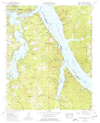
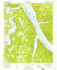
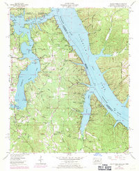
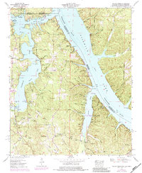
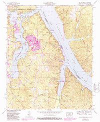
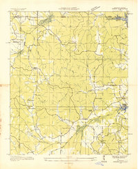
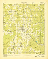
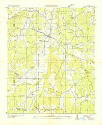
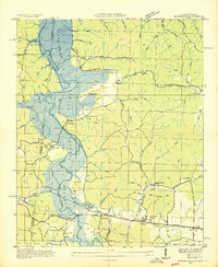
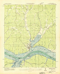
1953 Map of Yellow Creek
USGS Topo · Published 1977About this map
Pickwick Lake dominates this landscape where the borders of Mississippi, Alabama, and Tennessee converge. In the early 1950s, the area reflects the impact of the Tennessee Valley Authority’s projects, with the rising waters of the Tennessee River creating a complex network of flooded valleys and peninsulas. The shoreline is punctuated by early recreational and transit points such as Resort Associates Dock and Cooks Landing, while the rugged interior hills remain dotted with small community focal points like Salem Ch and Camp Ground Church.
Find a feature on this map
78 named features on this map. Tap any name to fly to it.
Don’t see what you’re looking for? This feature index may not catch every label — zoom into the map to look around manually.
Map Details
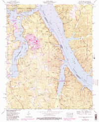
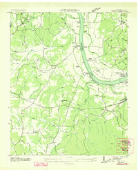
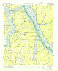
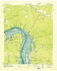
Editions of this 1953 Yellow Creek Map
6 editions found
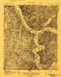
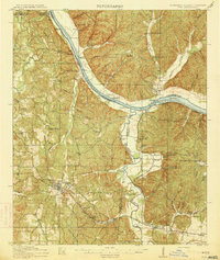
Other maps of this area
1911 · Iuka
USGS Topo · 1:48,000
1914 · Iuka
USGS Topo · 1:62,500
1935 · Doskie
USGS Topo · 1:24,000
1935 · Iuka
USGS Topo · 1:24,000
1935 · Leedy
USGS Topo · 1:24,000
1936 · Margerum
USGS Topo · 1:24,000
1936 · Waterloo
USGS Topo · 1:24,000
1936 · Counce
USGS Topo · 1:24,000
1936 · Shaws
USGS Topo · 1:24,000
1936 · Pickwick
USGS Topo · 1:24,000