Loading...
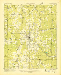
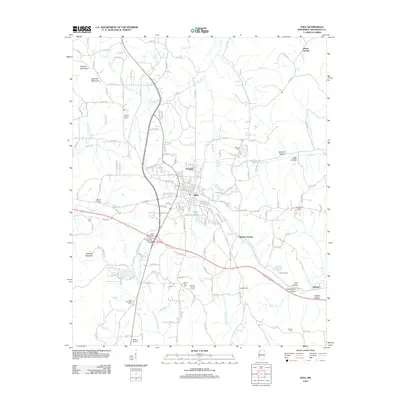
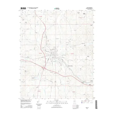
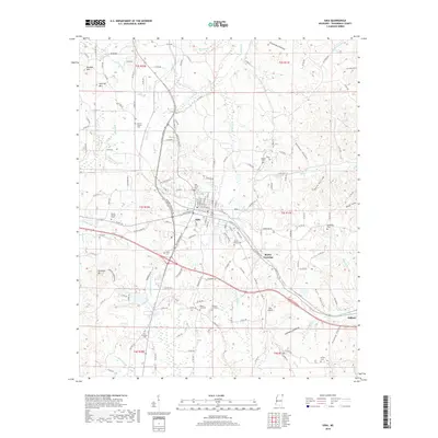
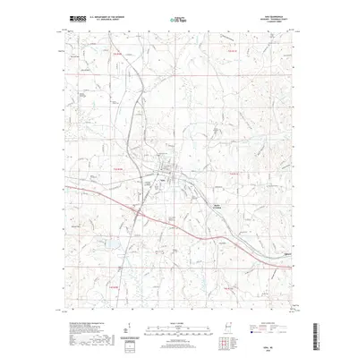
Loading map...1935 Map of Iuka
USGS Topo · Published 1935About this map
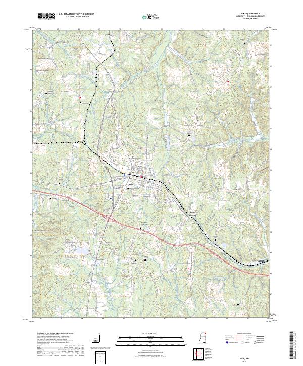
Iuka serves as the central hub of this 1935 survey by the Tennessee Valley Authority, which illustrates the intersection of early regional infrastructure and long-standing rural communities. The map highlights the high point of Woodall Mtn and a dense network of country schools and churches, such as Snowdown Sch, Bennett Sch, and Rocky Spring Ch, that anchored local life before the modern era.
Find a feature on this map
62 named features on this map. Tap any name to fly to it.
Don’t see what you’re looking for? This feature index may not catch every label — zoom into the map to look around manually.
Map Details
Date Portrayed1935
Date Published1935
PublisherU.S. Geological Survey
Map TypeTopographic
Scale1:24,000
Physical Dimensions22 x 26.8 inches
Editions of this 1935 Iuka Map
This is the sole edition of this map. No revisions or reprints were ever made.
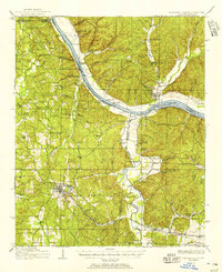
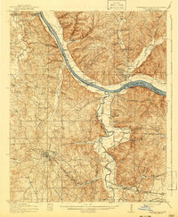
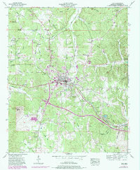
Historical Maps of Iuka Through Time
9 maps found
Featured Locations
Source Details
SourceU.S. Geological Survey
CopyrightPublic Domain