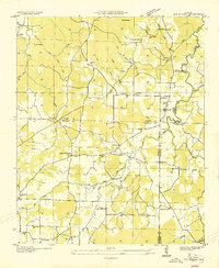
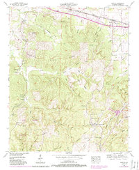
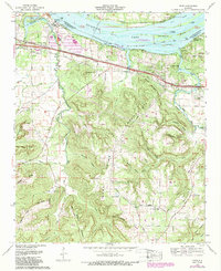
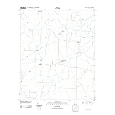
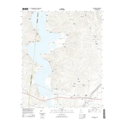
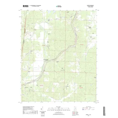
1936 Map of Bishop
USGS Topo · Published 1936About this map
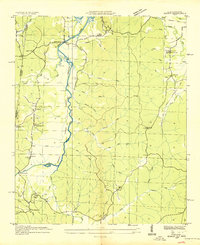
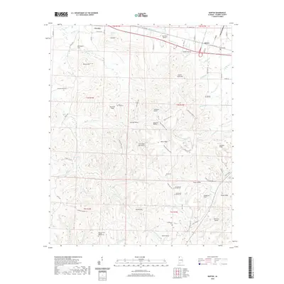
Bear Creek meanders along the Mississippi Alabama state line, marking a landscape in transition as the Tennessee Valley Authority projects reshaped the region. This 1936 field examination documents the proposed extent of the Pickwick Landing Reservoir, tracing the future shoreline against existing settlements like Allsboro and Maud. The map captures a high density of rural social infrastructure, from the Natzhez Trace Monument to local centers of worship and education such as Becks Chapel, Cumberland Ch, and Mt Hester Sch. The terrain is defined by a complex network of named hollows, including Pounders Hollow and Bone Cave Hollow, which drain into the main creek system. Genealogists will find significant value in the detailed placement of family-linked landmarks like Burns Cem and Mt Zion Cem before modern infrastructure altered the local geography.
Find a feature on this map
46 named features on this map. Tap any name to fly to it.
Don’t see what you’re looking for? This feature index may not catch every label — zoom into the map to look around manually.
Map Details
Editions of this 1936 Bishop Map
This is the sole edition of this map. No revisions or reprints were ever made.
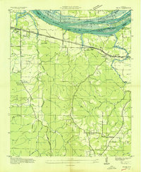
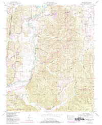
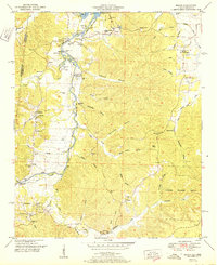
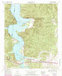
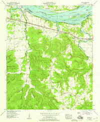
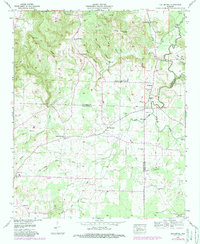
Historical Maps of Mount Hester Through Time
40 maps found

1925 Barton
Colbert County, AL

1926 Barton
Colbert County, AL
1929 Barton
Colbert County, AL
1936 Barton
Colbert County, AL
1936 Bishop
Colbert County, AL
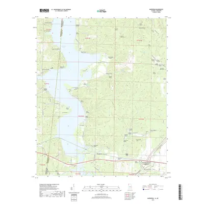
1936 Margerum
Colbert County, AL
1936 Old Bethel
Colbert County, AL
1936 Pride
Colbert County, AL
1950 Bishop
Colbert County, AL
1951 Bishop
Colbert County, AL
1953 Barton
Colbert County, AL
1953 Margerum
Colbert County, AL
1954 Pride
Colbert County, AL
1957 Old Bethel
Colbert County, AL
1971 Pride
Colbert County, AL
2011 Barton
Colbert County, AL
2011 Bishop
Colbert County, AL
2011 Margerum
Colbert County, AL
2011 Old Bethel
Colbert County, AL
2011 Pride
Colbert County, AL
2014 Barton
Colbert County, AL
2014 Bishop
Colbert County, AL
2014 Margerum
Colbert County, AL
2014 Old Bethel
Colbert County, AL
2014 Pride
Colbert County, AL
2018 Barton
Colbert County, AL
2018 Bishop
Colbert County, AL
2018 Margerum
Colbert County, AL
2018 Old Bethel
Colbert County, AL
2018 Pride
Colbert County, AL
2020 Barton
Colbert County, AL
2020 Bishop
Colbert County, AL
2020 Margerum
Colbert County, AL
2020 Old Bethel
Colbert County, AL
2020 Pride
Colbert County, AL
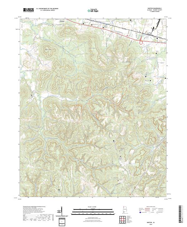
2024 Barton
Colbert County, AL
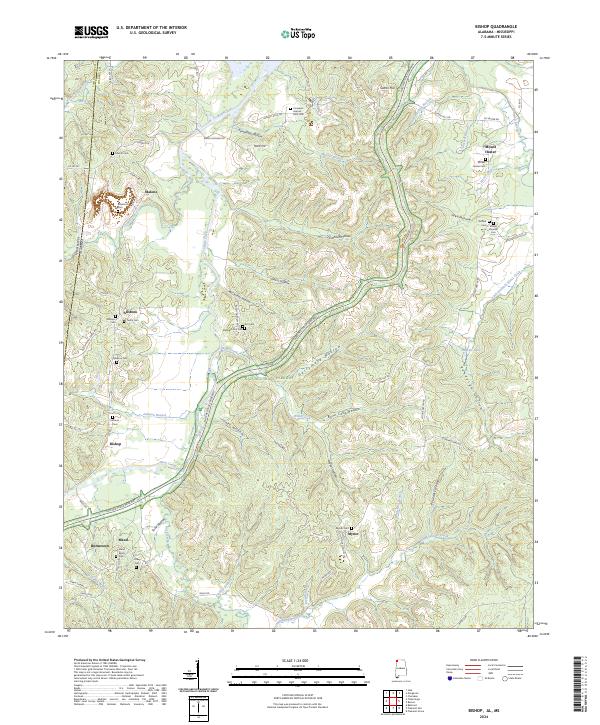
2024 Bishop
Colbert County, AL
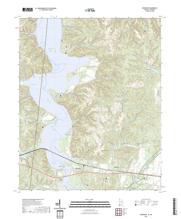
2024 Margerum
Colbert County, AL
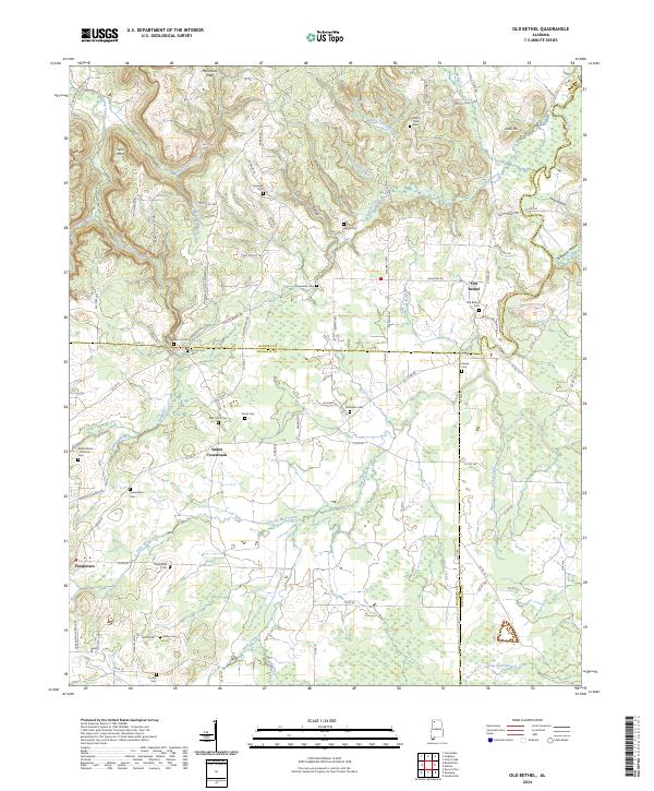
2024 Old Bethel
Colbert County, AL
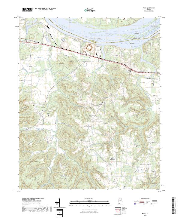
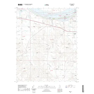
2024 Pride
Colbert County, AL