
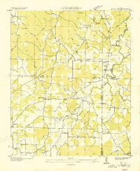
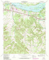
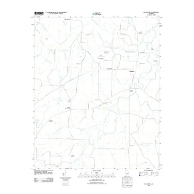
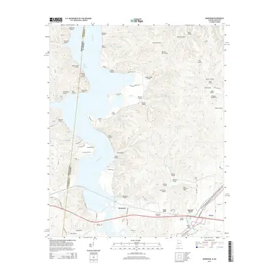
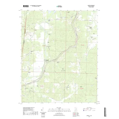
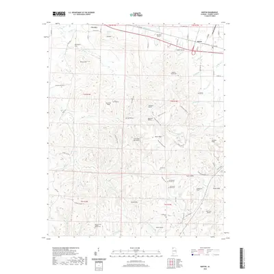
1926 Map of Barton
USGS Topo · Published 1926About this map
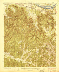
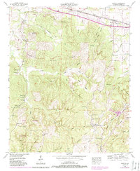
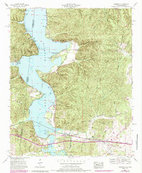
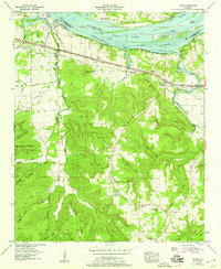
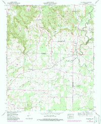
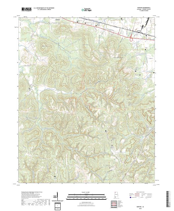
The Tennessee River corridor in Northwest Alabama is defined here by its steep, creek-cut terrain and the critical transit corridor of the Southern Railway. Surveyed in 1925, the map captures a rural landscape where life centered on a dense network of one-room schools and country churches like Evening Shade Church and Mountain Spring Church. The northern edge of the map shows the complex river geography of Sevenmile Island before later hydroelectric projects significantly altered the river's character. Inland, the topography is dominated by deep drainage systems like Buzzard Roost Creek and Cane Creek, which dictated the location of small settlements such as Barton and Frankfort. This sheet is an essential resource for tracing vanished local landmarks, including the numerous family-named schools like Jonesboro School and Thorn School that once anchored these hillside communities.
Find a feature on this map
75 named features on this map. Tap any name to fly to it.
Don’t see what you’re looking for? This feature index may not catch every label — zoom into the map to look around manually.
Map Details
Editions of this 1926 Barton Map
This is the sole edition of this map. No revisions or reprints were ever made.
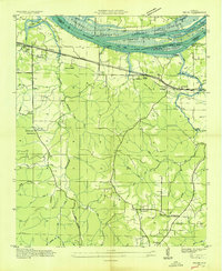
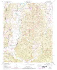
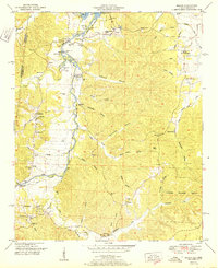
Historical Maps of Russellville Through Time
40 maps found

1925 Barton
Colbert County, AL
1926 Barton
Colbert County, AL
1929 Barton
Colbert County, AL
1936 Barton
Colbert County, AL
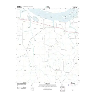
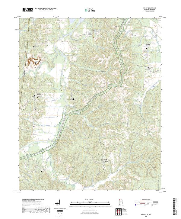
1936 Bishop
Colbert County, AL
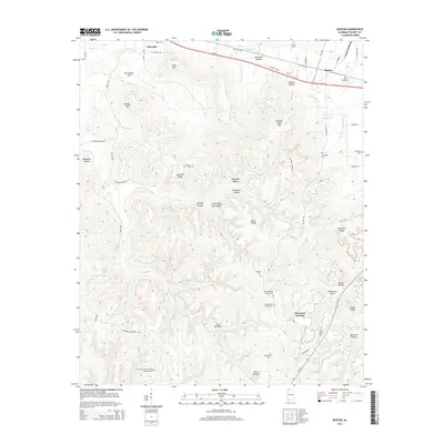
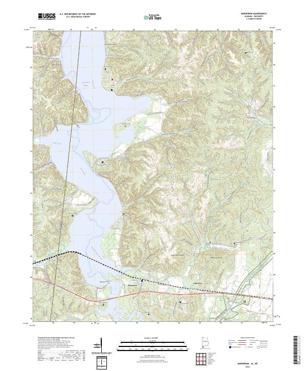
1936 Margerum
Colbert County, AL
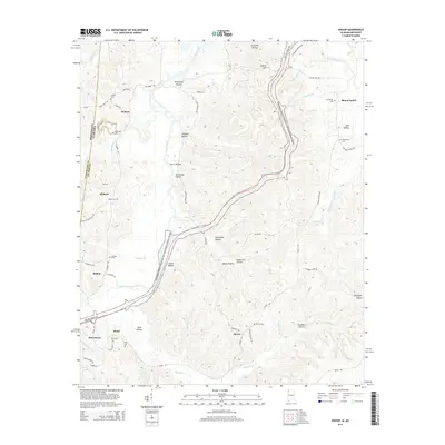
1936 Old Bethel
Colbert County, AL
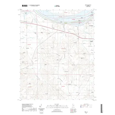
1936 Pride
Colbert County, AL
1950 Bishop
Colbert County, AL
1951 Bishop
Colbert County, AL
1953 Barton
Colbert County, AL
1953 Margerum
Colbert County, AL
1954 Pride
Colbert County, AL
1957 Old Bethel
Colbert County, AL
1971 Pride
Colbert County, AL
2011 Barton
Colbert County, AL
2011 Bishop
Colbert County, AL
2011 Margerum
Colbert County, AL
2011 Old Bethel
Colbert County, AL
2011 Pride
Colbert County, AL
2014 Barton
Colbert County, AL
2014 Bishop
Colbert County, AL
2014 Margerum
Colbert County, AL
2014 Old Bethel
Colbert County, AL
2014 Pride
Colbert County, AL
2018 Barton
Colbert County, AL
2018 Bishop
Colbert County, AL
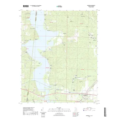
2018 Margerum
Colbert County, AL
2018 Old Bethel
Colbert County, AL
2018 Pride
Colbert County, AL
2020 Barton
Colbert County, AL
2020 Bishop
Colbert County, AL
2020 Margerum
Colbert County, AL
2020 Old Bethel
Colbert County, AL
2020 Pride
Colbert County, AL
2024 Barton
Colbert County, AL
2024 Bishop
Colbert County, AL
2024 Margerum
Colbert County, AL
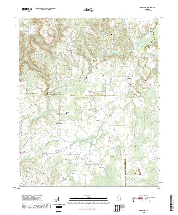
2024 Old Bethel
Colbert County, AL
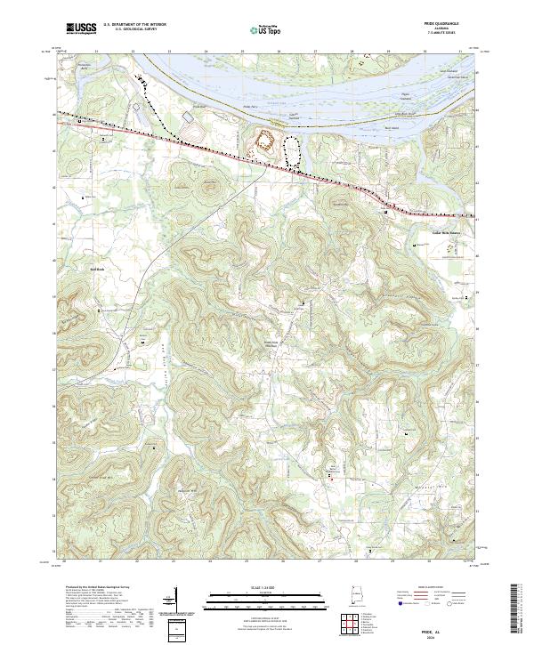
2024 Pride
Colbert County, AL