
1929 Map of Barton
USGS Topo · Published 1929About this map
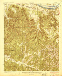
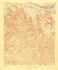
The Tennessee River defines the northern edge of this landscape, framing Sevenmile Island as it flows past the small railroad communities of the late 1920s. Along the Southern RR corridor, the settlements of Barton and Pride serve as the primary hubs for a rural interior heavily segmented by a dense network of creek valleys. The transition from the river lowlands into the rugged uplands of the Colbert and Franklin County border is marked by a high concentration of community landmarks, including numerous small schoolhouses and churches like Evening Shade Ch and Lime Rock Sch.
Find a feature on this map
60 named features on this map. Tap any name to fly to it.
Don’t see what you’re looking for? This feature index may not catch every label — zoom into the map to look around manually.
Map Details
Editions of this 1929 Barton Map
3 editions found
Other maps of this area

1911 · Iuka
USGS Topo · 1:48,000

1914 · Iuka
USGS Topo · 1:62,500

1914 · Muscle Shoals
USGS Topo · 1:48,000

1916 · Muscle Shoals
USGS Topo · 1:62,500

1924 · Tuscumbia
USGS Topo · 1:48,000

1924 · Gravelly Springs
USGS Topo · 1:48,000

1925 · Barton
USGS Topo · 1:62,500

1926 · Tuscumbia
USGS Topo · 1:62,500

1926 · Barton
USGS Topo · 1:48,000

1926 · Gravelly Springs
USGS Topo · 1:62,500