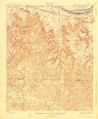
1929 Map of Barton
USGS Topo · Published 1929About this map
The Tennessee River corridor in northwest Alabama reveals a dense network of upland agriculture and valley settlements during the mid-1920s. Centered on the Southern railroad line, communities like Cherokee, Barton, and Pride serve as anchors for a landscape defined by sharp ridges and winding waterways. The prevalence of small rural institutions is striking, with numerous schoolhouses such as Thorn Sch and Possum Sch scattered through the hollows.
Find a feature on this map
66 named features on this map. Tap any name to fly to it.
Don’t see what you’re looking for? This feature index may not catch every label — zoom into the map to look around manually.
Map Details
Editions of this 1929 Barton Map
3 editions found

Other maps of this area

1911 · Iuka
USGS Topo · 1:48,000

1914 · Iuka
USGS Topo · 1:62,500

1914 · Muscle Shoals
USGS Topo · 1:48,000

1916 · Muscle Shoals
USGS Topo · 1:62,500

1924 · Tuscumbia
USGS Topo · 1:48,000

1924 · Gravelly Springs
USGS Topo · 1:48,000

1925 · Barton
USGS Topo · 1:62,500

1926 · Tuscumbia
USGS Topo · 1:62,500

1926 · Barton
USGS Topo · 1:48,000

1926 · Gravelly Springs
USGS Topo · 1:62,500