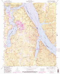
1953 Map of Yellow Creek
USGS Topo · Published 1987About this map
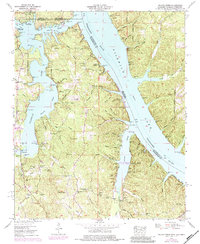
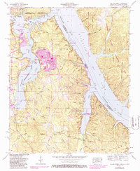
Pickwick Lake and the Tennessee River dominate this borderland where Mississippi, Alabama, and Tennessee converge. The landscape is defined by the massive engineering of the Tennessee-Tombigbee Waterway, which cuts through the winding course of Yellow Creek. For genealogists, the map preserves the locations of several rural burial grounds like Clement Cem and Short Creek Cem, as well as local landmarks such as Salem Ch and Camp Ground Church.
Find a feature on this map
60 named features on this map. Tap any name to fly to it.
Don’t see what you’re looking for? This feature index may not catch every label — zoom into the map to look around manually.
Map Details
Editions of this 1953 Yellow Creek Map
6 editions found
Other maps of this area

1911 · Iuka
USGS Topo · 1:48,000

1914 · Iuka
USGS Topo · 1:62,500

1935 · Doskie
USGS Topo · 1:24,000

1935 · Iuka
USGS Topo · 1:24,000

1935 · Leedy
USGS Topo · 1:24,000

1936 · Margerum
USGS Topo · 1:24,000

1936 · Waterloo
USGS Topo · 1:24,000

1936 · Counce
USGS Topo · 1:24,000

1936 · Shaws
USGS Topo · 1:24,000

1936 · Pickwick
USGS Topo · 1:24,000