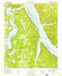
1953 Map of Yellow Creek
USGS Topo · Published 1958About this map
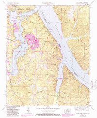
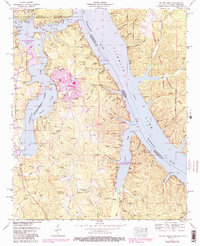
The Tennessee River and the newly created Pickwick Lake dominate this landscape where Mississippi, Alabama, and Tennessee meet. This mid-century survey reveals a transition from traditional rural settlement to recreation and water management, illustrated by the State Line Cabin Area and Yellow Creek Cabin Area nestled along the shoreline. While the rising waters of the lake reshaped the valley, older upland communities remain visible through local institutions like Salem Ch, Patrick Ch, and the Camp Ground Church.
Find a feature on this map
74 named features on this map. Tap any name to fly to it.
Don’t see what you’re looking for? This feature index may not catch every label — zoom into the map to look around manually.
Map Details
Editions of this 1953 Yellow Creek Map
6 editions found
Other maps of this area

1911 · Iuka
USGS Topo · 1:48,000

1914 · Iuka
USGS Topo · 1:62,500

1935 · Doskie
USGS Topo · 1:24,000

1935 · Iuka
USGS Topo · 1:24,000

1935 · Leedy
USGS Topo · 1:24,000

1936 · Margerum
USGS Topo · 1:24,000

1936 · Waterloo
USGS Topo · 1:24,000

1936 · Counce
USGS Topo · 1:24,000

1936 · Shaws
USGS Topo · 1:24,000

1936 · Pickwick
USGS Topo · 1:24,000