Old Maps of Upper Sinking, Tennessee
Explore 9 old maps of Upper Sinking, spanning from 1936 to today. These high-resolution historic maps reveal how streets, neighborhoods, landmarks, and natural features evolved over time — perfect for genealogy, metal detecting, research, and local history exploration.
What you can do with these maps:
- See how Upper Sinking changed over time: Compare historical maps to modern-day views to trace roads, homesites, rail lines & more.
- View detailed metadata: Each map includes creators, publishers, year, scale, and archive source.
- Overlay maps with satellite & LiDAR: Visualize the past alongside modern tools to explore terrain & human change.
- Trusted historical sources: Maps sourced from the USGS, Library of Congress, and other archives.
- Access maps your way: View online, download high-res files, or order prints for personal or research use.
Start exploring old maps of Upper Sinking to uncover forgotten places, hidden landmarks, and the deep history beneath your feet.
Upper Sinking, TN maps
(9)- 1936 Map of Pleasantville
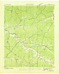 1936 Pleasantville1936 Print · USGSHickman County's rugged creek valleys are captured in the mid-1930s just as the Tennessee Valley Authority began modernizing the region. Local historians can trace old homesteads and community centers like Farmers Exchange, Pleasantville School, and the remote Bethel Church.
 - 1951 Map of Pleasantville, 1957 Print
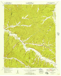 1951 Pleasantville1957 Print · USGSThe Hickman and Perry County line in the early fifties is a maze of hollows and family-named creek valleys. Genealogists can trace rural life through sites like Pleasantville, Farmers Exchange, and the Sulphur Creek Church.2 unique versions available
 - 1956 Map of Columbia, 1960 Print
 1956 Columbia1960 Print · USGSMiddle Tennessee in the mid-fifties presents a landscape of established river towns and critical rail hubs before the arrival of the modern interstate system. Researchers can trace the routes of the Louisville and Nashville railroad or locate historic landmarks like Stones River National Military Park and the Tennessee National Wildlife Refuge.6 unique versions available
 - 1986 Map of Hohenwald
 1986 Hohenwald1986 Print · USGSThe Western Highland Rim of Tennessee comes into focus during the mid-eighties, showing the deep river valleys and high ridges of Lewis and Perry counties. Researchers can trace the path of the Natchez Trace Parkway or locate interior settlements like Chestnut Grove, Farmers Exchange, and Hustburg.3 unique versions available
 - 2010 Map of Pleasantville, 2010 Print
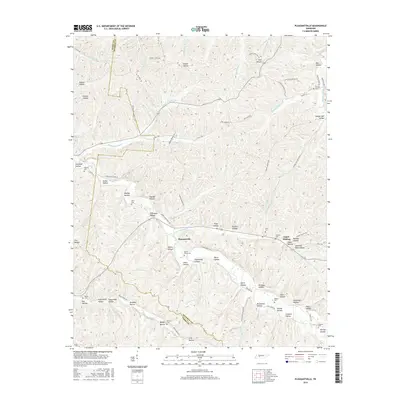
 2010 Pleasantville2010 Print · USGSCovers Upper Sinking, including Pleasantville, Hickman County, and other nearby areas
 - 2013 Map of Pleasantville, 2013 Print
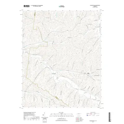
 2013 Pleasantville2013 Print · USGSCovers Upper Sinking, including Pleasantville, Hickman County, and other nearby areas
 - 2016 Map of Pleasantville, 2016 Print
 2016 Pleasantville2016 Print · USGSCovers Upper Sinking, including Pleasantville, Hickman County, and other nearby areas
 - 2019 Map of Pleasantville, 2019 Print
 2019 Pleasantville2019 Print · USGSCovers Upper Sinking, including Pleasantville, Hickman County, and other nearby areas
 - 2022 Map of Pleasantville, 2022 Print
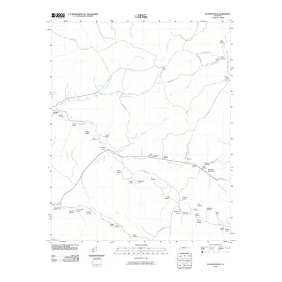
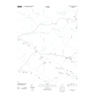
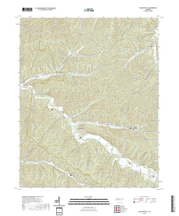 2022 Pleasantville2022 Print · USGSThe Hickman and Perry county line area in middle Tennessee is a landscape of deep hollows and ancestral family sites. Researchers can locate numerous burial grounds like Beech Grove Cem and Stanley Cem along the winding waters of Cane Creek.
End of results
Showing maps 1-9 of 9
Top cities near Upper Sinking
- Hohenwald historical maps
- Centerville historical maps
- Linden historical maps
- Lobelville historical maps
Frequently asked questions
- What are the different types of historical maps available for Upper Sinking?
- What is the oldest map of Upper Sinking?
- Where can I purchase historical maps of Upper Sinking for my home or office?
- Where can I download high-res historical maps of Upper Sinking?
- Are there historical topographic maps available for Upper Sinking?
- Is there historical aerial imagery available for Upper Sinking?
- Where are historical maps of Upper Sinking sourced from?