1900s (20th Century) Maps of Holston Hills, Knoxville
Explore 24 historic maps of Holston Hills from the 1900s (20th Century). These maps offer a rare glimpse into what life looked like during the 1900s — showing old roads, neighborhoods, homes, and landmarks that have changed or disappeared over time.
Whether you're researching your family's past, planning a metal detecting trip, or studying how Holston Hills's landscape evolved across the 1900s, these high-resolution maps are a powerful tool for exploring the history of this region.
- Focus on a specific era: All maps on this page are from the 1900s, giving you a focused view of this time period.
- See what’s changed: Compare century-old streets, trails, and buildings to today's modern landscape using overlays and satellite layers.
- Research with precision: Use these maps for genealogy, historical research, land use analysis, or educational projects.
- View, download, or print: Maps are fully viewable online in high resolution, and can be downloaded or printed for your own records.
Start exploring Holston Hills's history through authentic maps from the 1900s. This is your window into the past.
Holston Hills, Knoxville maps
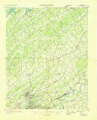
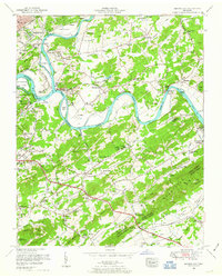
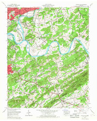
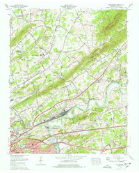
(24)- 1900 Map of Maynardville
 1900 Maynardville1900 Print · USGSCovers Holston Hills, including Knoxville, Sevierville, and other nearby areas4 unique versions available
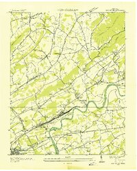
 - 1901 Map of Knoxville
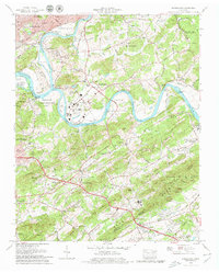
 1901 Knoxville1901 Print · USGSCovers Holston Hills, including Knoxville, Maryville, and other nearby areas5 unique versions available
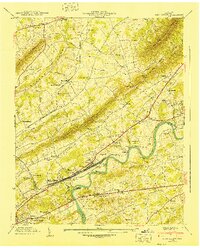
 - 1935 Map of Knoxville
 1935 Knoxville1935 Print · USGSCovers Holston Hills, including Knoxville, Maryville, and other nearby areas
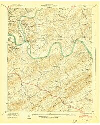
 - 1936 Map of Gorryton
 1936 Gorryton1936 Print · USGSCovers Holston Hills, including Knoxville, Powell, and other nearby areas
 - 1936 Map of Shooks Gap
 1936 Shooks Gap1936 Print · USGSCovers Holston Hills, including Knoxville, High Bluff, and other nearby areas
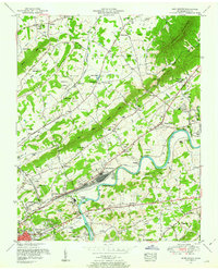
 - 1936 Map of John Sevier
 1936 John Sevier1936 Print · USGSCovers Holston Hills, including Knoxville, Mascot, and other nearby areas
 - 1940 Map of John Sevier
 1940 John Sevier1940 Print · USGSCovers Holston Hills, including Knoxville, Mascot, and other nearby areas2 unique versions available
 - 1940 Map of Shooks Gap
 1940 Shooks Gap1940 Print · USGSCovers Holston Hills, including Knoxville, High Bluff, and other nearby areas3 unique versions available
 - 1953 Map of Shooks Gap, 1954 Print
 1953 Shooks Gap1954 Print · USGSCovers Holston Hills, including Knoxville, High Bluff, and other nearby areas3 unique versions available
 - 1953 Map of John Sevier, 1954 Print
 1953 John Sevier1954 Print · USGSCovers Holston Hills, including Knoxville, Mascot, and other nearby areas2 unique versions available
 - 1955 Map of Knoxville
 1955 Knoxville1955 Print · USGSCovers Holston Hills, including Knoxville, Asheville, and other nearby areas
 - 1955 Map of Johnson City
 1955 Johnson City1955 Print · USGSCovers Holston Hills, including Knoxville, Johnson City, and other nearby areas
 - 1957 Map of Knoxville, 1966 Print
 1957 Knoxville1966 Print · USGSCovers Holston Hills, including Knoxville, Asheville, and other nearby areas4 unique versions available
 - 1957 Map of Johnson City, 1966 Print
 1957 Johnson City1966 Print · USGSCovers Holston Hills, including Knoxville, Johnson City, and other nearby areas
 - 1960 Map of Knoxville
 1960 Knoxville1960 Print · USGSCovers Holston Hills, including Knoxville, Asheville, and other nearby areas2 unique versions available
 - 1960 Map of Johnson City
 1960 Johnson City1960 Print · USGSCovers Holston Hills, including Knoxville, Johnson City, and other nearby areas
 - 1963 Map of Johnson City
 1963 Johnson City1963 Print · USGSCovers Holston Hills, including Knoxville, Johnson City, and other nearby areas
 - 1964 Map of Knoxville
 1964 Knoxville1964 Print · USGSCovers Holston Hills, including Knoxville, Asheville, and other nearby areas
 - 1966 Map of John Sevier, 1968 Print
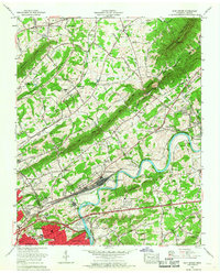 1966 John Sevier1968 Print · USGSCovers Holston Hills, including Knoxville, Mascot, and other nearby areas
 - 1966 Map of Shooks Gap, 1968 Print
 1966 Shooks Gap1968 Print · USGSCovers Holston Hills, including Knoxville, High Bluff, and other nearby areas
 - 1978 Map of John Sevier
 1978 John Sevier1978 Print · USGSCovers Holston Hills, including Knoxville, Mascot, and other nearby areas2 unique versions available
 - 1979 Map of Shooks Gap
 1979 Shooks Gap1979 Print · USGSCovers Holston Hills, including Knoxville, High Bluff, and other nearby areas4 unique versions available
 - 1981 Map of Morristown
 1981 Morristown1981 Print · USGSCovers Holston Hills, including Knoxville, Morristown, and other nearby areas
 - 1983 Map of Knoxville, 1984 Print
 1983 Knoxville1984 Print · USGSCovers Holston Hills, including Knoxville, Maryville, and other nearby areas
End of results
Showing maps 1-24 of 24
Frequently asked questions
- What are the different types of historical maps available for Holston Hills?
- What is the oldest map of Holston Hills?
- Where can I purchase historical maps of Holston Hills for my home or office?
- Where can I download high-res historical maps of Holston Hills?
- Are there historical topographic maps available for Holston Hills?
- Is there historical aerial imagery available for Holston Hills?
- Where are historical maps of Holston Hills sourced from?