Old Maps of Ovilla, Tennessee
Explore 10 old maps of Ovilla, spanning from 1905 to today. These high-resolution historic maps reveal how streets, neighborhoods, landmarks, and natural features evolved over time — perfect for genealogy, metal detecting, research, and local history exploration.
What you can do with these maps:
- See how Ovilla changed over time: Compare historical maps to modern-day views to trace roads, homesites, rail lines & more.
- View detailed metadata: Each map includes creators, publishers, year, scale, and archive source.
- Overlay maps with satellite & LiDAR: Visualize the past alongside modern tools to explore terrain & human change.
- Trusted historical sources: Maps sourced from the USGS, Library of Congress, and other archives.
- Access maps your way: View online, download high-res files, or order prints for personal or research use.
Start exploring old maps of Ovilla to uncover forgotten places, hidden landmarks, and the deep history beneath your feet.
Ovilla, TN maps
(10)- 1905 Map of Waynesboro
 1905 Waynesboro1905 Print · USGSWayne County and the Tennessee-Alabama borderlands are captured here at the start of the century, showing a network of river landings and old stage stands. Researchers can trace the Nathez Trace and locate historic community hubs like Martins Mills, Whittens Stand, and Clifton.2 unique versions available
 - 1936 Map of Ovilla
 1936 Ovilla1936 Print · USGSThe border of Wayne and Lawrence Counties in the mid-1930s reveals a quiet landscape of rural schoolhouses and family cemeteries. Trace old property lines near Highland School, County Line Church, and the waters of the Little Buffalo River.
 - 1951 Map of Ovilla, 1954 Print
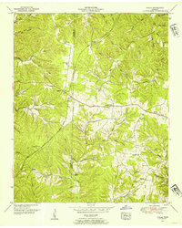 1951 Ovilla1954 Print · USGSThe rural divide between Wayne and Lawrence counties comes into focus in the early 1950s, highlighting a landscape of ridge-top schools and creek-bottom settlements. Genealogists and local historians can trace family roots at New Haven Ch, Spann Cem, and the County Line School.2 unique versions available
 - 1956 Map of Columbia, 1960 Print
 1956 Columbia1960 Print · USGSMiddle Tennessee in the mid-fifties presents a landscape of established river towns and critical rail hubs before the arrival of the modern interstate system. Researchers can trace the routes of the Louisville and Nashville railroad or locate historic landmarks like Stones River National Military Park and the Tennessee National Wildlife Refuge.6 unique versions available
 - 1985 Map of Lawrenceburg
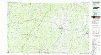 1985 Lawrenceburg1985 Print · USGSMiddle Tennessee and Northern Alabama are captured in the mid-1980s, showcasing a landscape of high ridges and winding river valleys. Genealogists and historians can trace rail lines like the Seaboard System Railroad or locate community landmarks such as Saint Marys Church and Three Churches.2 unique versions available
 - 2010 Map of Ovilla, 2010 Print
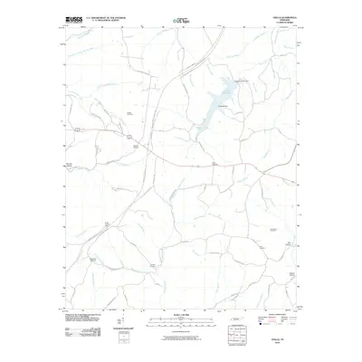 2010 Ovilla2010 Print · USGSWayne County's rural landscape is captured here in the early 21st century, revealing a complex network of creek-side settlements and family homesteads. Researchers can locate several legacy burial grounds including Fishtrap Cemetery and Unity Cemetery near Owl Hollow.
 - 2013 Map of Ovilla, 2013 Print
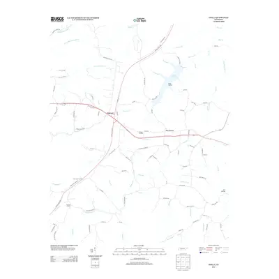 2013 Ovilla2013 Print · USGSWayne County's Highland Rim is captured here in the early twenty-first century, showing the intersection of modern bypasses and historical woods. Researchers can trace family-named landmarks and old routes like Old Chisholm Rd, Ovilla Lookout Tower, and Laurel Hill Lake.
 - 2016 Map of Ovilla, 2016 Print
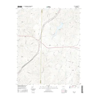 2016 Ovilla2016 Print · USGSThe Tennessee hills along the Wayne and Lawrence County line come into focus during the mid-2010s. Local researchers can trace family landmarks like Highland Cem and Unity Cem, or follow the Natchez Trace Pkwy as it passes Murphy Hollow.
 - 2019 Map of Ovilla, 2019 Print
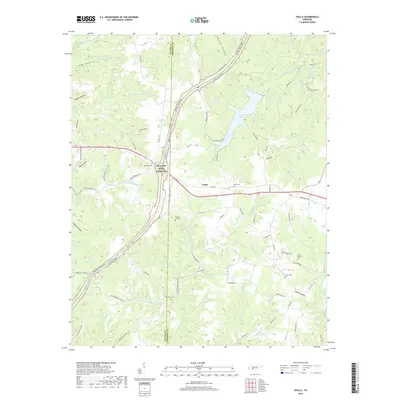 2019 Ovilla2019 Print · USGSThis Tennessee borderland survey near the Lawrence and Wayne county line shows the area during the early twenty-first century. Genealogists can locate several family burial grounds including Highland Cem and Unity Cem nestled near the Natchez Trace Parkway.
 - 2022 Map of Ovilla, 2022 Print
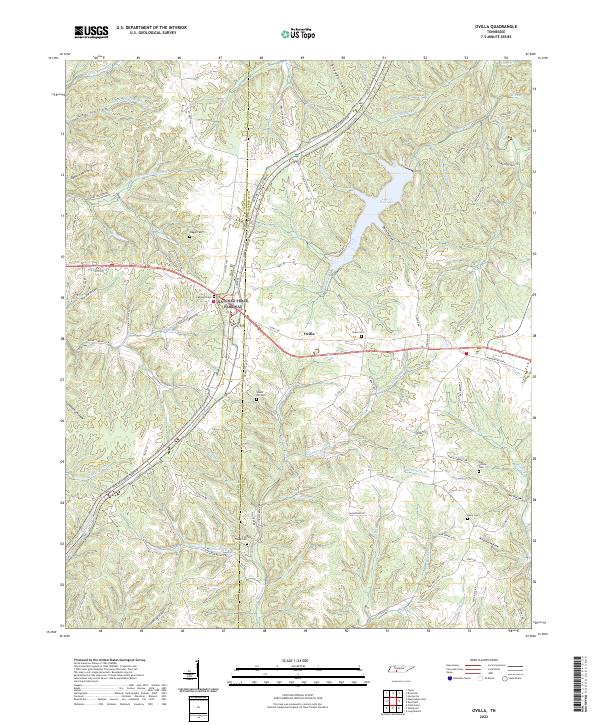 2022 Ovilla2022 Print · USGSThe Lawrence County uplands are documented here in the early twenty-first century, centered on the community of Ovilla. Genealogists can trace numerous family burial sites across the ridges, including Highland Cemetery, Fish Trapp Cemetery, and Owl Hollow Cemetery.
End of results
Showing maps 1-10 of 10
Top cities near Ovilla
- Lawrenceburg historical maps
- Hohenwald historical maps
- Waynesboro historical maps
- Loretto historical maps
- Collinwood historical maps
- The Farm historical maps
Frequently asked questions
- What are the different types of historical maps available for Ovilla?
- What is the oldest map of Ovilla?
- Where can I purchase historical maps of Ovilla for my home or office?
- Where can I download high-res historical maps of Ovilla?
- Are there historical topographic maps available for Ovilla?
- Is there historical aerial imagery available for Ovilla?
- Where are historical maps of Ovilla sourced from?