Old Maps of Pottsville, Tennessee
Explore 9 old maps of Pottsville, spanning from 1936 to today. These high-resolution historic maps reveal how streets, neighborhoods, landmarks, and natural features evolved over time — perfect for genealogy, metal detecting, research, and local history exploration.
What you can do with these maps:
- See how Pottsville changed over time: Compare historical maps to modern-day views to trace roads, homesites, rail lines & more.
- View detailed metadata: Each map includes creators, publishers, year, scale, and archive source.
- Overlay maps with satellite & LiDAR: Visualize the past alongside modern tools to explore terrain & human change.
- Trusted historical sources: Maps sourced from the USGS, Library of Congress, and other archives.
- Access maps your way: View online, download high-res files, or order prints for personal or research use.
Start exploring old maps of Pottsville to uncover forgotten places, hidden landmarks, and the deep history beneath your feet.
Pottsville, TN maps
(9)- 1936 Map of Rally Hill
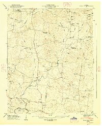
 1936 Rally Hill1936 Print · USGSThe rural borders of Maury, Williamson, and Marshall counties are shown here during the mid-1930s, featuring a landscape of small family farms and tight-knit crossroads. Researchers can locate vanished community anchors like the Lee Buckner School, Lees Corner, and Hargrove Cemetery.
 - 1947 Map of Rally Hill, 1948 Print
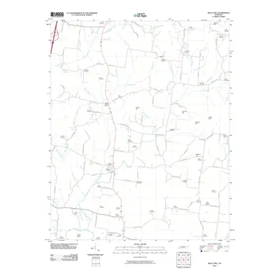
 1947 Rally Hill1948 Print · USGSMid-century Middle Tennessee comes to life in this survey of the Maury and Williamson county line. Genealogists can trace family roots through dozens of sites like Derryberry Cem or visit vanished crossroads like Rally Hill and Lunns Store.4 unique versions available
 - 1956 Map of Columbia, 1960 Print
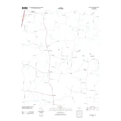
 1956 Columbia1960 Print · USGSMiddle Tennessee in the mid-fifties presents a landscape of established river towns and critical rail hubs before the arrival of the modern interstate system. Researchers can trace the routes of the Louisville and Nashville railroad or locate historic landmarks like Stones River National Military Park and the Tennessee National Wildlife Refuge.6 unique versions available
 - 1985 Map of Murfreesboro, 1986 Print
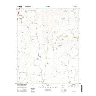
 1985 Murfreesboro1986 Print · USGSMiddle Tennessee in the mid-1980s shows a landscape of growing towns and deep-rooted rural outposts. Local researchers can trace old family lines near Bell Buckle, locate landmarks like Donnel Chapel, or explore the grounds of Henry Horton State Park and Hoovers Gap.
 - 2010 Map of Rally Hill, 2010 Print
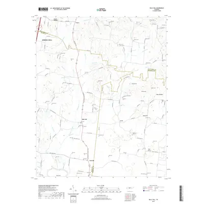
 2010 Rally Hill2010 Print · USGSCovers Pottsville, including Spring Hill, Bear Wallow, and other nearby areas
 - 2013 Map of Rally Hill, 2013 Print
 2013 Rally Hill2013 Print · USGSCovers Pottsville, including Spring Hill, Bear Wallow, and other nearby areas
 - 2016 Map of Rally Hill, 2016 Print
 2016 Rally Hill2016 Print · USGSCovers Pottsville, including Spring Hill, Bear Wallow, and other nearby areas
 - 2019 Map of Rally Hill, 2019 Print
 2019 Rally Hill2019 Print · USGSCovers Pottsville, including Spring Hill, Bear Wallow, and other nearby areas
 - 2022 Map of Rally Hill, 2022 Print
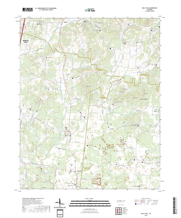 2022 Rally Hill2022 Print · USGSThe Tennessee countryside south of Spring Hill is captured here during its modern development while still preserving dozens of family landmarks. Genealogists can trace family burial sites like Moses Family Cem and Smithson Cem or locate old community centers at Rally Hill and Pottsville.
End of results
Showing maps 1-9 of 9
Top cities near Pottsville
- Franklin historical maps
- Columbia historical maps
- Spring Hill historical maps
- Lewisburg historical maps
- Thompson's Station historical maps
- Chapel Hill historical maps
See more
Frequently asked questions
- What are the different types of historical maps available for Pottsville?
- What is the oldest map of Pottsville?
- Where can I purchase historical maps of Pottsville for my home or office?
- Where can I download high-res historical maps of Pottsville?
- Are there historical topographic maps available for Pottsville?
- Is there historical aerial imagery available for Pottsville?
- Where are historical maps of Pottsville sourced from?