Old Maps of Spring Hill, Tennessee
Explore 35 old maps of Spring Hill, spanning from 1909 to today. These high-resolution historic maps reveal how streets, neighborhoods, landmarks, and natural features evolved over time — perfect for genealogy, metal detecting, research, and local history exploration.
What you can do with these maps:
- See how Spring Hill changed over time: Compare historical maps to modern-day views to trace roads, homesites, rail lines & more.
- View detailed metadata: Each map includes creators, publishers, year, scale, and archive source.
- Overlay maps with satellite & LiDAR: Visualize the past alongside modern tools to explore terrain & human change.
- Trusted historical sources: Maps sourced from the USGS, Library of Congress, and other archives.
- Access maps your way: View online, download high-res files, or order prints for personal or research use.
Start exploring old maps of Spring Hill to uncover forgotten places, hidden landmarks, and the deep history beneath your feet.
Spring Hill, TN maps
(35)- 1909 Map of Franklin
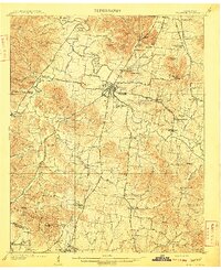 1909 Franklin1909 Print · USGSWilliamson County at the start of the twentieth century remains a landscape of historic pikes and rail-side villages. Genealogists can locate family homesteads near landmarks like Thompsons Station, Leipers Fork, and the Boiling Spring Academy.2 unique versions available
 - 1936 Map of Rally Hill
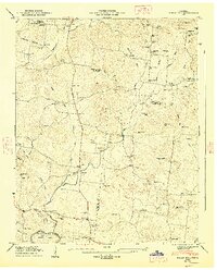
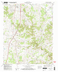
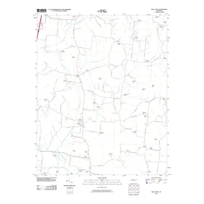
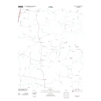
 1936 Rally Hill1936 Print · USGSThe rural borders of Maury, Williamson, and Marshall counties are shown here during the mid-1930s, featuring a landscape of small family farms and tight-knit crossroads. Researchers can locate vanished community anchors like the Lee Buckner School, Lees Corner, and Hargrove Cemetery.
 - 1936 Map of Spring Hill
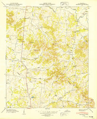
 1936 Spring Hill1936 Print · USGSThe Tennessee and Maury county line area is captured here in the mid-1930s as a landscape of rural schoolhouses and family cemeteries. Local historians can trace the Louisville and Nashville RR corridor and find landmarks like Spring Hill Sta, New Town Cem, and Mt Lavergne Sch.
 - 1936 Map of Carters Creek
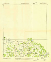
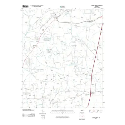
 1936 Carters Creek1936 Print · USGSThe northern reaches of Maury County are captured in the mid-1930s as the rural economy centered around the Rutherford Creek basin. Genealogists can locate family landmarks like Buford Cem, Smith Chapel, and the historic Greens Mill.
 - 1936 Map of Bethesda, 1969 Print
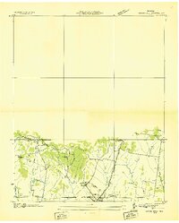
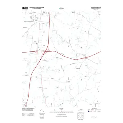
 1936 Bethesda1969 Print · USGSSouthern Williamson County in the mid-thirties remains a landscape of tightly knit rural settlements and family homesteads. Genealogists can trace ancestral land near Bethesda through numerous small burial grounds like Pointer Cem and Evans Cem.2 unique versions available
 - 1941 Map of Carters Creek
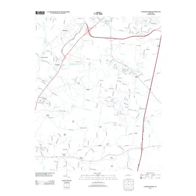
 1941 Carters Creek1941 Print · USGSCentral Tennessee at the start of the 1940s reveals a landscape of rural schoolhouses and family cemeteries along the Andrew Jackson Highway. Trace early mineral industry at the Phosphate Mine or locate ancestral sites like Old Brick Ch and Buford Cem.2 unique versions available
 - 1946 Map of Bethesda, 1974 Print
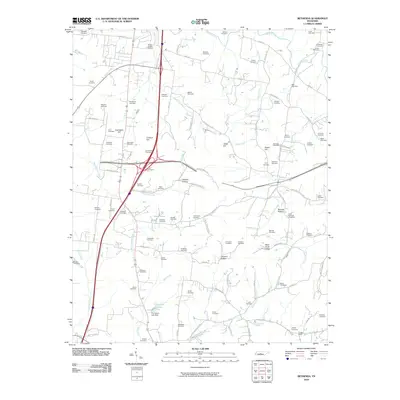
 1946 Bethesda1974 Print · USGSWilliamson County's rural heartland is captured here in the mid-1940s, showing a landscape defined by the Tennessee River Valley Divide. Researchers can trace dozens of family burial sites like Hardeman Cem and old schoolhouses including Westwood Sch.
 - 1946 Map of Spring Hill, 1975 Print
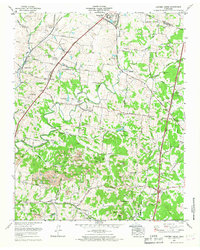
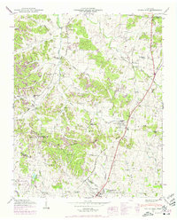 1946 Spring Hill1975 Print · USGSMid-century Middle Tennessee comes into focus as the Louisville and Nashville railroad tracks cut through the hills of Maury and Williamson Counties. Genealogists and historians can trace family plots like Harrison Cem and Patton Cem alongside landmarks such as Thompsons Station and the Mt Laverne School.3 unique versions available
 - 1947 Map of Rally Hill, 1948 Print
 1947 Rally Hill1948 Print · USGSMid-century Middle Tennessee comes to life in this survey of the Maury and Williamson county line. Genealogists can trace family roots through dozens of sites like Derryberry Cem or visit vanished crossroads like Rally Hill and Lunns Store.4 unique versions available
 - 1949 Map of Bethesda
 1949 Bethesda1949 Print · USGSSouthern Williamson County appears here in the late 1940s, showing a landscape defined by the Tennessee Duck River Valley Divide. Genealogists can trace family roots through dozens of local sites like Sprott Cem, Bethesda Sch, and the community of Peytonsville.3 unique versions available
 - 1949 Map of Spring Hill
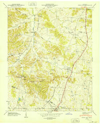 1949 Spring Hill1949 Print · USGSSpring Hill and Thompsons Station are shown here in the late 1940s as central hubs for the local rail and road networks. Genealogists can trace family-named sites such as Harrison Cem, West Harpeth School, and McCormack Crossing along the old pike.
 - 1956 Map of Columbia, 1960 Print
 1956 Columbia1960 Print · USGSMiddle Tennessee in the mid-fifties presents a landscape of established river towns and critical rail hubs before the arrival of the modern interstate system. Researchers can trace the routes of the Louisville and Nashville railroad or locate historic landmarks like Stones River National Military Park and the Tennessee National Wildlife Refuge.6 unique versions available
 - 1965 Map of Carters Creek, 1967 Print
 1965 Carters Creek1967 Print · USGSMaury and Williamson Counties are shown here during the mid-1960s, a period defined by established agricultural research and active mining operations. Researchers can trace family history at Meadow Lawn Memorial Garden or locate the Tennessee Orphans Home and Lanton Church.2 unique versions available
 - 1982 Map of Bethesda, 1983 Print
 1982 Bethesda1983 Print · USGSThe rolling hills and hollows of Williamson County are captured here in the early 1980s, documenting a landscape of deep-rooted family farms and rural communities. Genealogists can trace hundreds of family names across Hardeman Cem, Peytonsville, and Bethesda.2 unique versions available
 - 1985 Map of Murfreesboro, 1986 Print
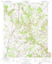
 1985 Murfreesboro1986 Print · USGSMiddle Tennessee in the mid-1980s shows a landscape of growing towns and deep-rooted rural outposts. Local researchers can trace old family lines near Bell Buckle, locate landmarks like Donnel Chapel, or explore the grounds of Henry Horton State Park and Hoovers Gap.
 - 2010 Map of Bethesda, 2010 Print
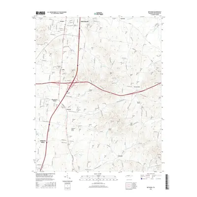
 2010 Bethesda2010 Print · USGSCovers Spring Hill, including Franklin, Thompson's Station, and other nearby areas
 - 2010 Map of Rally Hill, 2010 Print
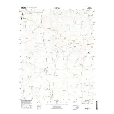
 2010 Rally Hill2010 Print · USGSCovers Spring Hill, including Bear Wallow, Lees Corner, and other nearby areas
 - 2010 Map of Carters Creek, 2010 Print
 2010 Carters Creek2010 Print · USGSCovers Spring Hill, including Columbia, Kleburne, and other nearby areas
 - 2010 Map of Spring Hill, 2010 Print
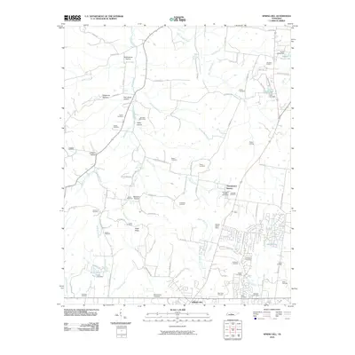 2010 Spring Hill2010 Print · USGSCovers Spring Hill, including Franklin, Thompson's Station, and other nearby areas
 - 2013 Map of Carters Creek, 2013 Print
 2013 Carters Creek2013 Print · USGSCovers Spring Hill, including Columbia, Kleburne, and other nearby areas
 - 2013 Map of Spring Hill, 2013 Print
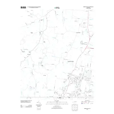 2013 Spring Hill2013 Print · USGSCovers Spring Hill, including Franklin, Thompson's Station, and other nearby areas
 - 2013 Map of Rally Hill, 2013 Print
 2013 Rally Hill2013 Print · USGSCovers Spring Hill, including Bear Wallow, Lees Corner, and other nearby areas
 - 2013 Map of Bethesda, 2013 Print
 2013 Bethesda2013 Print · USGSCovers Spring Hill, including Franklin, Thompson's Station, and other nearby areas
 - 2016 Map of Bethesda, 2016 Print
 2016 Bethesda2016 Print · USGSCovers Spring Hill, including Franklin, Thompson's Station, and other nearby areas
 - 2016 Map of Rally Hill, 2016 Print
 2016 Rally Hill2016 Print · USGSCovers Spring Hill, including Bear Wallow, Lees Corner, and other nearby areas
Showing maps 1-25 of 35
Top cities near Spring Hill
- Franklin historical maps
- Brentwood historical maps
- Columbia historical maps
- Fairview historical maps
- Mount Pleasant historical maps
- Thompson's Station historical maps
See more
Frequently asked questions
- What are the different types of historical maps available for Spring Hill?
- What is the oldest map of Spring Hill?
- Where can I purchase historical maps of Spring Hill for my home or office?
- Where can I download high-res historical maps of Spring Hill?
- Are there historical topographic maps available for Spring Hill?
- Is there historical aerial imagery available for Spring Hill?
- Where are historical maps of Spring Hill sourced from?