2000s (21st Century) Maps of Spring Hill, Tennessee
Explore 20 historic maps of Spring Hill from the 2000s (21st Century). These maps offer a rare glimpse into what life looked like during the 2000s — showing old roads, neighborhoods, homes, and landmarks that have changed or disappeared over time.
Whether you're researching your family's past, planning a metal detecting trip, or studying how Spring Hill's landscape evolved across the 2000s, these high-resolution maps are a powerful tool for exploring the history of this region.
- Focus on a specific era: All maps on this page are from the 2000s, giving you a focused view of this time period.
- See what’s changed: Compare century-old streets, trails, and buildings to today's modern landscape using overlays and satellite layers.
- Research with precision: Use these maps for genealogy, historical research, land use analysis, or educational projects.
- View, download, or print: Maps are fully viewable online in high resolution, and can be downloaded or printed for your own records.
Start exploring Spring Hill's history through authentic maps from the 2000s. This is your window into the past.
Spring Hill, TN maps
(20)- 2010 Map of Bethesda, 2010 Print
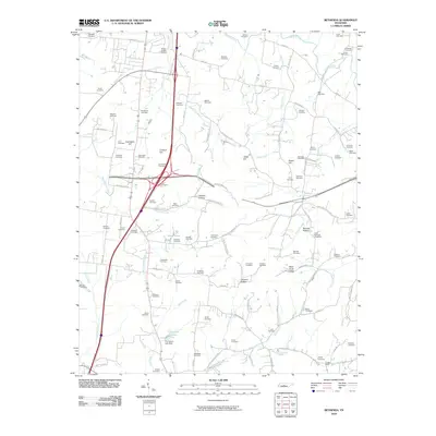 2010 Bethesda2010 Print · USGSThe rural landscape south of Franklin comes into focus in this modern era survey, detailing the dense network of family-named roads and cemeteries. Genealogists can trace family plots at Alexander Cemetery and Sprott Cemetery near the settlement of Cross Keys.
 - 2010 Map of Rally Hill, 2010 Print
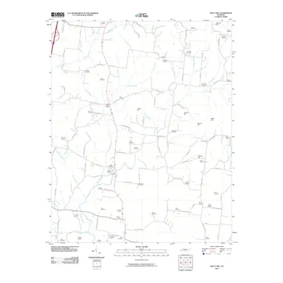 2010 Rally Hill2010 Print · USGSMiddle Tennessee’s rural character is preserved in this early 21st-century survey of the hills and hollows surrounding the Duck River. Genealogists can trace family heritage through dozens of documented burial sites, from Hurts Cross Roads to Shires Cemetery and the Riley-Harper Cemetery.
 - 2010 Map of Carters Creek, 2010 Print
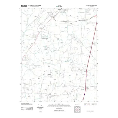 2010 Carters Creek2010 Print · USGSMaury County at the beginning of the twenty-first century reveals a landscape of enduring family legacies and agricultural research. Genealogists can trace decades of history through dozens of burial sites like Neapolis Cemetery and the Tennessee Orphans Home, or locate old industrial operations at Speed and Harmon Mine.
 - 2010 Map of Spring Hill, 2010 Print
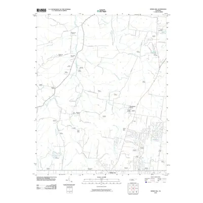 2010 Spring Hill2010 Print · USGSMid-Tennessee's rolling farmland and historic family settlements are captured here just as modern growth began to accelerate. Genealogists and local historians can locate dozens of family burial sites like Harrison Cemetery, the rail stop at Fedco Siding, and landmarks such as Thompson's Station.
 - 2013 Map of Carters Creek, 2013 Print
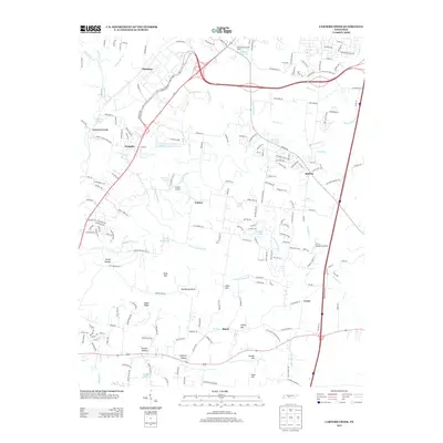 2013 Carters Creek2013 Print · USGSMaury County at the start of the 2010s reveals a landscape of institutional history and rolling terrain between Carters Creek and Lasea. Researchers can find local landmarks like the Tennessee Orphans Home, Hunter Airport, and the University of Tennessee Experimental Farm Lake.
 - 2013 Map of Spring Hill, 2013 Print
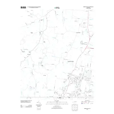 2013 Spring Hill2013 Print · USGSSpring Hill and Thompson's Station are shown here in the early twenty-first century as suburban growth reshapes the Williamson County landscape. Researchers can trace old family landmarks and rural settlements like Burwood, New Town, and Fedco Siding amidst the modern road network.
 - 2013 Map of Rally Hill, 2013 Print
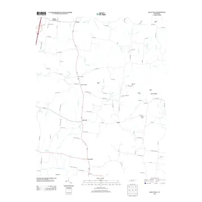 2013 Rally Hill2013 Print · USGSThe rural landscape south of Spring Hill is captured here in the early 21st century, showing a network of historic family-named roads and settlements. Researchers can trace local heritage through landmarks like Duplex Mission, the quiet community of Rally Hill, and numerous ancestral sites along Smith Cemetery Rd and Green Schoolhouse Rd.
 - 2013 Map of Bethesda, 2013 Print
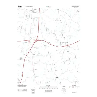 2013 Bethesda2013 Print · USGSWilliamson County in the early 2010s shows a mix of traditional crossroads and growing residential areas south of Franklin. Trace local lineage and land use through Bethesda, the winding Harpeth River, and named landmarks like Duck River Ridge or Jackson Hollow.
 - 2016 Map of Bethesda, 2016 Print
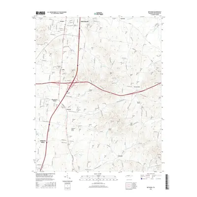 2016 Bethesda2016 Print · USGSSouthern Williamson County in the mid-2010s reveals a landscape of high ridges and family-centered history. Genealogists can trace decades of local heritage through dozens of named sites like Haleacre Cem, Peytonsville, and the Childress Cem.
 - 2016 Map of Rally Hill, 2016 Print
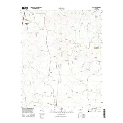 2016 Rally Hill2016 Print · USGSMid-Tennessee hill country is captured here in the mid-2010s at the intersection of three counties. Local historians can trace family roots through numerous burial grounds including Derryberry Cem and Crows Cem near the historic Rally Hill settlement.
 - 2016 Map of Carters Creek, 2016 Print
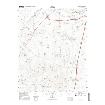 2016 Carters Creek2016 Print · USGSThe northern edge of Maury County comes into focus in this mid-2010s survey, showing the expansion of Spring Hill and Columbia. Genealogists and local historians can trace family roots through dozens of sites like Black Cem, Old Brick Church, and the University of Tennessee Experimental Farm Lake.
 - 2016 Map of Spring Hill, 2016 Print
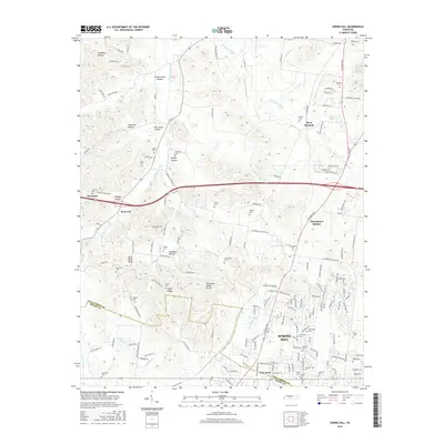 2016 Spring Hill2016 Print · USGSMidway through the 2010s, this portion of Middle Tennessee shows the growing footprint of Spring Hill and Thompson's Station as they expand along the historic rail and road corridors. Genealogists can trace dozens of family burial sites like Harrison Cem and Walton Cem tucked into the hollows of the Tennessee Valley Divide.
 - 2019 Map of Rally Hill, 2019 Print
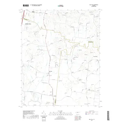 2019 Rally Hill2019 Print · USGSThe rural borders of Maury, Marshall, and Williamson counties come into focus during the late 2010s. Researchers can trace family history through dozens of local sites including Macedonia Cem, Rally Hill, and the Duplex Mission near Rutherford Cr.
 - 2019 Map of Carters Creek, 2019 Print
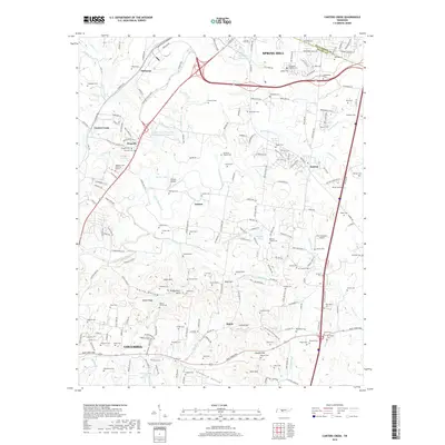 2019 Carters Creek2019 Print · USGSThe borderlands of Maury and Williamson counties are captured here in the contemporary era, showing the northward expansion of COLUMBIA toward SPRING HILL. Genealogists can locate numerous family burial grounds like Cheairs Cem and Sowell Cem or trace the geography of Rutherford Hills.
 - 2019 Map of Bethesda, 2019 Print
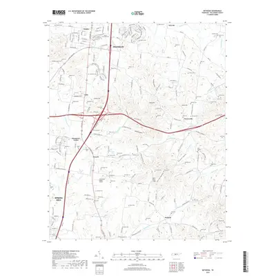 2019 Bethesda2019 Print · USGSSouthern Williamson County appears here in the late 2010s, showcasing the traditional crossroads communities south of Franklin. Genealogists and local historians can trace hundreds of family-named landmarks and cemeteries, including Gosey Cem, Beal Cem, and Peytonsville.
 - 2019 Map of Spring Hill, 2019 Print
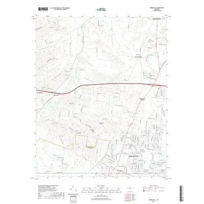 2019 Spring Hill2019 Print · USGSSpring Hill and Thompson's Station are shown in this 2019 survey, where modern growth meets deep-rooted Tennessee history. Genealogists can trace family landmarks and burial sites like Harrison Cem, Barker Cem, and Walton Cem near the W Harpeth River.
 - 2022 Map of Bethesda, 2022 Print
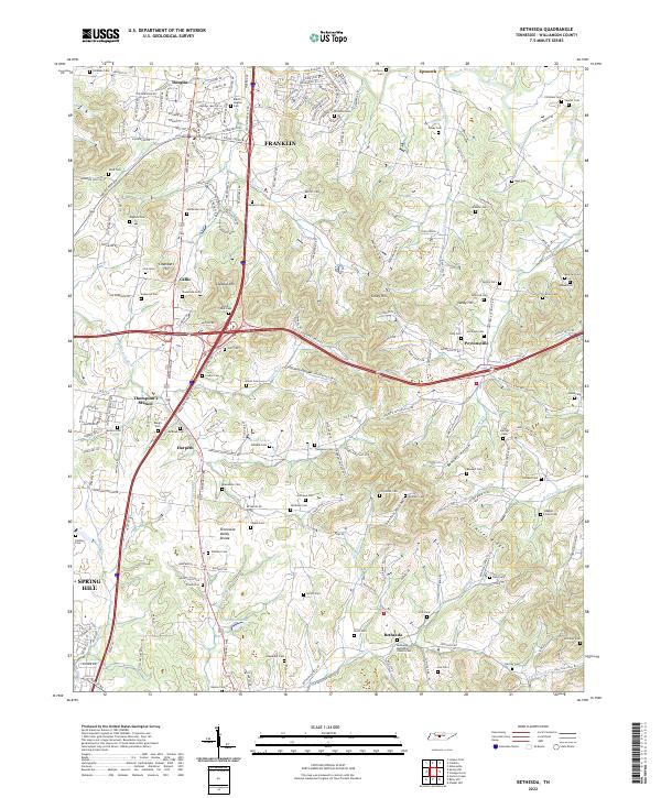 2022 Bethesda2022 Print · USGSThe rolling hills of Williamson County south of Franklin are home to historic crossroads and numerous family burial sites. Genealogists and historians can trace the landscape around Thompson's Station and Bethesda, locating sites like the Bethesda Methodist Church Cem and Gosey Hill.
 - 2022 Map of Rally Hill, 2022 Print
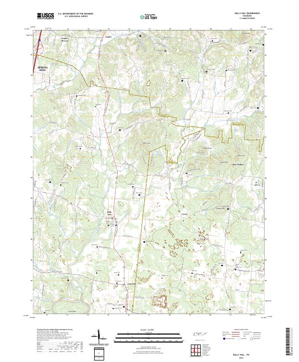 2022 Rally Hill2022 Print · USGSThe Tennessee countryside south of Spring Hill is captured here during its modern development while still preserving dozens of family landmarks. Genealogists can trace family burial sites like Moses Family Cem and Smithson Cem or locate old community centers at Rally Hill and Pottsville.
 - 2022 Map of Carters Creek, 2022 Print
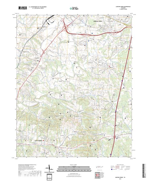 2022 Carters Creek2022 Print · USGSThe northern edge of Maury County comes into focus in this contemporary survey of the lands between Spring Hill and COLUMBIA. Genealogists can trace family names across Old Brick Church Cem, Aiken Ridge, and the University of Tennessee Experimental Farm Lake.
 - 2022 Map of Spring Hill, 2022 Print
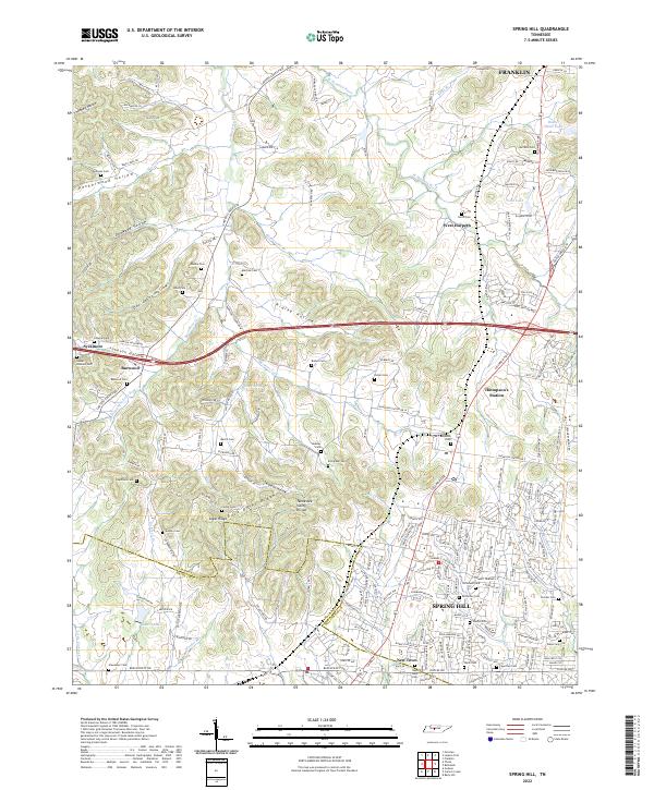 2022 Spring Hill2022 Print · USGSSpring Hill and Thompson's Station are shown during a period of modern growth in this Tennessee landscape. Researchers can trace family history through numerous burial sites like Harrison Cem and Beasley Cem, or explore the terrain of Peckerwood Hollow.
End of results
Showing maps 1-20 of 20
Top cities near Spring Hill
- Franklin historical maps
- Brentwood historical maps
- Columbia historical maps
- Fairview historical maps
- Mount Pleasant historical maps
- Thompson's Station historical maps
See more
Frequently asked questions
- What are the different types of historical maps available for Spring Hill?
- What is the oldest map of Spring Hill?
- Where can I purchase historical maps of Spring Hill for my home or office?
- Where can I download high-res historical maps of Spring Hill?
- Are there historical topographic maps available for Spring Hill?
- Is there historical aerial imagery available for Spring Hill?
- Where are historical maps of Spring Hill sourced from?