Old Maps of Culvahouse, Tennessee for Genealogy
Trace your family roots with 14 historic maps of Culvahouse. These high-res maps reveal old neighborhoods, homesites, landmarks, and streets — helping you uncover where your ancestors lived and how the area evolved over time.
- Explore historic neighborhoods: Identify where your relatives may have lived in the 1800s or 1900s.
- Compare maps over time: Trace the changes in streets, buildings, and landmarks for multi-generational research.
- Perfect for genealogy & ancestry research: Used by family historians and researchers to map out lineage and migration.
These maps are an incredible resource for exploring your personal connection to Culvahouse's past.
Culvahouse, TN maps
(14)- 1887 Map of Kingston
 1887 Kingston1887 Print · USGSCovers Culvahouse, including Athens, Crossville, and other nearby areas
 - 1891 Map of Kingston
 1891 Kingston1891 Print · USGSCovers Culvahouse, including Athens, Crossville, and other nearby areas2 unique versions available
 - 1893 Map of Kingston, 1905 Print
 1893 Kingston1905 Print · USGSCovers Culvahouse, including Athens, Crossville, and other nearby areas5 unique versions available
 - 1936 Map of Ten Mile
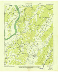 1936 Ten Mile1936 Print · USGSCovers Culvahouse, including Watts Bar Estates, Maple Grove, and other nearby areas
 - 1940 Map of Ten Mile
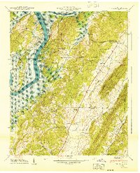 1940 Ten Mile1940 Print · USGSCovers Culvahouse, including Watts Bar Estates, Maple Grove, and other nearby areas
 - 1952 Map of Ten Mile, 1954 Print
 1952 Ten Mile1954 Print · USGSCovers Culvahouse, including Watts Bar Estates, Maple Grove, and other nearby areas
 - 1953 Map of Chattanooga
 1953 Chattanooga1953 Print · USGSCovers Culvahouse, including Knoxville, Chattanooga, and other nearby areas
 - 1957 Map of Chattanooga, 1966 Print
 1957 Chattanooga1966 Print · USGSCovers Culvahouse, including Knoxville, Chattanooga, and other nearby areas3 unique versions available
 - 1959 Map of Chattanooga
 1959 Chattanooga1959 Print · USGSCovers Culvahouse, including Knoxville, Chattanooga, and other nearby areas
 - 1960 Map of Chattanooga
 1960 Chattanooga1960 Print · USGSCovers Culvahouse, including Knoxville, Chattanooga, and other nearby areas
 - 1964 Map of Chattanooga
 1964 Chattanooga1964 Print · USGSCovers Culvahouse, including Knoxville, Chattanooga, and other nearby areas
 - 1973 Map of Ten Mile, 1975 Print
 1973 Ten Mile1975 Print · USGSCovers Culvahouse, including Watts Bar Estates, Maple Grove, and other nearby areas2 unique versions available
 - 1981 Map of Watts Bar Lake, 1984 Print
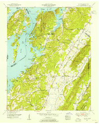
 1981 Watts Bar Lake1984 Print · USGSCovers Culvahouse, including Knoxville, Maryville, and other nearby areas2 unique versions available
 - 2022 Map of Ten Mile, 2022 Print
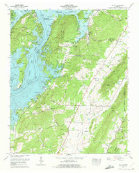
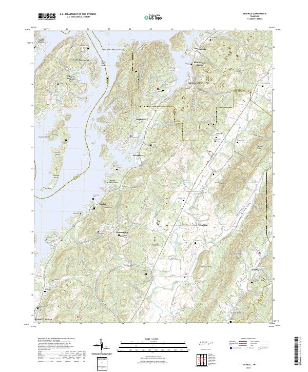 2022 Ten Mile2022 Print · USGSCovers Culvahouse, including Half Moon Shores, Eden of the Lake, and other nearby areas
End of results
Showing maps 1-14 of 14
Top cities near Culvahouse
- Athens historical maps
- Kingston historical maps
- Harriman historical maps
- Sweetwater historical maps
- Rockwood historical maps
- Spring City historical maps
See more
Frequently asked questions
- What are the different types of historical maps available for Culvahouse?
- What is the oldest map of Culvahouse?
- Where can I purchase historical maps of Culvahouse for my home or office?
- Where can I download high-res historical maps of Culvahouse?
- Are there historical topographic maps available for Culvahouse?
- Is there historical aerial imagery available for Culvahouse?
- Where are historical maps of Culvahouse sourced from?