Old Maps of Mount Herman, Lynchburg
Explore 11 old maps of Mount Herman, spanning from 1936 to today. These high-resolution historic maps reveal how streets, neighborhoods, landmarks, and natural features evolved over time — perfect for genealogy, metal detecting, research, and local history exploration.
What you can do with these maps:
- See how Mount Herman changed over time: Compare historical maps to modern-day views to trace roads, homesites, rail lines & more.
- View detailed metadata: Each map includes creators, publishers, year, scale, and archive source.
- Overlay maps with satellite & LiDAR: Visualize the past alongside modern tools to explore terrain & human change.
- Trusted historical sources: Maps sourced from the USGS, Library of Congress, and other archives.
- Access maps your way: View online, download high-res files, or order prints for personal or research use.
Start exploring old maps of Mount Herman to uncover forgotten places, hidden landmarks, and the deep history beneath your feet.
Mount Herman, Lynchburg maps
(11)- 1936 Map of Booneville
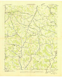 1936 Booneville1936 Print · USGSThe rural borderlands of Moore, Lincoln, and Bedford counties are captured here in the mid-1930s during a period of steady local development. Researchers can pinpoint early community hubs like Screamersville, Charity Sch, and the river crossing at Booneville.
 - 1944 Map of Shelbyville
 1944 Shelbyville1944 Print · USGSMid-century Middle Tennessee is captured here during the wartime mobilization of the 1940s. Genealogists and researchers can trace family lands near Bugscuffle, Shelbyville Mills, and the expansive Camp Forrest Military Res.
 - 1949 Map of Booneville, 1974 Print
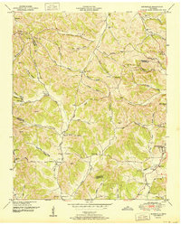
 1949 Booneville1974 Print · USGSMoore County and the surrounding ridges come to life in this mid-century survey of the region around the Lynchburg distillery country. Genealogists can trace family footprints across dozens of named hollows and remote burial sites like Shoffner Cem and Cox Cem.2 unique versions available
 - 1951 Map of Booneville
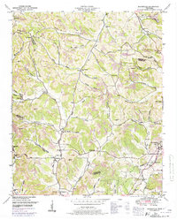
 1951 Booneville1951 Print · USGSMoore County and the hollows surrounding Lynchburg are captured in the early fifties before modern development reshaped these Highland Rim communities. Researchers can trace family homesteads near Booneville, the Motlow Cem, and the Charity Sch West.2 unique versions available
 - 1956 Map of Columbia, 1960 Print
 1956 Columbia1960 Print · USGSMiddle Tennessee in the mid-fifties presents a landscape of established river towns and critical rail hubs before the arrival of the modern interstate system. Researchers can trace the routes of the Louisville and Nashville railroad or locate historic landmarks like Stones River National Military Park and the Tennessee National Wildlife Refuge.6 unique versions available
 - 1981 Map of Tullahoma, 1982 Print
 1981 Tullahoma1982 Print · USGSSouthern Tennessee enters the 1980s with a mix of aerospace technology and deep rural roots. Researchers can trace the L & N RR through Shelbyville and Fayetteville or locate family sites like Old Salem Cem and Blanton Chapel near the Cumberland Plateau.
 - 2010 Map of Lynchburg West, 2010 Print
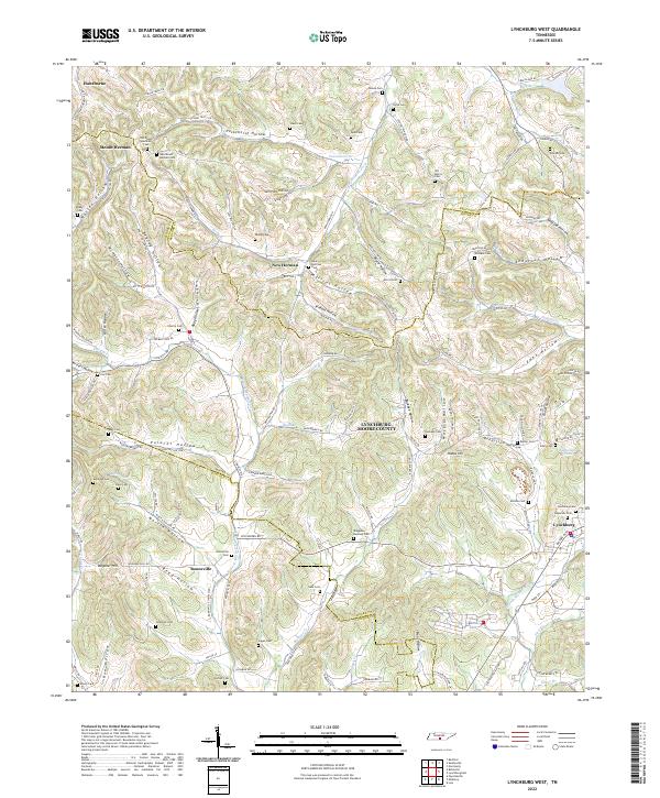
 2010 Lynchburg West2010 Print · USGSCovers Mount Herman, including Booneville, Hawthorne, and other nearby areas
 - 2013 Map of Lynchburg West, 2013 Print
 2013 Lynchburg West2013 Print · USGSCovers Mount Herman, including Booneville, Hawthorne, and other nearby areas
 - 2016 Map of Lynchburg West, 2016 Print
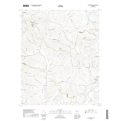
 2016 Lynchburg West2016 Print · USGSCovers Mount Herman, including Booneville, Hawthorne, and other nearby areas
 - 2019 Map of Lynchburg West, 2019 Print
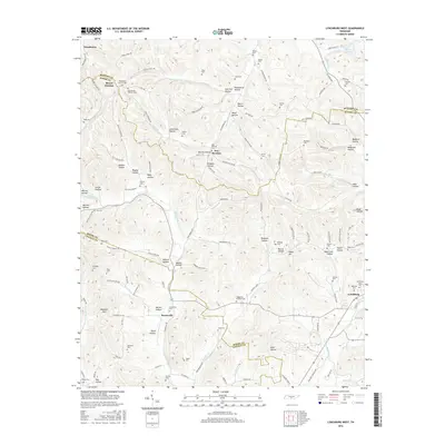
 2019 Lynchburg West2019 Print · USGSCovers Mount Herman, including Booneville, Hawthorne, and other nearby areas
 - 2022 Map of Lynchburg West, 2022 Print
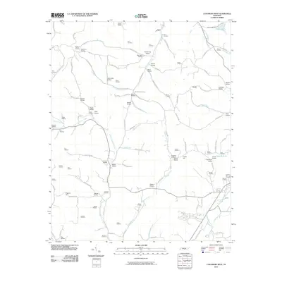
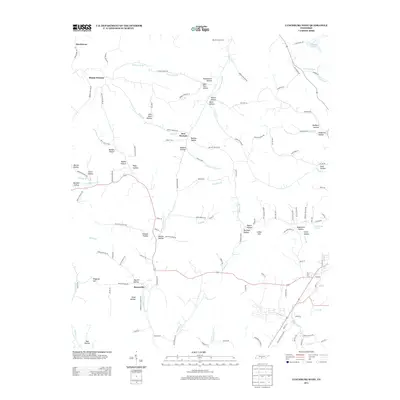
 2022 Lynchburg West2022 Print · USGSMoore County's rugged terrain comes into focus in this contemporary survey of the communities surrounding Lynchburg. Researchers can trace ancestral roots through dozens of family burial grounds including Old Mount Herman Cem, Parker Cem, and Shofner Cem tucked away in local hollows.
End of results
Showing maps 1-11 of 11
Top cities near Mount Herman
- Shelbyville historical maps
- Tullahoma historical maps
- Fayetteville historical maps
- Petersburg historical maps
- Wartrace historical maps
- Bell Buckle historical maps
See more
Frequently asked questions
- What are the different types of historical maps available for Mount Herman?
- What is the oldest map of Mount Herman?
- Where can I purchase historical maps of Mount Herman for my home or office?
- Where can I download high-res historical maps of Mount Herman?
- Are there historical topographic maps available for Mount Herman?
- Is there historical aerial imagery available for Mount Herman?
- Where are historical maps of Mount Herman sourced from?