Old Maps of Wartrace, Tennessee
Explore 11 old maps of Wartrace, spanning from 1936 to today. These high-resolution historic maps reveal how streets, neighborhoods, landmarks, and natural features evolved over time — perfect for genealogy, metal detecting, research, and local history exploration.
What you can do with these maps:
- See how Wartrace changed over time: Compare historical maps to modern-day views to trace roads, homesites, rail lines & more.
- View detailed metadata: Each map includes creators, publishers, year, scale, and archive source.
- Overlay maps with satellite & LiDAR: Visualize the past alongside modern tools to explore terrain & human change.
- Trusted historical sources: Maps sourced from the USGS, Library of Congress, and other archives.
- Access maps your way: View online, download high-res files, or order prints for personal or research use.
Start exploring old maps of Wartrace to uncover forgotten places, hidden landmarks, and the deep history beneath your feet.
Wartrace, TN maps
(11)- 1936 Map of Wartrace
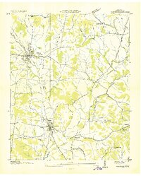 1936 Wartrace1936 Print · USGSMid-1930s Bedford County comes to life as a network of rail and river, centered on the bustling depots at Bell Buckle and Wartrace. Genealogists and historians can trace family ties at Webb Sch, Hollywood Cem, and rural outposts like Bugscuffle.
 - 1944 Map of Shelbyville
 1944 Shelbyville1944 Print · USGSMid-century Middle Tennessee is captured here during the wartime mobilization of the 1940s. Genealogists and researchers can trace family lands near Bugscuffle, Shelbyville Mills, and the expansive Camp Forrest Military Res.
 - 1949 Map of Wartrace, 1974 Print
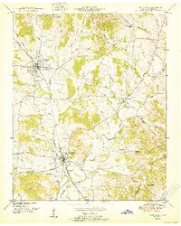
 1949 Wartrace1974 Print · USGSThe rail crossroads of Middle Tennessee are captured here as the postwar era begins. Genealogists can trace family heritage through sites like Webb School, Bethsalem Cem, and the small community of Kellertown.2 unique versions available
 - 1951 Map of Wartrace
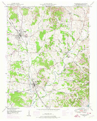
 1951 Wartrace1951 Print · USGSMid-century Bedford County comes to life around the railroad towns of Bell Buckle and Wartrace. Genealogists and local historians can trace family locations through numerous rural landmarks like the Webb School, New Hope Church, and Old Salem Cem.
 - 1956 Map of Columbia, 1960 Print
 1956 Columbia1960 Print · USGSMiddle Tennessee in the mid-fifties presents a landscape of established river towns and critical rail hubs before the arrival of the modern interstate system. Researchers can trace the routes of the Louisville and Nashville railroad or locate historic landmarks like Stones River National Military Park and the Tennessee National Wildlife Refuge.6 unique versions available
 - 1985 Map of Murfreesboro, 1986 Print
 1985 Murfreesboro1986 Print · USGSMiddle Tennessee in the mid-1980s shows a landscape of growing towns and deep-rooted rural outposts. Local researchers can trace old family lines near Bell Buckle, locate landmarks like Donnel Chapel, or explore the grounds of Henry Horton State Park and Hoovers Gap.
 - 2010 Map of Wartrace, 2010 Print
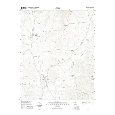
 2010 Wartrace2010 Print · USGSCovers Wartrace, including Bell Buckle, Fairfield, and other nearby areas
 - 2014 Map of Wartrace, 2014 Print
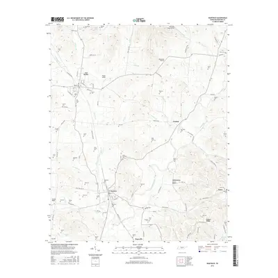
 2014 Wartrace2014 Print · USGSCovers Wartrace, including Bell Buckle, Fairfield, and other nearby areas
 - 2016 Map of Wartrace, 2016 Print
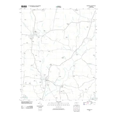
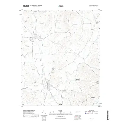
 2016 Wartrace2016 Print · USGSCovers Wartrace, including Bell Buckle, Fairfield, and other nearby areas
 - 2019 Map of Wartrace, 2019 Print
 2019 Wartrace2019 Print · USGSCovers Wartrace, including Bell Buckle, Fairfield, and other nearby areas
 - 2022 Map of Wartrace, 2022 Print
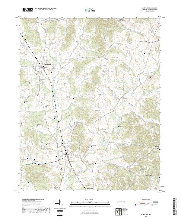 2022 Wartrace2022 Print · USGSThe Tennessee communities of Wartrace and Bell Buckle are captured here in the 2020s, showing a landscape shaped by the CSX Transportation rail line. Genealogists can trace dozens of family burial sites, from the Hazel Cem to the remote Bates - Finch - Muse Cem near Fairfield.
End of results
Showing maps 1-11 of 11
Top cities near Wartrace
- Shelbyville historical maps
- Tullahoma historical maps
- Manchester historical maps
- Estill Springs historical maps
- Bell Buckle historical maps
- Normandy historical maps
Frequently asked questions
- What are the different types of historical maps available for Wartrace?
- What is the oldest map of Wartrace?
- Where can I purchase historical maps of Wartrace for my home or office?
- Where can I download high-res historical maps of Wartrace?
- Are there historical topographic maps available for Wartrace?
- Is there historical aerial imagery available for Wartrace?
- Where are historical maps of Wartrace sourced from?