Old Maps of Estill Springs, Tennessee
Explore 38 old maps of Estill Springs, spanning from 1928 to today. These high-resolution historic maps reveal how streets, neighborhoods, landmarks, and natural features evolved over time — perfect for genealogy, metal detecting, research, and local history exploration.
What you can do with these maps:
- See how Estill Springs changed over time: Compare historical maps to modern-day views to trace roads, homesites, rail lines & more.
- View detailed metadata: Each map includes creators, publishers, year, scale, and archive source.
- Overlay maps with satellite & LiDAR: Visualize the past alongside modern tools to explore terrain & human change.
- Trusted historical sources: Maps sourced from the USGS, Library of Congress, and other archives.
- Access maps your way: View online, download high-res files, or order prints for personal or research use.
Start exploring old maps of Estill Springs to uncover forgotten places, hidden landmarks, and the deep history beneath your feet.
Estill Springs, TN maps
(38)- 1928 Map of Decherd
 1928 Decherd1928 Print · USGSFranklin County in the late twenties shows a landscape defined by the rise of the Cumberland Mountains and the busy lines of the Nashville Chattanooga and St Louis Railway. Genealogists can locate family landmarks in Motlow Cove or trace students at Peabody Sch and Hatchett Sch.3 unique versions available
 - 1936 Map of Winchester
 1936 Winchester1936 Print · USGSFranklin County's rail-connected towns of Winchester and Decherd are shown here in the mid-1930s as they transition during the TVA era. Genealogists can trace numerous local landmarks including Pig Trot Sch, Owen Chapel, and the Mc Illhearn Cem.
 - 1936 Map of Belvidere
 1936 Belvidere1936 Print · USGSFranklin County's rural landscape is captured here in the mid-1930s as a network of river-bottom farms and small rail towns. Genealogists can locate family landmarks like Sorrick Cem, Owl Hollow Mill, and the Winchester Springs Sch along the river.
 - 1936 Map of Camp Peay
 1936 Camp Peay1936 Print · USGSIn the mid-1930s, the area around Tullahoma and Estill Springs was a hub of military and rail activity. Genealogists and historians can trace the National Guard Reservation at Camp Peay, family burial sites like Maplewood Cem, and local landmarks including the Girls Vocational Sch.
 - 1936 Map of Capitol Hill
 1936 Capitol Hill1936 Print · USGSThe Tennessee Valley during the mid-1930s shows a landscape of river-dependent industry and small rural crossroads. Genealogists can trace family roots through landmarks like Knight Ch, Call Sch, and the riverside operations at Dixon Mill.
 - 1941 Map of Capitol Hill, 1942 Print
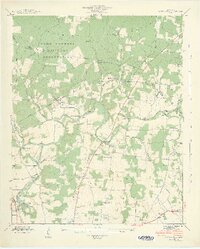 1941 Capitol Hill1942 Print · USGSFranklin County at the start of the war shows a landscape transitioning between rural life and military expansion. Genealogists can trace family roots through Capitol Hill, Paynes, and Buncombe, or locate landmarks like the Estill Springs Power Plant.3 unique versions available
 - 1941 Map of Camp Forrest, 1943 Print
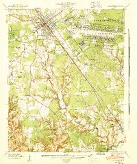 1941 Camp Forrest1943 Print · USGSThe Tennessee mobilization of the early 1940s is on full display as the Camp Forrest Military Reservation rises near Tullahoma. Genealogists and historians can trace family-named sites like Holt Cem and Pylant Springs before the landscape was fully altered by military expansion.2 unique versions available
 - 1943 Map of Mc Minnville, 1944 Print
 1943 Mc Minnville1944 Print · USGSMid-Tennessee is captured here during the mobilization of the early 1940s, showing the vast Camp Forrest Military Reservation and thriving rail towns. Trace the N C & ST L line through Mcminnville or locate smaller rural hubs like Morrison and Hickerson Station.
 - 1947 Map of Winchester, 1948 Print
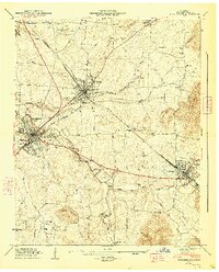 1947 Winchester1948 Print · USGSFranklin County in the late 1940s is captured at a point of industrial and municipal expansion along the Nashville Chattanooga and St Louis railway. Researchers can trace family history through local landmarks like Cedar Bluff Mill, the County Fairgrounds, and numerous cemeteries including Mt Garner Cem.3 unique versions available
 - 1947 Map of Belvidere, 1948 Print
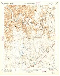 1947 Belvidere1948 Print · USGSFranklin County's rural landscape is captured here in the late 1940s, just as the river valley and rail networks supported a series of small, thriving communities. Genealogists can trace family names at Owl Hollow Mill, Winchester Springs, and the Franklin Cem.4 unique versions available
 - 1956 Map of Columbia, 1960 Print
 1956 Columbia1960 Print · USGSMiddle Tennessee in the mid-fifties presents a landscape of established river towns and critical rail hubs before the arrival of the modern interstate system. Researchers can trace the routes of the Louisville and Nashville railroad or locate historic landmarks like Stones River National Military Park and the Tennessee National Wildlife Refuge.6 unique versions available
 - 1962 Map of Capitol Hill, 1964 Print
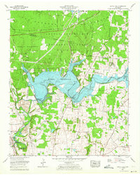 1962 Capitol Hill1964 Print · USGSFranklin and Coffee counties are shown here in the early sixties as military engineering and lake recreation transformed the Elk River valley. Trace the impact of the Woods Reservoir on local landmarks like Morris Ferry Bridge and the Arnold Engineering Development Center.
 - 1962 Map of Tullahoma, 1965 Print
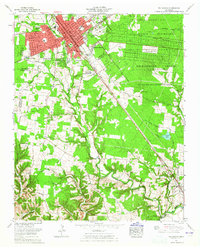 1962 Tullahoma1965 Print · USGSTullahoma and Estill Springs are captured in the early sixties during a period of significant military and aerospace activity. Researchers can trace the sprawling Arnold Engineering Development Center or find family landmarks like Oakwood Cem and East Lincoln Sch.
 - 1971 Map of Winchester, 1973 Print
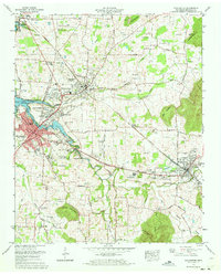 1971 Winchester1973 Print · USGSFranklin County at the start of the seventies reveals a landscape transformed by the new Tims Ford Lake and steady town growth. Trace the heritage of Winchester and Decherd through local landmarks like Cedar Bluff Mill, Owens Chapel, and the Louisville and Nashville rail lines.
 - 1972 Map of Tullahoma, 1973 Print
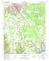 1972 Tullahoma1973 Print · USGSTullahoma and Estill Springs are captured here during the early seventies as the region balanced its railroad heritage with the growing aerospace presence of the Arnold Engineering Development Center. Local historians can trace the rising waters of Tims Ford Lake and locate old family burial sites like Gault Cem and Lasater Cem.5 unique versions available
 - 1972 Map of Belvidere, 1973 Print
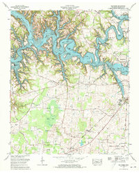 1972 Belvidere1973 Print · USGSFranklin County transitioned into a reservoir landscape in the early seventies as the Elk River valley was flooded. Genealogists can locate family names at Kaserman Cem or Hanley Cem and trace the old Louisville and Nashville rail corridor through Belvidere.2 unique versions available
 - 1972 Map of Capitol Hill, 1973 Print
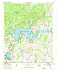 1972 Capitol Hill1973 Print · USGSFranklin and Coffee counties during the early 1970s reveal a unique mix of small-town life and high-tech research centers. Genealogists and local historians can locate family cemeteries like Beth Page Cem alongside the University of Tennessee Space Institute and the sprawling Woods Reservoir.4 unique versions available
 - 1981 Map of Tullahoma, 1982 Print
 1981 Tullahoma1982 Print · USGSSouthern Tennessee enters the 1980s with a mix of aerospace technology and deep rural roots. Researchers can trace the L & N RR through Shelbyville and Fayetteville or locate family sites like Old Salem Cem and Blanton Chapel near the Cumberland Plateau.
 - 2010 Map of Belvidere, 2010 Print
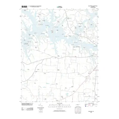 2010 Belvidere2010 Print · USGSFranklin County's shoreline and rural interior are captured here in the early twenty-first century, showing a landscape shaped by the waters of Murray Lake. Genealogists and local historians can locate dozens of small burial sites and landmarks including Kaserman Switch, Scivally-Green Cemetery, and the Belvidere Post Office.
 - 2010 Map of Winchester, 2010 Print
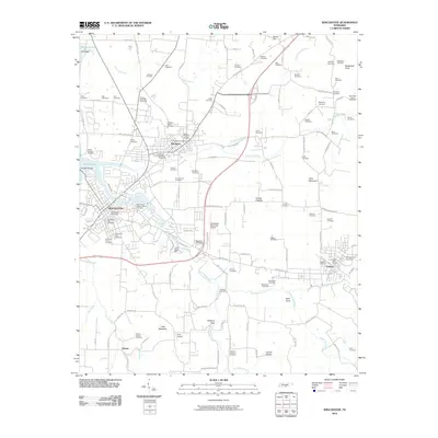 2010 Winchester2010 Print · USGSFranklin County communities are documented here in the early twenty-first century, centered on the historic rail corridor connecting Winchester and Cowan. Genealogists can trace family lineage through dozens of named sites like Mount Garner Cemetery and the Decherd Negro Cemetery.
 - 2010 Map of Tullahoma, 2010 Print
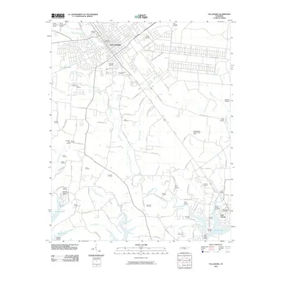 2010 Tullahoma2010 Print · USGSTullahoma and Estill Springs are captured in the early twenty-first century, showcasing a transition from rural farmland to expanding municipal centers. Researchers can locate dozens of burial grounds like Camp Forrest Cemetery and Mount Olivet Cemetery or trace the inlets of Murray Lake.
 - 2010 Map of Capitol Hill, 2010 Print
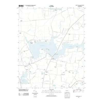 2010 Capitol Hill2010 Print · USGSFranklin County's landscape shows a unique mix of mid-century aerospace development and deep pioneer roots. Genealogists can trace family history through dozens of sites like Duncans Stagecoach Cemetery, Old Bethpage Cemetery, and Morris Ferry Bridge.
 - 2013 Map of Capitol Hill, 2013 Print
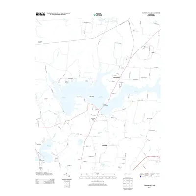 2013 Capitol Hill2013 Print · USGSFranklin County in the early twenty-first century is defined by its massive reservoirs and the sprawling grounds of Arnold Air Force Base. Trace local history through family settlements and sites like Capitol Hill, Duncantown, and Morris Ferry Bridge.
 - 2013 Map of Belvidere, 2013 Print
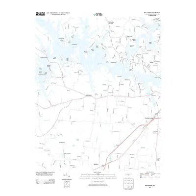 2013 Belvidere2013 Print · USGSFranklin County's landscape near Belvidere appears in the early twenty-first century as a mix of expansive reservoir shorelines and traditional crossroads. Researchers can locate long-standing landmarks like Mount Zion, Kissling Crossing, and the waters of Water Cure Springs.
 - 2013 Map of Tullahoma, 2013 Print
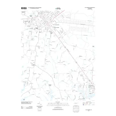 2013 Tullahoma2013 Print · USGSTullahoma and its neighboring communities are shown during a period of modern expansion and military presence. Researchers can trace local landmarks from Arnold Air Force Base to the shores of Tims Ford Lake and the quiet hamlet of Estill Springs.
Showing maps 1-25 of 38
Top cities near Estill Springs
- Tullahoma historical maps
- Manchester historical maps
- Winchester historical maps
- Sewanee historical maps
- Decherd historical maps
- Cowan historical maps
See more
Top neighborhoods of Estill Springs
- Taylor Creek East Subdivision historical maps
- Taylor Creek West Subdivision historical maps
- Elkins historical maps
Frequently asked questions
- What are the different types of historical maps available for Estill Springs?
- What is the oldest map of Estill Springs?
- Where can I purchase historical maps of Estill Springs for my home or office?
- Where can I download high-res historical maps of Estill Springs?
- Are there historical topographic maps available for Estill Springs?
- Is there historical aerial imagery available for Estill Springs?
- Where are historical maps of Estill Springs sourced from?