2000s (21st Century) Maps of Union Valley Center, Oak Ridge
Explore 10 historic maps of Union Valley Center from the 2000s (21st Century). These maps offer a rare glimpse into what life looked like during the 2000s — showing old roads, neighborhoods, homes, and landmarks that have changed or disappeared over time.
Whether you're researching your family's past, planning a metal detecting trip, or studying how Union Valley Center's landscape evolved across the 2000s, these high-resolution maps are a powerful tool for exploring the history of this region.
- Focus on a specific era: All maps on this page are from the 2000s, giving you a focused view of this time period.
- See what’s changed: Compare century-old streets, trails, and buildings to today's modern landscape using overlays and satellite layers.
- Research with precision: Use these maps for genealogy, historical research, land use analysis, or educational projects.
- View, download, or print: Maps are fully viewable online in high resolution, and can be downloaded or printed for your own records.
Start exploring Union Valley Center's history through authentic maps from the 2000s. This is your window into the past.
Union Valley Center, Oak Ridge maps
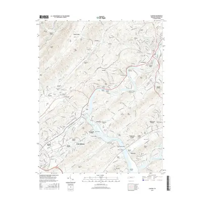
(10)- 2010 Map of Clinton, 2010 Print
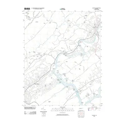 2010 Clinton2010 Print · USGSCovers Union Valley Center, including Oak Ridge, Clinton, and other nearby areas
 - 2010 Map of Lovell, 2010 Print
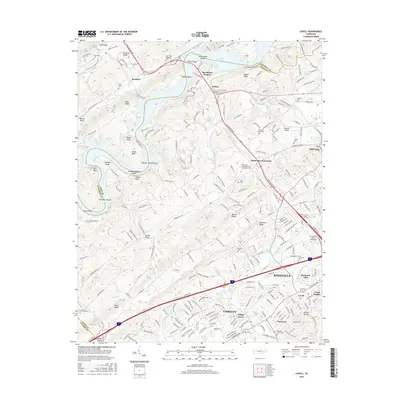
 2010 Lovell2010 Print · USGSCovers Union Valley Center, including Knoxville, Oak Ridge, and other nearby areas
 - 2013 Map of Clinton, 2013 Print
 2013 Clinton2013 Print · USGSCovers Union Valley Center, including Oak Ridge, Clinton, and other nearby areas
 - 2013 Map of Lovell, 2013 Print
 2013 Lovell2013 Print · USGSCovers Union Valley Center, including Knoxville, Oak Ridge, and other nearby areas
 - 2016 Map of Lovell, 2016 Print
 2016 Lovell2016 Print · USGSCovers Union Valley Center, including Knoxville, Oak Ridge, and other nearby areas
 - 2016 Map of Clinton, 2016 Print
 2016 Clinton2016 Print · USGSCovers Union Valley Center, including Oak Ridge, Clinton, and other nearby areas
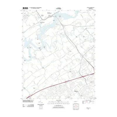
 - 2019 Map of Clinton, 2019 Print
 2019 Clinton2019 Print · USGSCovers Union Valley Center, including Oak Ridge, Clinton, and other nearby areas
 - 2019 Map of Lovell, 2019 Print
 2019 Lovell2019 Print · USGSCovers Union Valley Center, including Knoxville, Oak Ridge, and other nearby areas
 - 2022 Map of Lovell, 2022 Print
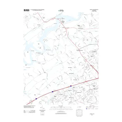
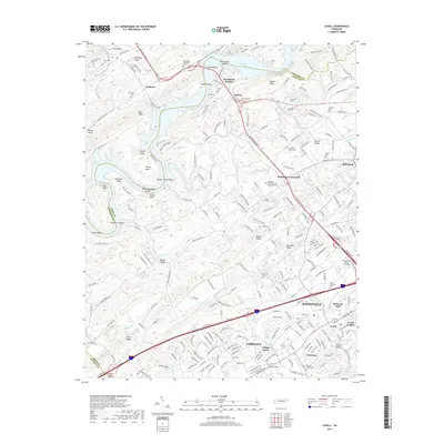
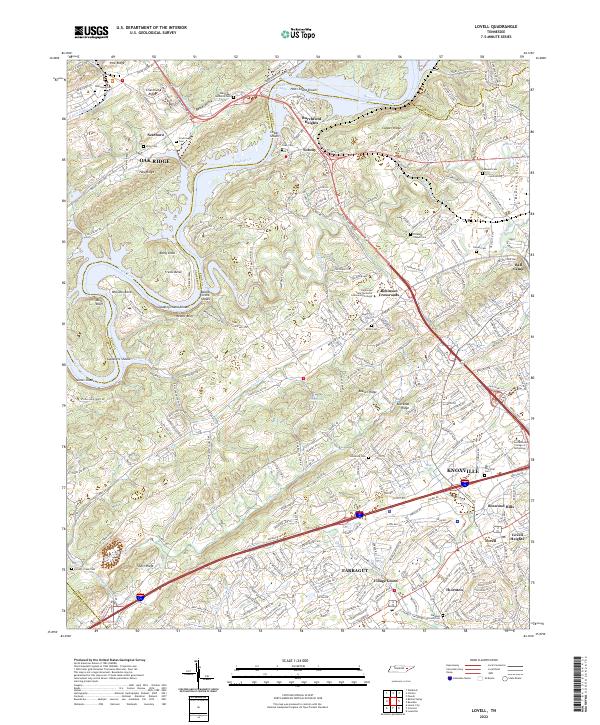 2022 Lovell2022 Print · USGSWestern Knox County appears here in the early twenty-first century, showing the transition from the ridges of Oak Ridge to the growing suburbs of Farragut. Researchers can locate several historic family and community burial grounds like Scarborough and Estes Cem, alongside old crossroads like Solway.
 - 2022 Map of Clinton, 2022 Print
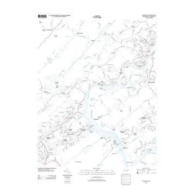
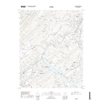
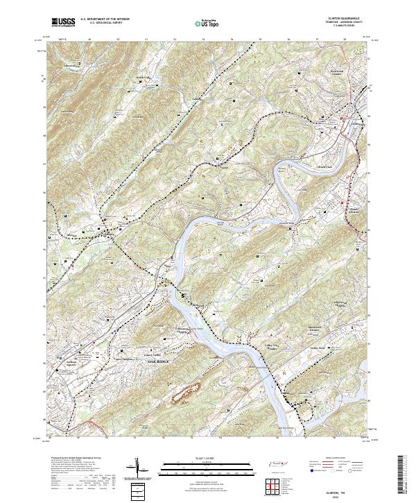 2022 Clinton2022 Print · USGSAnderson County at the start of the 2020s shows the enduring layout of river-valley settlements and the specialized urban planning of the atomic era. Genealogists can locate family burial sites like Slave Cem, Dale Cem, and the County Farm Cem near Kirkstall.
End of results
Showing maps 1-10 of 10
Frequently asked questions
- What are the different types of historical maps available for Union Valley Center?
- What is the oldest map of Union Valley Center?
- Where can I purchase historical maps of Union Valley Center for my home or office?
- Where can I download high-res historical maps of Union Valley Center?
- Are there historical topographic maps available for Union Valley Center?
- Is there historical aerial imagery available for Union Valley Center?
- Where are historical maps of Union Valley Center sourced from?