Old Maps of Johnstown, Smyrna for Genealogy
Trace your family roots with 10 historic maps of Johnstown. These high-res maps reveal old neighborhoods, homesites, landmarks, and streets — helping you uncover where your ancestors lived and how the area evolved over time.
- Explore historic neighborhoods: Identify where your relatives may have lived in the 1800s or 1900s.
- Compare maps over time: Trace the changes in streets, buildings, and landmarks for multi-generational research.
- Perfect for genealogy & ancestry research: Used by family historians and researchers to map out lineage and migration.
These maps are an incredible resource for exploring your personal connection to Johnstown's past.
Johnstown, Smyrna maps
(10)- 1942 Map of Lebanon, 1944 Print
 1942 Lebanon1944 Print · USGSMiddle Tennessee at the start of the war years reveals a landscape of historic homesteads and burgeoning military infrastructure. Genealogists and historians can trace family locations near The Hermitage, follow the Tennessee Central rail lines, or locate the newly established Smyrna Air Base.
 - 1956 Map of Columbia, 1960 Print
 1956 Columbia1960 Print · USGSMiddle Tennessee in the mid-fifties presents a landscape of established river towns and critical rail hubs before the arrival of the modern interstate system. Researchers can trace the routes of the Louisville and Nashville railroad or locate historic landmarks like Stones River National Military Park and the Tennessee National Wildlife Refuge.6 unique versions available
 - 1957 Map of Smyrna, 1958 Print
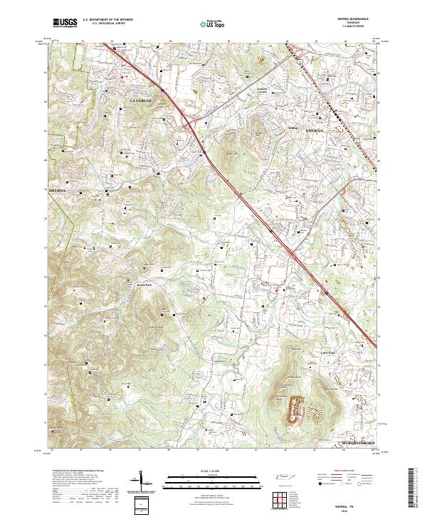
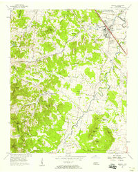 1957 Smyrna1958 Print · USGSSmyrna and northern Rutherford County are captured here in the late fifties as rural life met the expansion of the Sewart Air Force Base. Trace family landmarks like the Sam Davis Home, Rosenwald Sch, and the Mapleview Cem.4 unique versions available
 - 1985 Map of Murfreesboro, 1986 Print
 1985 Murfreesboro1986 Print · USGSMiddle Tennessee in the mid-1980s shows a landscape of growing towns and deep-rooted rural outposts. Local researchers can trace old family lines near Bell Buckle, locate landmarks like Donnel Chapel, or explore the grounds of Henry Horton State Park and Hoovers Gap.
 - 1998 Map of Smyrna, 1999 Print
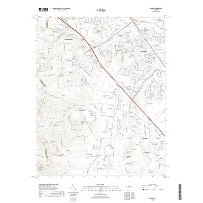
 1998 Smyrna1999 Print · USGSRutherford and Davidson counties are mapped here in the late nineties as regional growth begins to reshape the landscape. Genealogists and researchers can trace local family lineages through numerous small burial sites like Dewitt Smith Jobe Cem, Sanford Cem, and the Sam Davis Home Cem.
 - 2010 Map of Smyrna, 2010 Print
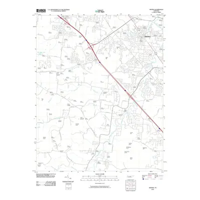 2010 Smyrna2010 Print · USGSCovers Johnstown, including Nashville, Murfreesboro, and other nearby areas
 - 2013 Map of Smyrna, 2013 Print
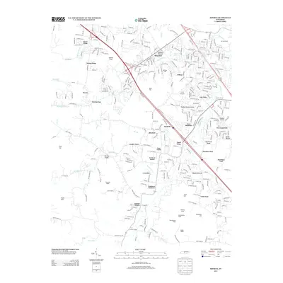 2013 Smyrna2013 Print · USGSCovers Johnstown, including Nashville, Murfreesboro, and other nearby areas
 - 2016 Map of Smyrna, 2016 Print
 2016 Smyrna2016 Print · USGSCovers Johnstown, including Nashville, Murfreesboro, and other nearby areas
 - 2019 Map of Smyrna, 2019 Print
 2019 Smyrna2019 Print · USGSCovers Johnstown, including Nashville, Murfreesboro, and other nearby areas
 - 2022 Map of Smyrna, 2022 Print
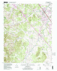
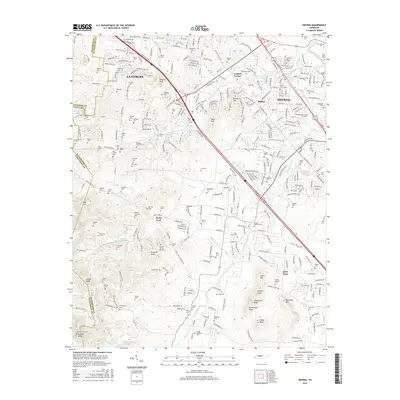
 2022 Smyrna2022 Print · USGSRutherford County in the early twenty-first century shows a fascinating blend of rapid development and preserved family history. Genealogists can trace ancestral sites like the Sam Davis Cem, Hill-Roulhac Cem, and the community of Rocky Fork.
End of results
Showing maps 1-10 of 10
Frequently asked questions
- What are the different types of historical maps available for Johnstown?
- What is the oldest map of Johnstown?
- Where can I purchase historical maps of Johnstown for my home or office?
- Where can I download high-res historical maps of Johnstown?
- Are there historical topographic maps available for Johnstown?
- Is there historical aerial imagery available for Johnstown?
- Where are historical maps of Johnstown sourced from?