Old Maps of Cooper-Young, Memphis for Metal Detecting
Plan your next treasure hunt with 12 historic maps of Cooper-Young. Find old homesites, ghost towns, trails, and gathering spots that may be lost to time — perfect for identifying promising metal detecting locations.
- Locate forgotten sites: Uncover places like long-lost settlements, abandoned rail lines, or gathering spots.
- Plan better hunts: Use map overlays combined with LiDAR or satellite views to narrow in on historically rich areas.
- Made for detectorists: Thousands of hobbyists use these maps to discover relics, coins, and hidden history.
Use these historic maps to boost your research and find new opportunities beneath the surface of Cooper-Young.
Cooper-Young, Memphis maps
(12)- 1956 Map of Blytheville, 1964 Print
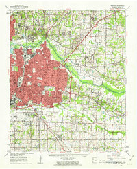
 1956 Blytheville1964 Print · USGSWest Tennessee and the Arkansas Delta come alive in this mid-century survey of the river-and-rail corridor connecting Memphis to Jackson. Genealogists and historians can trace the rail lines of the Louisville and Nashville RR and locate landmarks like Western State Hospital or Fort Pillow State Prison Farm.2 unique versions available
 - 1959 Map of Blytheville
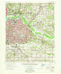
 1959 Blytheville1959 Print · USGSWest Tennessee and Northeast Arkansas meet along the river in the late fifties, during a period of steady industrial and agricultural growth. Genealogists can trace the rail corridors of the Illinois Central through Jackson or explore landmarks like Shiloh National Military Park and Fort Pillow State Prison.
 - 1960 Map of Bartlett, 1963 Print
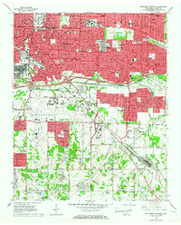
 1960 Bartlett1963 Print · USGSShelby County enters a period of intense suburban growth during the early sixties as development pushes east toward Bartlett and Germantown. Genealogists and local historians can locate dozens of country landmarks, from the National Cem and National Cem to the Capleville Ch & Sch.
 - 1961 Map of Bartlett
 1961 Bartlett1961 Print · USGSShelby County transitions from rural farmland to suburban expansion as Memphis grows eastward in the early sixties. Researchers can trace family sites at Spring Hill Ch & Sch, the historic National Cem, and the old rail stop at Mullins Station Ch.
 - 1965 Map of Southeast Memphis, 1967 Print
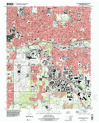
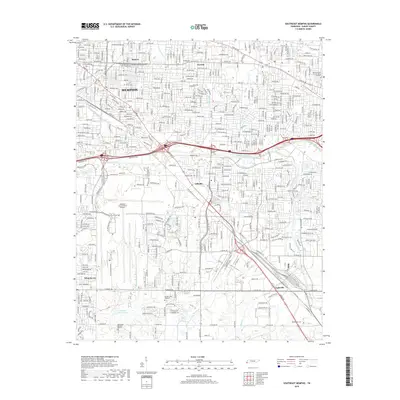
 1965 Southeast Memphis1967 Print · USGSMemphis and its southeastern suburbs were undergoing a period of rapid mid-century expansion when this survey was conducted. Local historians can trace the growth of Parkway Village, the operations of the Tennessee Yards, and find family landmarks like Bethlehem Cem.4 unique versions available
 - 1986 Map of Memphis East
 1986 Memphis East1986 Print · USGSWest Tennessee in the mid-eighties shows the meeting point of Memphis suburban growth and the deep bottomlands of the Hatchie River. Genealogists and historians can trace rail-town development along the Southern Railway and locate major landmarks like Ames Plantation and the U S Naval Air Station.2 unique versions available
 - 1997 Map of Southeast Memphis, 2000 Print
 1997 Southeast Memphis2000 Print · USGSSoutheast Memphis and the Capleville area are shown at a peak of late-century urban development, centered on major air and rail hubs. Genealogists and local historians can trace the growth of Parkway Village, locate the Memphis Hebrew Cem, or study the massive Tennessee Yards rail complex.
 - 2010 Map of Southeast Memphis, 2010 Print
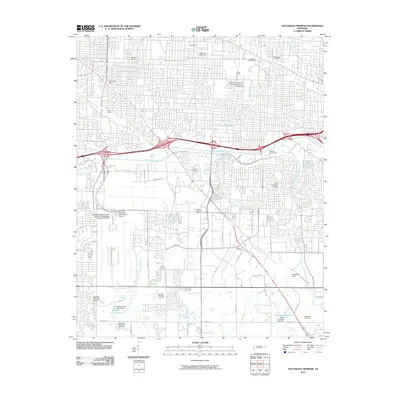 2010 Southeast Memphis2010 Print · USGSCovers Cooper-Young, including Memphis, Buntyn, and other nearby areas
 - 2013 Map of Southeast Memphis, 2013 Print
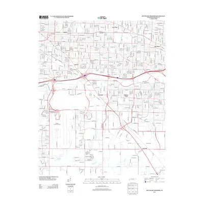 2013 Southeast Memphis2013 Print · USGSCovers Cooper-Young, including Memphis, Buntyn, and other nearby areas
 - 2016 Map of Southeast Memphis, 2016 Print
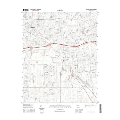 2016 Southeast Memphis2016 Print · USGSCovers Cooper-Young, including Memphis, Buntyn, and other nearby areas
 - 2019 Map of Southeast Memphis, 2019 Print
 2019 Southeast Memphis2019 Print · USGSCovers Cooper-Young, including Memphis, Buntyn, and other nearby areas
 - 2022 Map of Southeast Memphis, 2022 Print
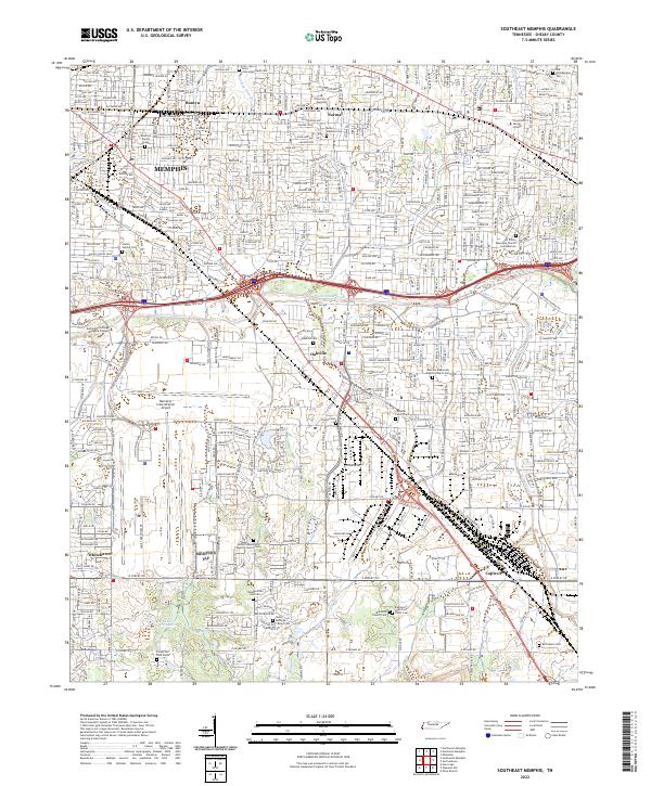 2022 Southeast Memphis2022 Print · USGSSoutheast Memphis and Shelby County are documented here in the early 2020s, showing the dense intersection of modern logistics and early settlement history. Researchers can find numerous small family burial sites like Deadrick Family Cem alongside the sprawling Memphis International Airport and BNSF Railway.
End of results
Showing maps 1-12 of 12
Frequently asked questions
- What are the different types of historical maps available for Cooper-Young?
- What is the oldest map of Cooper-Young?
- Where can I purchase historical maps of Cooper-Young for my home or office?
- Where can I download high-res historical maps of Cooper-Young?
- Are there historical topographic maps available for Cooper-Young?
- Is there historical aerial imagery available for Cooper-Young?
- Where are historical maps of Cooper-Young sourced from?