Old Maps of Bumpus Mills, Tennessee for Academic Research
Study the evolution of Bumpus Mills with 11 high-resolution historic maps. Whether you're teaching, researching, or modeling changes in land use, these maps provide essential visual documentation of urban, environmental, and geographic change.
- Analyze long-term change: Track patterns in development, transportation, and natural features.
- Ideal for environmental or urban studies: Support academic projects with primary historical map data.
- Use in the classroom or lab: Educators and researchers rely on these maps to bring historical context to life.
These maps are a powerful tool for teaching, research, and visualizing how Bumpus Mills has changed over the decades.
Bumpus Mills, TN maps
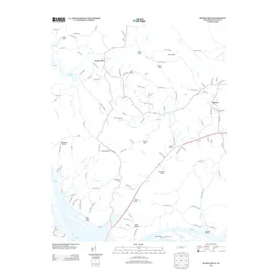
(11)- 1951 Map of Bumpus Mills, 1953 Print
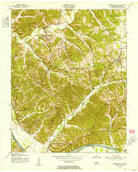 1951 Bumpus Mills1953 Print · USGSStewart County settlement patterns are frozen in time during the early fifties, from the banks of the river to the military boundary. Genealogists can trace family roots at Wallace Cem or locate vanished schools like Oak Hill Sch and Antioch Sch.
 - 1956 Map of Nashville, 1971 Print
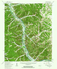
 1956 Nashville1971 Print · USGSThe Tennessee-Kentucky borderlands come into focus in the mid-1960s as major reservoir projects transformed the Cumberland and Tennessee river valleys. Researchers can trace the rail networks of the Louisville and Nashville and visit sites like Fort Campbell and Fort Donelson National Military Park.2 unique versions available
 - 1957 Map of Bumpus Mills, 1960 Print
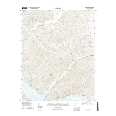
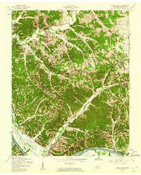 1957 Bumpus Mills1960 Print · USGSIn the late fifties, the Cumberland River valley was on the brink of change as the Lake Barkley project began. Genealogists can trace family landmarks like the Crow Cem, Hayes Fork Sch, and the riverside community of Dyers before the waters rose.3 unique versions available
 - 1957 Map of Model, 1963 Print
 1957 Model1963 Print · USGSThe Tennessee and Kentucky borderlands meet here in the late fifties as the Cumberland River valley prepares for the rising waters of Lake Barkley. Genealogists can trace family landmarks like the Gatlin Cem or explore the rural hubs of Bumpus Mills and Tobaccoport.
 - 1959 Map of Nashville
 1959 Nashville1959 Print · USGSMiddle Tennessee and Southern Kentucky come into focus during the late fifties, showing the region's transition into a modern transportation and military hub. Researchers can trace the sprawling Fort Campbell Military Reservation or locate historic rail stops along the Tennessee Central Ry and Illinois Central RR.
 - 1980 Map of Hopkinsville, 1983 Print
 1980 Hopkinsville1983 Print · USGSThe Kentucky and Tennessee borderlands appear here at the start of the 1980s, centered on the massive Fort Campbell Military Reservation. Trace the impact of the Cumberland River impoundment at Lake Barkley or locate rail hubs like Guthrie and Elkton.
 - 2010 Map of Bumpus Mills, 2010 Print
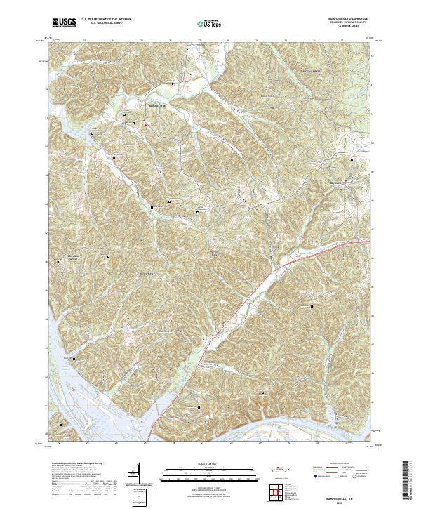
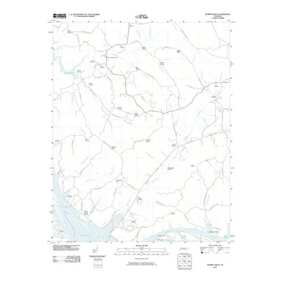 2010 Bumpus Mills2010 Print · USGSCovers Bumpus Mills, including New Haven, Big Rock, and other nearby areas
 - 2013 Map of Bumpus Mills, 2013 Print
 2013 Bumpus Mills2013 Print · USGSCovers Bumpus Mills, including New Haven, Big Rock, and other nearby areas
 - 2016 Map of Bumpus Mills, 2016 Print
 2016 Bumpus Mills2016 Print · USGSCovers Bumpus Mills, including New Haven, Big Rock, and other nearby areas
 - 2019 Map of Bumpus Mills, 2019 Print
 2019 Bumpus Mills2019 Print · USGSCovers Bumpus Mills, including New Haven, Big Rock, and other nearby areas
 - 2022 Map of Bumpus Mills, 2022 Print
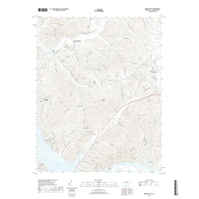
 2022 Bumpus Mills2022 Print · USGSStewart County, Tennessee, is mapped here in its modern context, showing a landscape defined by its river history and deep family ties. Researchers can trace numerous family burial grounds including Crow Cem, Balls Cem, and Lottie Wallace Cem across the ridges of Bumpus Mills.
End of results
Showing maps 1-11 of 11
Top cities near Bumpus Mills
Frequently asked questions
- What are the different types of historical maps available for Bumpus Mills?
- What is the oldest map of Bumpus Mills?
- Where can I purchase historical maps of Bumpus Mills for my home or office?
- Where can I download high-res historical maps of Bumpus Mills?
- Are there historical topographic maps available for Bumpus Mills?
- Is there historical aerial imagery available for Bumpus Mills?
- Where are historical maps of Bumpus Mills sourced from?