Old Maps of Lutts, Tennessee for Hiking & Exploration
Hike through history with 10 historic maps of Lutts. Explore old trails, ghost towns, and forgotten backroads — perfect for outdoor adventurers and local explorers.
- Rediscover forgotten places: Map out old mining camps, roads, and footpaths that no longer exist on modern maps.
- Layer with modern tools: Combine with LiDAR or satellite views to plan hikes through historical terrain.
- Made for exploration: Popular among hikers, overlanders, and local history lovers.
Use these maps to find adventure and explore the hidden past of Lutts.
Lutts, TN maps
(10)- 1905 Map of Waynesboro
 1905 Waynesboro1905 Print · USGSWayne County and the Tennessee-Alabama borderlands are captured here at the start of the century, showing a network of river landings and old stage stands. Researchers can trace the Nathez Trace and locate historic community hubs like Martins Mills, Whittens Stand, and Clifton.2 unique versions available
 - 1936 Map of Martins Mills
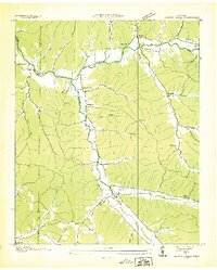 1936 Martins Mills1936 Print · USGSWayne County's rural landscape is captured here in the mid-1930s, showing a network of creeks and small settlements. Researchers can locate family landmarks like Mt Heber Cem, early schools such as Rayburn Sch, and the community of Lutts.
 - 1950 Map of Martins Mills, 1954 Print
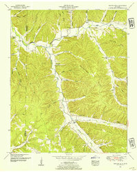 1950 Martins Mills1954 Print · USGSWayne County is shown here in the early postwar era, highlighting a landscape of ridge-top farms and valley hamlets. Researchers can trace ancestral roots at Martins Mills and Lutts, or locate rural landmarks like Pinhook School and Greeson Chapel.2 unique versions available
 - 1956 Map of Columbia, 1960 Print
 1956 Columbia1960 Print · USGSMiddle Tennessee in the mid-fifties presents a landscape of established river towns and critical rail hubs before the arrival of the modern interstate system. Researchers can trace the routes of the Louisville and Nashville railroad or locate historic landmarks like Stones River National Military Park and the Tennessee National Wildlife Refuge.6 unique versions available
 - 1985 Map of Lawrenceburg
 1985 Lawrenceburg1985 Print · USGSMiddle Tennessee and Northern Alabama are captured in the mid-1980s, showcasing a landscape of high ridges and winding river valleys. Genealogists and historians can trace rail lines like the Seaboard System Railroad or locate community landmarks such as Saint Marys Church and Three Churches.2 unique versions available
 - 2010 Map of Martins Mills, 2010 Print
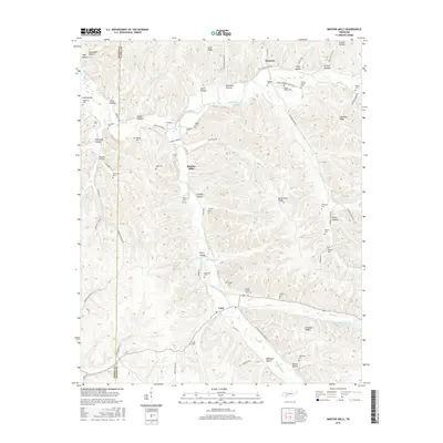
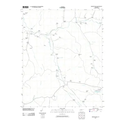 2010 Martins Mills2010 Print · USGSCovers Lutts, including Houston, Martins Mills, and other nearby areas
 - 2013 Map of Martins Mills, 2013 Print
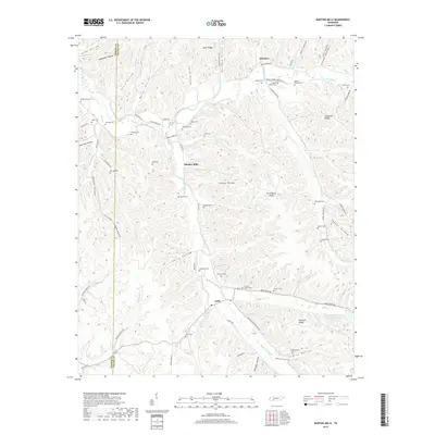
 2013 Martins Mills2013 Print · USGSCovers Lutts, including Houston, Martins Mills, and other nearby areas
 - 2016 Map of Martins Mills, 2016 Print
 2016 Martins Mills2016 Print · USGSCovers Lutts, including Houston, Martins Mills, and other nearby areas
 - 2019 Map of Martins Mills, 2019 Print
 2019 Martins Mills2019 Print · USGSCovers Lutts, including Houston, Martins Mills, and other nearby areas
 - 2022 Map of Martins Mills, 2022 Print
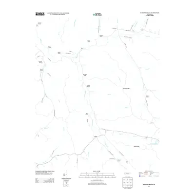
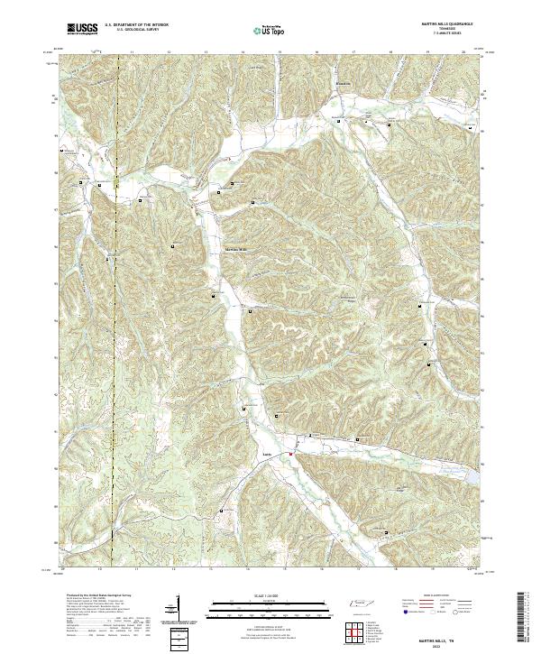 2022 Martins Mills2022 Print · USGSThe Tennessee borderlands of Wayne and Hardin Counties are captured here in a period of enduring rural character. Genealogists can trace family lines through dozens of remote sites like the Nowlin Family Cem, Greeson Chapel Cem, and the community of Lutts.
End of results
Showing maps 1-10 of 10
Top cities near Lutts
Frequently asked questions
- What are the different types of historical maps available for Lutts?
- What is the oldest map of Lutts?
- Where can I purchase historical maps of Lutts for my home or office?
- Where can I download high-res historical maps of Lutts?
- Are there historical topographic maps available for Lutts?
- Is there historical aerial imagery available for Lutts?
- Where are historical maps of Lutts sourced from?