Old Maps of Plateau, Texas
Explore 10 old maps of Plateau, spanning from 1906 to today. These high-resolution historic maps reveal how streets, neighborhoods, landmarks, and natural features evolved over time — perfect for genealogy, metal detecting, research, and local history exploration.
What you can do with these maps:
- See how Plateau changed over time: Compare historical maps to modern-day views to trace roads, homesites, rail lines & more.
- View detailed metadata: Each map includes creators, publishers, year, scale, and archive source.
- Overlay maps with satellite & LiDAR: Visualize the past alongside modern tools to explore terrain & human change.
- Trusted historical sources: Maps sourced from the USGS, Library of Congress, and other archives.
- Access maps your way: View online, download high-res files, or order prints for personal or research use.
Start exploring old maps of Plateau to uncover forgotten places, hidden landmarks, and the deep history beneath your feet.
Plateau, TX maps
(10)- 1906 Map of Van Horn
 1906 Van Horn1906 Print · USGSThe Trans-Pecos frontier is captured here at the turn of the century as the railroad and mining industry reshaped the high desert. Trace early family landholdings like Jones Ranch and Millican's Ranch, or locate historic operations like the Hazel Mine.5 unique versions available
 - 1954 Map of Van Horn, 1964 Print
 1954 Van Horn1964 Print · USGSThe Trans-Pecos region of West Texas comes into focus in the mid-1950s as a vital corridor of rail and desert commerce. Researchers can trace the path of the Texas and Pacific through Van Horn or locate remote rail sidings like Borracho and Laska Siding.2 unique versions available
 - 1958 Map of Van Horn
 1958 Van Horn1958 Print · USGSWest Texas ranching and rail history come alive in this 1950s survey of the Trans-Pecos desert during the era of major steam-to-diesel transition. Genealogists and historians can trace family-named outposts like Mayfield Ranch or locate the ruins of Presidio Viejo along the Rio Grande.
 - 1964 Map of Plateau, 1967 Print
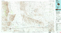
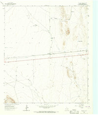 1964 Plateau1967 Print · USGSCulberson County's high desert landscape comes into focus during the mid-1960s, centered on the transit and ranching outpost of Plateau. Researchers can trace the path of the Texas and Pacific railroad and locate old water features like Plateau Tank and Sacaton Draw.2 unique versions available
 - 1985 Map of Van Horn
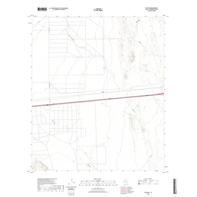
 1985 Van Horn1985 Print · USGSFar West Texas comes into focus in the mid-1980s as a high-desert crossroads for rail and ranching. Genealogists and historians can trace the Southern Pacific line through Van Horn, locate the settlement of Kent, and explore landmarks like Seven Heart Gap.3 unique versions available
 - 2010 Map of Plateau, 2010 Print
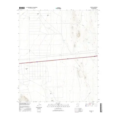
 2010 Plateau2010 Print · USGSCovers Plateau, including Culberson County, United States, and other nearby areas
 - 2012 Map of Plateau, 2012 Print
 2012 Plateau2012 Print · USGSCovers Plateau, including Culberson County, United States, and other nearby areas
 - 2016 Map of Plateau, 2016 Print
 2016 Plateau2016 Print · USGSCovers Plateau, including Culberson County, United States, and other nearby areas
 - 2019 Map of Plateau, 2019 Print
 2019 Plateau2019 Print · USGSCovers Plateau, including Culberson County, United States, and other nearby areas
 - 2022 Map of Plateau, 2022 Print
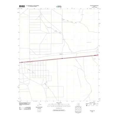
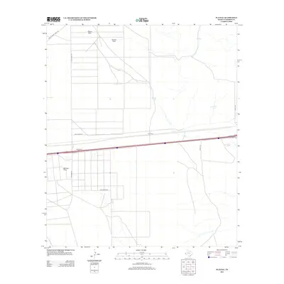
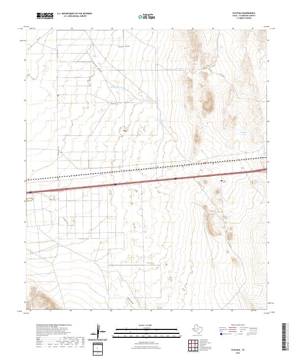 2022 Plateau2022 Print · USGSCulberson County in the modern era is captured here as a landscape of wide-open ranching terrain and critical transit corridors. Genealogists and historians can locate Feely Cem and trace essential water sources like Plateau Tank and Sacaton Draw.
End of results
Showing maps 1-10 of 10
Frequently asked questions
- What are the different types of historical maps available for Plateau?
- What is the oldest map of Plateau?
- Where can I purchase historical maps of Plateau for my home or office?
- Where can I download high-res historical maps of Plateau?
- Are there historical topographic maps available for Plateau?
- Is there historical aerial imagery available for Plateau?
- Where are historical maps of Plateau sourced from?