Old Maps of Branton, Texas
Explore 10 old maps of Branton, spanning from 1894 to today. These high-resolution historic maps reveal how streets, neighborhoods, landmarks, and natural features evolved over time — perfect for genealogy, metal detecting, research, and local history exploration.
What you can do with these maps:
- See how Branton changed over time: Compare historical maps to modern-day views to trace roads, homesites, rail lines & more.
- View detailed metadata: Each map includes creators, publishers, year, scale, and archive source.
- Overlay maps with satellite & LiDAR: Visualize the past alongside modern tools to explore terrain & human change.
- Trusted historical sources: Maps sourced from the USGS, Library of Congress, and other archives.
- Access maps your way: View online, download high-res files, or order prints for personal or research use.
Start exploring old maps of Branton to uncover forgotten places, hidden landmarks, and the deep history beneath your feet.
Branton, TX maps
(10)- 1894 Map of Eastland
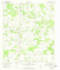
 1894 Eastland1894 Print · USGSEastland County and its neighbors are captured here in the late nineteenth century during the expansion of the rail-and-ranching economy. Researchers can locate early town sites like Desdimonia and Merriman or trace the Texas Central Railroad through Carbon.6 unique versions available
 - 1954 Map of Abilene, 1966 Print
 1954 Abilene1966 Print · USGSThe Texas Big Country comes into focus in the mid-1950s as petroleum and new water projects reshape the landscape. Local historians can trace the Butterfield Trail, find the Fort Phantom Hill Ruins, and locate numerous small communities along the Texas & Pacific line.2 unique versions available
 - 1958 Map of Abilene
 1958 Abilene1958 Print · USGSMid-century West Texas comes alive in this survey of the Abilene and Stephenville region during a period of steady oil expansion and military growth. Genealogists and local historians can trace the paths of the Texas & Pacific RR through historic towns, locate the Fort Griffin Ruins, and find smaller settlements like Desdemona and Lueders.
 - 1969 Map of Union Center, 1972 Print
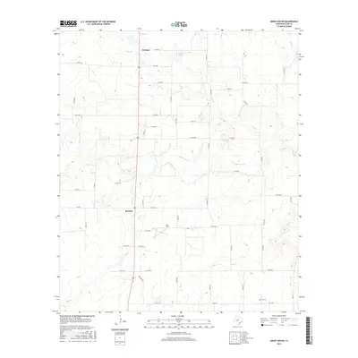
 1969 Union Center1972 Print · USGSEastland County in the late sixties reveals a landscape of quiet rural crossroads and rising energy development. Researchers can trace family sites near Okra, locate the Long Branch Ch, and see the path of the Sabana River through the heart of the county.2 unique versions available
 - 1985 Map of Stephenville
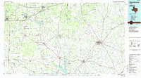 1985 Stephenville1985 Print · USGSNorth Central Texas in the mid-eighties shows a landscape defined by ranching, rail history, and early oil towns. Genealogists and historians can trace the paths of the Texas Central railroad and locate rural communities like Desdemona, Lingleville, and Punkin Center.2 unique versions available
 - 2010 Map of Union Center, 2010 Print
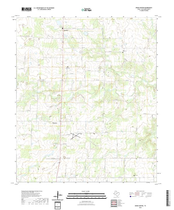
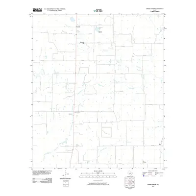 2010 Union Center2010 Print · USGSCovers Branton, including Romney, Mountain Top, and other nearby areas
 - 2012 Map of Union Center, 2012 Print
 2012 Union Center2012 Print · USGSCovers Branton, including Romney, Mountain Top, and other nearby areas
 - 2016 Map of Union Center, 2016 Print
 2016 Union Center2016 Print · USGSCovers Branton, including Romney, Mountain Top, and other nearby areas
 - 2019 Map of Union Center, 2019 Print
 2019 Union Center2019 Print · USGSCovers Branton, including Romney, Mountain Top, and other nearby areas
 - 2022 Map of Union Center, 2022 Print
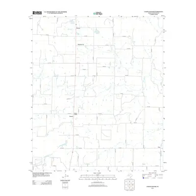
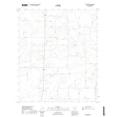
 2022 Union Center2022 Print · USGSEastland County ranch land and river bottoms are captured here in the early twenty-first century. Genealogists can trace family roots at Romney Lutheran Cem and Elm Cem or locate the quiet crossroads of Branton.
End of results
Showing maps 1-10 of 10
Top cities near Branton
- Eastland historical maps
- Cisco historical maps
- Cross Plains historical maps
- Rising Star historical maps
- Carbon historical maps
- Putnam historical maps
Frequently asked questions
- What are the different types of historical maps available for Branton?
- What is the oldest map of Branton?
- Where can I purchase historical maps of Branton for my home or office?
- Where can I download high-res historical maps of Branton?
- Are there historical topographic maps available for Branton?
- Is there historical aerial imagery available for Branton?
- Where are historical maps of Branton sourced from?