Old Maps of Faudree Road Development, Odessa
Explore 9 old maps of Faudree Road Development, spanning from 1954 to today. These high-resolution historic maps reveal how streets, neighborhoods, landmarks, and natural features evolved over time — perfect for genealogy, metal detecting, research, and local history exploration.
What you can do with these maps:
- See how Faudree Road Development changed over time: Compare historical maps to modern-day views to trace roads, homesites, rail lines & more.
- View detailed metadata: Each map includes creators, publishers, year, scale, and archive source.
- Overlay maps with satellite & LiDAR: Visualize the past alongside modern tools to explore terrain & human change.
- Trusted historical sources: Maps sourced from the USGS, Library of Congress, and other archives.
- Access maps your way: View online, download high-res files, or order prints for personal or research use.
Start exploring old maps of Faudree Road Development to uncover forgotten places, hidden landmarks, and the deep history beneath your feet.
Faudree Road Development, Odessa maps
(9)- 1954 Map of Pecos, 1964 Print
 1954 Pecos1964 Print · USGSMid-century West Texas reveals a landscape of expanding oil fields and cattle ranching along the winding Pecos River. Local historians can trace family ranch lands like Goodrich Ranch, follow the Texas and Pacific rails, or locate the historic Horsehead Crossing.3 unique versions available
 - 1957 Map of Pecos
 1957 Pecos1957 Print · USGSWest Texas in the mid-fifties is a landscape of desert oil fields and vital rail corridors. Researchers can trace the sprawling Pyote Air Force Base, the historic Horsehead Crossing, and the rail stops at Mentone and Saragosa.
 - 1964 Map of Odessa NE, 1966 Print
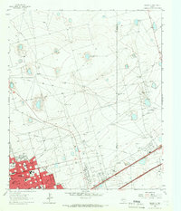 1964 Odessa NE1966 Print · USGSOdessa and the Permian Basin plains are seen here during a period of rapid mid-century growth. Researchers can trace the development of neighborhood institutions like Permian High Sch and Sunset Memorial Gardens or the limits of the Headlee Field.4 unique versions available
 - 1986 Map of Odessa
 1986 Odessa1986 Print · USGSThe Permian Basin’s oil-driven landscape is revealed in the mid-eighties, showing the sprawl of Odessa and Midland. Trace the growth of energy infrastructure at the South Cowden Oil Field or explore the unique Sand Dunes of Monahans Sand Hills State Park.2 unique versions available
 - 2010 Map of Odessa NE, 2010 Print
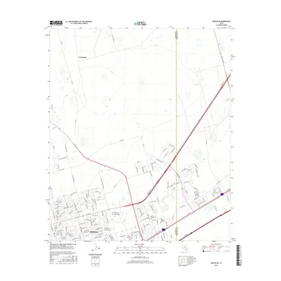
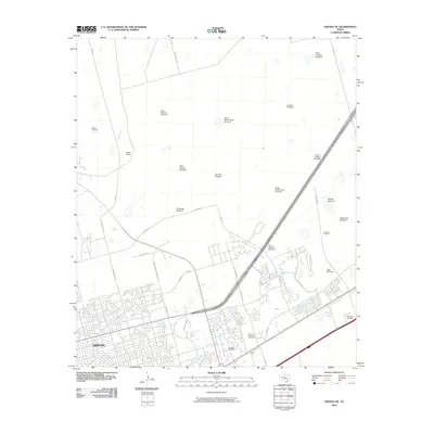 2010 Odessa NE2010 Print · USGSCovers Faudree Road Development, including Midland, Odessa, and other nearby areas
 - 2012 Map of Odessa NE, 2012 Print
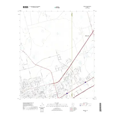
 2012 Odessa NE2012 Print · USGSCovers Faudree Road Development, including Midland, Odessa, and other nearby areas
 - 2016 Map of Odessa NE, 2016 Print
 2016 Odessa NE2016 Print · USGSCovers Faudree Road Development, including Midland, Odessa, and other nearby areas
 - 2019 Map of Odessa NE, 2019 Print
 2019 Odessa NE2019 Print · USGSCovers Faudree Road Development, including Midland, Odessa, and other nearby areas
 - 2022 Map of Odessa NE, 2022 Print
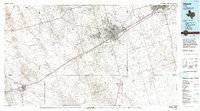
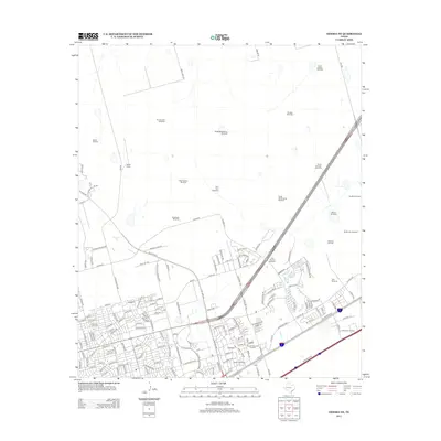
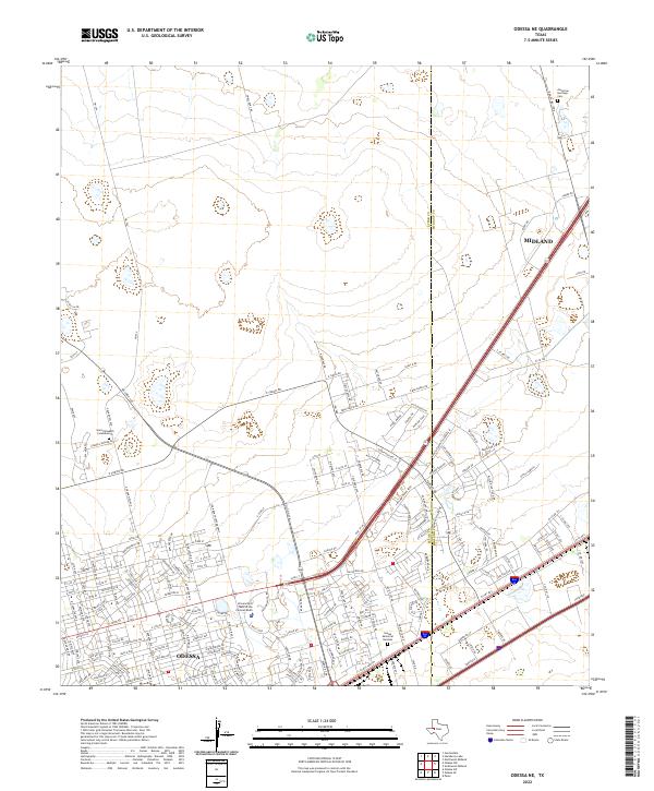 2022 Odessa NE2022 Print · USGSThe Permian Basin corridor shows its modern growth as the Ector and Midland county lines meet. Researchers can trace the development of Odessa and the University of Texas of the Permian Basin alongside landmarks like Sunset Memorial Gardens.
End of results
Showing maps 1-9 of 9
Frequently asked questions
- What are the different types of historical maps available for Faudree Road Development?
- What is the oldest map of Faudree Road Development?
- Where can I purchase historical maps of Faudree Road Development for my home or office?
- Where can I download high-res historical maps of Faudree Road Development?
- Are there historical topographic maps available for Faudree Road Development?
- Is there historical aerial imagery available for Faudree Road Development?
- Where are historical maps of Faudree Road Development sourced from?