Old Maps of Ladonia, Texas
Explore 19 old maps of Ladonia, spanning from 1953 to today. These high-resolution historic maps reveal how streets, neighborhoods, landmarks, and natural features evolved over time — perfect for genealogy, metal detecting, research, and local history exploration.
What you can do with these maps:
- See how Ladonia changed over time: Compare historical maps to modern-day views to trace roads, homesites, rail lines & more.
- View detailed metadata: Each map includes creators, publishers, year, scale, and archive source.
- Overlay maps with satellite & LiDAR: Visualize the past alongside modern tools to explore terrain & human change.
- Trusted historical sources: Maps sourced from the USGS, Library of Congress, and other archives.
- Access maps your way: View online, download high-res files, or order prints for personal or research use.
Start exploring old maps of Ladonia to uncover forgotten places, hidden landmarks, and the deep history beneath your feet.
Ladonia, TX maps
(19)- 1953 Map of Texarkana, 1964 Print
 1953 Texarkana1964 Print · USGSThe Texas-Arkansas borderlands are captured here in the mid-fifties, during a decade of massive military and hydraulic engineering projects. Genealogists and researchers can locate family landmarks like Old Boston Cem, Siloam Ch, and the vast Red River Arsenal.4 unique versions available
 - 1954 Map of Sherman, 1964 Print
 1954 Sherman1964 Print · USGSThe Red River valley and North Texas plains are captured here in the mid-fifties, showing the region as new reservoirs like Lake Texoma and Lavon Reservoir reshaped the land. Genealogists can trace family roots through specific local landmarks like Courtney P O, Pilot Grove Sch, and New Hope Ch.2 unique versions available
 - 1956 Map of Texarkana
 1956 Texarkana1956 Print · USGSThe Ark-La-Tex borderlands come alive in the mid-fifties, showing the transition from a rail-dependent rural economy to a post-war industrial landscape. Researchers can trace the massive Red River Ordnance Depot and find towns like Talco, Bogata, and Naples.
 - 1958 Map of Sherman, 1959 Print
 1958 Sherman1959 Print · USGSNorth Texas and Southern Oklahoma were undergoing significant development in the late fifties as the Red River Valley transit networks matured. Researchers can trace historic family-named locations such as Saddler Bend, the grounds of Perrin AFB, and early shoreline developments at Lake Texoma.
 - 1964 Map of Ladonia, 1968 Print
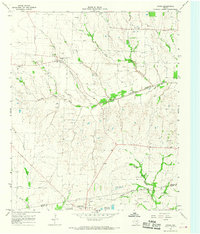
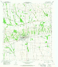 1964 Ladonia1968 Print · USGSNortheastern Texas crossroads near the Fannin and Hunt County line are captured here in the mid-sixties. Researchers can trace the Atchison Topeka and Santa Fe rail line and locate rural landmarks like Bug Tussle, Clark High Sch, and the Odd Fellows Cem.
 - 1964 Map of Gober, 1968 Print
 1964 Gober1968 Print · USGSNortheast Texas farmland along the Fannin and Hunt county line is captured here in the mid-sixties as rural life centered on small rail-side towns and river bottoms. Researchers can trace family sites at Rehobeth Cem, the community of Gober, and the Atchison Topeka and Santa Fe rail line.
 - 1985 Map of McKinney
 1985 McKinney1985 Print · USGSNorth Texas in the mid-1980s was a landscape of rural communities connected by a complex web of railroads and creek systems. Researchers can trace family roots through settlements like Westminster, find local landmarks like Henslee Chapel, or map the industrial activity at various Gravel Pits.2 unique versions available
 - 1985 Map of Sulphur Springs
 1985 Sulphur Springs1985 Print · USGSNortheast Texas in the mid-eighties shows a landscape transitioning between its deep-rooted rail towns and a new era of reservoir development. Genealogists and historians can trace family locations near Shooks Chapel, the rural Farmers Academy, and the banks of the South Sulphur River.
 - 1991 Map of Sulphur Springs
 1991 Sulphur Springs1991 Print · USGSNortheast Texas in the early nineties shows a transition from rail-dependent agriculture to a landscape defined by massive reservoirs. Researchers can trace rural lineages through sites like Gafford Chapel and the Forest Academy Cem, or follow the path of the St Louis Southwestern RR.
 - 2010 Map of Gober, 2010 Print
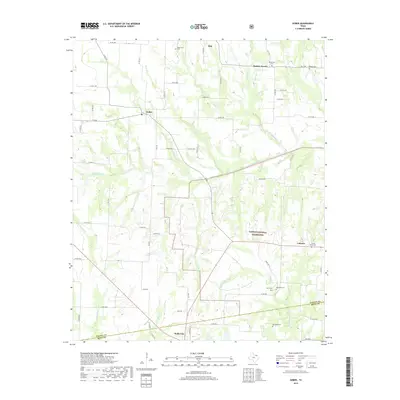
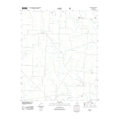 2010 Gober2010 Print · USGSCovers Ladonia, including Wolfe City, Bartley Woods, and other nearby areas
 - 2010 Map of Ladonia, 2010 Print
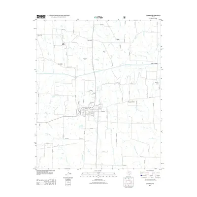
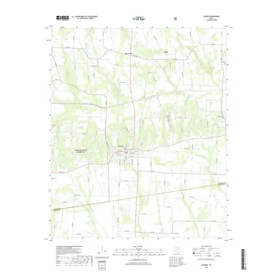
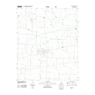 2010 Ladonia2010 Print · USGSCovers Ladonia, including Silver City, Pleasant Grove, and other nearby areas
 - 2013 Map of Ladonia, 2013 Print
 2013 Ladonia2013 Print · USGSCovers Ladonia, including Silver City, Pleasant Grove, and other nearby areas
 - 2013 Map of Gober, 2013 Print
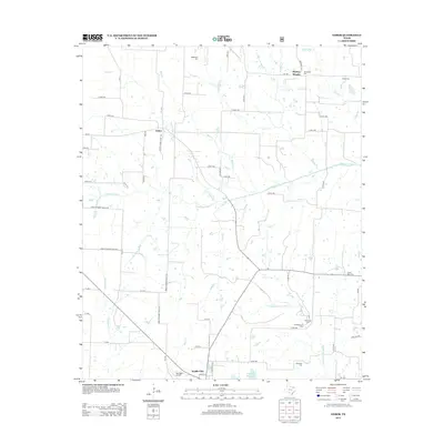 2013 Gober2013 Print · USGSCovers Ladonia, including Wolfe City, Bartley Woods, and other nearby areas
 - 2016 Map of Gober, 2016 Print
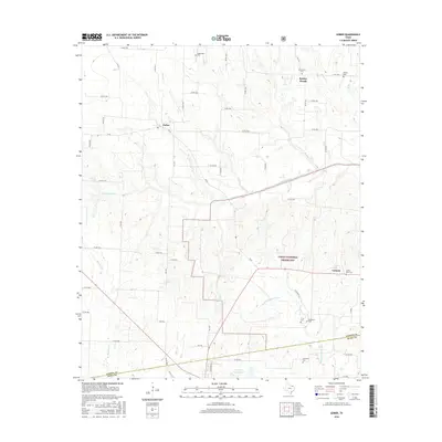 2016 Gober2016 Print · USGSCovers Ladonia, including Wolfe City, Bartley Woods, and other nearby areas
 - 2016 Map of Ladonia, 2016 Print
 2016 Ladonia2016 Print · USGSCovers Ladonia, including Silver City, Pleasant Grove, and other nearby areas
 - 2019 Map of Ladonia, 2019 Print
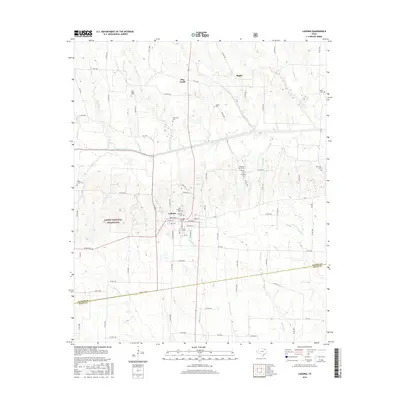
 2019 Ladonia2019 Print · USGSCovers Ladonia, including Silver City, Pleasant Grove, and other nearby areas
 - 2019 Map of Gober, 2019 Print
 2019 Gober2019 Print · USGSCovers Ladonia, including Wolfe City, Bartley Woods, and other nearby areas
 - 2022 Map of Ladonia, 2022 Print
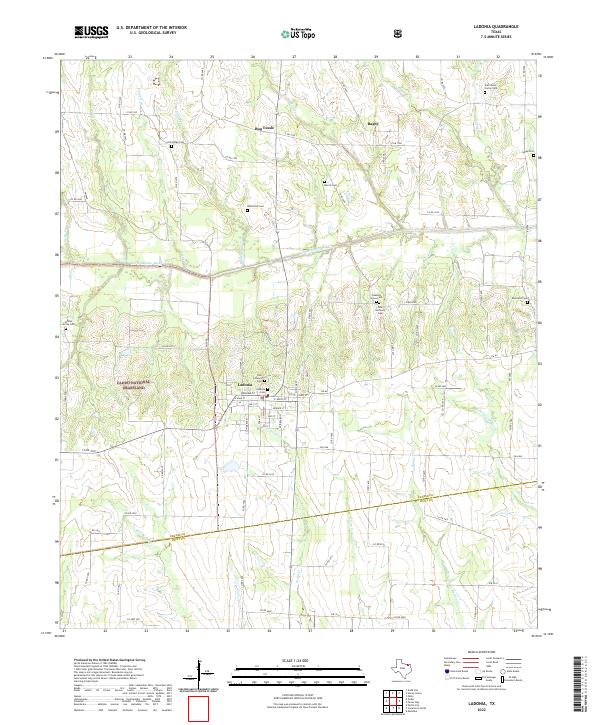 2022 Ladonia2022 Print · USGSThe rural communities and cemetery sites of Fannin County are documented here during the early twenty-first century. Genealogists and local historians can trace family plots at Ladonia Cem and Lyday Cem or explore the uniquely named settlement of Bug Tussle.
 - 2022 Map of Gober, 2022 Print
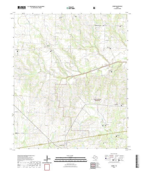 2022 Gober2022 Print · USGSFannin and Hunt counties are captured here in recent years, showing a rural landscape defined by public lands and small agricultural settlements. Genealogists can locate numerous local burial sites like Gober Cem and Woods Cem near the Caddo National Grassland.
End of results
Showing maps 1-19 of 19
Top cities near Ladonia
- Bonham historical maps
- Commerce historical maps
- Leonard historical maps
- Honey Grove historical maps
- Wolfe City historical maps
- Celeste historical maps
See more
Frequently asked questions
- What are the different types of historical maps available for Ladonia?
- What is the oldest map of Ladonia?
- Where can I purchase historical maps of Ladonia for my home or office?
- Where can I download high-res historical maps of Ladonia?
- Are there historical topographic maps available for Ladonia?
- Is there historical aerial imagery available for Ladonia?
- Where are historical maps of Ladonia sourced from?