Old Maps of Gordonville, Texas
Explore 12 old maps of Gordonville, spanning from 1901 to today. These high-resolution historic maps reveal how streets, neighborhoods, landmarks, and natural features evolved over time — perfect for genealogy, metal detecting, research, and local history exploration.
What you can do with these maps:
- See how Gordonville changed over time: Compare historical maps to modern-day views to trace roads, homesites, rail lines & more.
- View detailed metadata: Each map includes creators, publishers, year, scale, and archive source.
- Overlay maps with satellite & LiDAR: Visualize the past alongside modern tools to explore terrain & human change.
- Trusted historical sources: Maps sourced from the USGS, Library of Congress, and other archives.
- Access maps your way: View online, download high-res files, or order prints for personal or research use.
Start exploring old maps of Gordonville to uncover forgotten places, hidden landmarks, and the deep history beneath your feet.
Gordonville, TX maps
(12)- 1901 Map of Denison
 1901 Denison1901 Print · USGSThe Red River valley in the final years of the Indian Territory era was a landscape of river crossings and rail expansion. Genealogists and historians can trace the early transit networks through Willis Ferry, Cedar Mills, and the Colbert Bridge.4 unique versions available
 - 1954 Map of Sherman, 1964 Print
 1954 Sherman1964 Print · USGSThe Red River valley and North Texas plains are captured here in the mid-fifties, showing the region as new reservoirs like Lake Texoma and Lavon Reservoir reshaped the land. Genealogists can trace family roots through specific local landmarks like Courtney P O, Pilot Grove Sch, and New Hope Ch.2 unique versions available
 - 1958 Map of Gordonville, 1959 Print
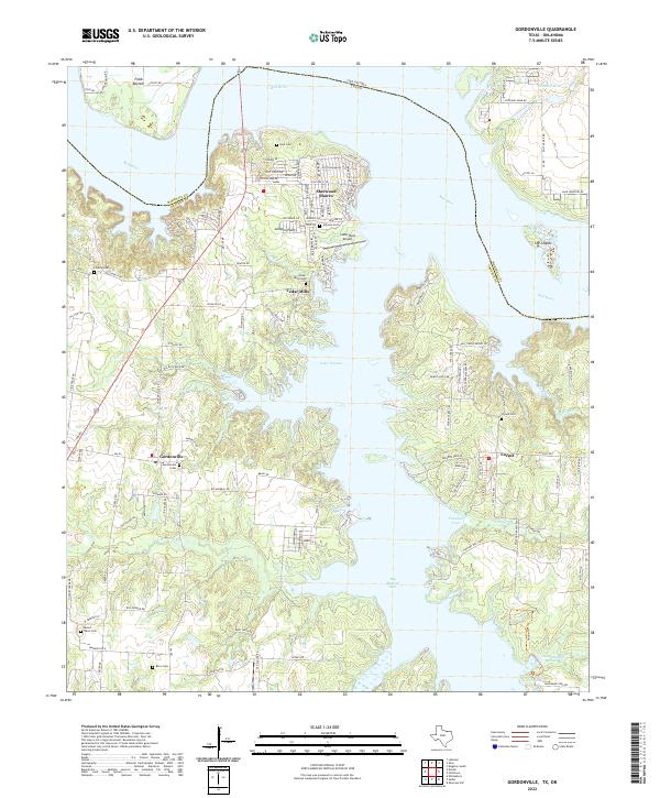
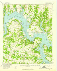 1958 Gordonville1959 Print · USGSGrayson County and the Red River valley are shown here just after the mid-century, as the region adjusted to the presence of the reservoir. Genealogists can locate family sites like Mt Tabor Cem, Johnson Cem, and the rural community of Gordonville.2 unique versions available
 - 1958 Map of Sherman, 1959 Print
 1958 Sherman1959 Print · USGSNorth Texas and Southern Oklahoma were undergoing significant development in the late fifties as the Red River Valley transit networks matured. Researchers can trace historic family-named locations such as Saddler Bend, the grounds of Perrin AFB, and early shoreline developments at Lake Texoma.
 - 1976 Map of Gordonville SE, 1979 Print
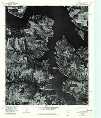 1976 Gordonville SE1979 Print · USGSGrayson County shoreline and rural settlements are captured in high detail in the mid-1970s as the reservoir shaped the local landscape. Genealogists and researchers can trace the roads and properties surrounding Gordonville, Locust, and the Cedar Mills area.
 - 1982 Map of Gordonville, 1983 Print
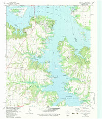 1982 Gordonville1983 Print · USGSThe Texas-Oklahoma borderlands around Lake Texoma are captured here in the early eighties, showing a landscape defined by the massive reservoir and the Red River. Researchers can locate old family cemeteries such as Mt Tabor Cem and Locust Cem alongside the early energy infrastructure of the Sandusky Oil Field.
 - 1985 Map of Sherman, 1991 Print
 1985 Sherman1991 Print · USGSThe borderlands of North Texas and Southern Oklahoma are captured here in the mid-eighties, centered on the expansive waters of Lake Texoma. Researchers can trace the legacy of the regional rail economy through the Missouri-Kansas-Texas RR or explore the geography of Hagerman National Wildlife Refuge and Carpenters Bluff.
 - 2010 Map of Gordonville, 2010 Print
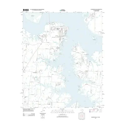
 2010 Gordonville2010 Print · USGSCovers Gordonville, including Sherwood Shores, Cedar Mills, and other nearby areas
 - 2013 Map of Gordonville, 2013 Print
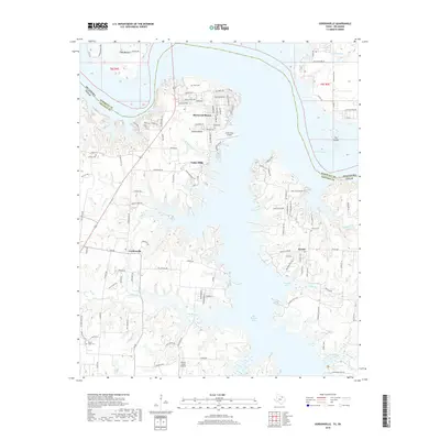
 2013 Gordonville2013 Print · USGSCovers Gordonville, including Sherwood Shores, Cedar Mills, and other nearby areas
 - 2016 Map of Gordonville, 2016 Print
 2016 Gordonville2016 Print · USGSCovers Gordonville, including Sherwood Shores, Cedar Mills, and other nearby areas
 - 2019 Map of Gordonville, 2019 Print
 2019 Gordonville2019 Print · USGSCovers Gordonville, including Sherwood Shores, Cedar Mills, and other nearby areas
 - 2022 Map of Gordonville, 2022 Print
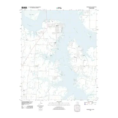
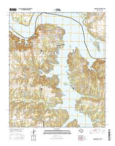
 2022 Gordonville2022 Print · USGSGrayson County's northern shore meets the Oklahoma border at the Red River in this detailed survey of the Lake Texoma region. Genealogists and local historians can locate several rural burial sites, including Mount Tabor Cem, Cedar Mills Cem, and Noel Cem.
End of results
Showing maps 1-12 of 12
Top cities near Gordonville
- Sherman historical maps
- Denison historical maps
- Whitesboro historical maps
- Pottsboro historical maps
- Kingston historical maps
- Southmayd historical maps
See more
Frequently asked questions
- What are the different types of historical maps available for Gordonville?
- What is the oldest map of Gordonville?
- Where can I purchase historical maps of Gordonville for my home or office?
- Where can I download high-res historical maps of Gordonville?
- Are there historical topographic maps available for Gordonville?
- Is there historical aerial imagery available for Gordonville?
- Where are historical maps of Gordonville sourced from?