Old Maps of McKenzie Park, Harris County
Explore 23 old maps of McKenzie Park, spanning from 1916 to today. These high-resolution historic maps reveal how streets, neighborhoods, landmarks, and natural features evolved over time — perfect for genealogy, metal detecting, research, and local history exploration.
What you can do with these maps:
- See how McKenzie Park changed over time: Compare historical maps to modern-day views to trace roads, homesites, rail lines & more.
- View detailed metadata: Each map includes creators, publishers, year, scale, and archive source.
- Overlay maps with satellite & LiDAR: Visualize the past alongside modern tools to explore terrain & human change.
- Trusted historical sources: Maps sourced from the USGS, Library of Congress, and other archives.
- Access maps your way: View online, download high-res files, or order prints for personal or research use.
Start exploring old maps of McKenzie Park to uncover forgotten places, hidden landmarks, and the deep history beneath your feet.
McKenzie Park, Harris County maps
(23)- 1916 Map of Louetta
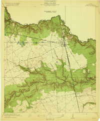
 1916 Louetta1916 Print · USGSHarris County was a rural landscape of timber mills and rail sidings during the mid-1910s. Genealogists can trace family footprints at Kohrville School, Hufsmith, and Ross Sawmill as the local economy transitioned into the motor age.
 - 1916 Map of Spring
 1916 Spring1916 Print · USGSNorth Harris County was a network of railroad junctions and creek-side settlements during the early twentieth century. Researchers can trace family-named roads and schools like Kothman Road, Roth School, and the junction at Spring.3 unique versions available
 - 1920 Map of Spring
 1920 Spring1920 Print · USGSNorthern Harris County is shown at a pivotal rail-junction moment as the Galveston Line and International and Great Northern meet at Spring. Genealogists can locate early community landmarks like the Kothman School, Bammel settlement, and Roth School along the winding Cypress Creek.2 unique versions available
 - 1920 Map of Louetta
 1920 Louetta1920 Print · USGSNorthern Harris County was a landscape of timber mills and rail junctions in the years following the Great War. Genealogists and local historians can trace family roots through landmarks like Kohrville School, Ross Sawmill, and the settlement at Louetta.2 unique versions available
 - 1954 Map of Beaumont, 1964 Print
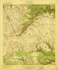
 1954 Beaumont1964 Print · USGSSoutheast Texas in the mid-fifties reveals a landscape of massive national forests, emerging reservoirs, and a booming oil economy. Genealogists and researchers can trace rural settlements like Dallardsville and Village Mills or locate early drilling sites at Sour Lake Oil Field.3 unique versions available
 - 1957 Map of Beaumont
 1957 Beaumont1957 Print · USGSSoutheast Texas in the mid-fifties is defined by the timber-rich lands between the Trinity River and Beaumont. Trace the history of the Alabama and Coushatti Indian Reservation or locate early campus sites like Prairie View College.
 - 1960 Map of Spring, 1962 Print
 1960 Spring1962 Print · USGSNorthern Harris County is captured here just as the rural oil-and-rail economy began to transition toward modern suburbia. Genealogists can locate family burial sites like Budde Cem and Ehrhardt Cem alongside the old Missouri Pacific line.2 unique versions available
 - 1962 Map of Tomball, 1964 Print
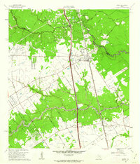
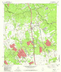
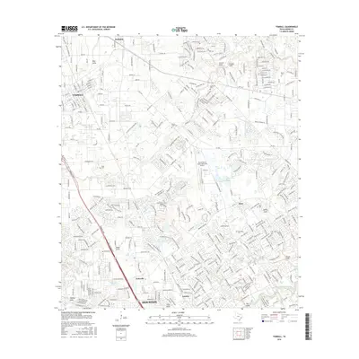
 1962 Tomball1964 Print · USGSNorthwest Harris County in the early sixties was a landscape of expanding oil fields and legacy family farmsteads. Researchers can trace rural cemeteries like Huckabee Cem, the Hufsmith Oil Field, and early rail lines through Tomball and Kohrville.4 unique versions available
 - 1982 Map of Spring
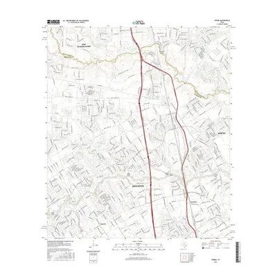
 1982 Spring1982 Print · USGSNorth of Houston in the early 1980s, the Spring area was rapidly evolving from a rail-stop settlement into a sprawling suburban hub. Genealogists and historians can trace family-named sites like Ehrhardt Cem and Glameyer Cem alongside newer landmarks like Skyline Airport.
 - 1984 Map of Beaumont
 1984 Beaumont1984 Print · USGSSoutheast Texas in the late seventies and early eighties shows a landscape of expanding reservoirs and deep timber industry. Researchers can trace the development of the Sam Houston National Forest or locate regional landmarks like Grabbs Prairie and the Wynne State Prison Farm.3 unique versions available
 - 1985 Map of Conroe
 1985 Conroe1985 Print · USGSSoutheast Texas in the mid-eighties shows a landscape of timberlands and new lakeside developments. Researchers can trace the legacy of rail lines like the Southern Pacific RR or locate rural communities such as Plantersville, Yarboro, and Hufsmith.2 unique versions available
 - 1995 Map of Tomball, 1999 Print
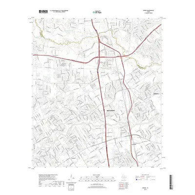
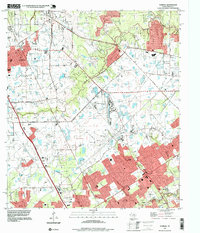 1995 Tomball1999 Print · USGSNorth of Houston in the late twentieth century, this area shows the shift from oil fields to suburban residential blocks. Genealogists can locate several historic burial sites, including Pillot Cem and Klein Cem, near the growing settlements of Tomball and Kohrville.
 - 1995 Map of Spring, 2000 Print
 1995 Spring2000 Print · USGSThe northern reaches of Harris County are shown in the mid-1990s during a period of rapid suburban growth. Genealogists and local historians can trace family burial sites like Wunsche Cem and Budde Cem or locate the early campus of North Harris County College.
 - 2010 Map of Tomball, 2010 Print
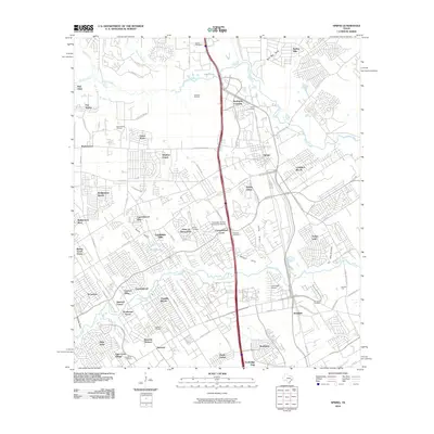
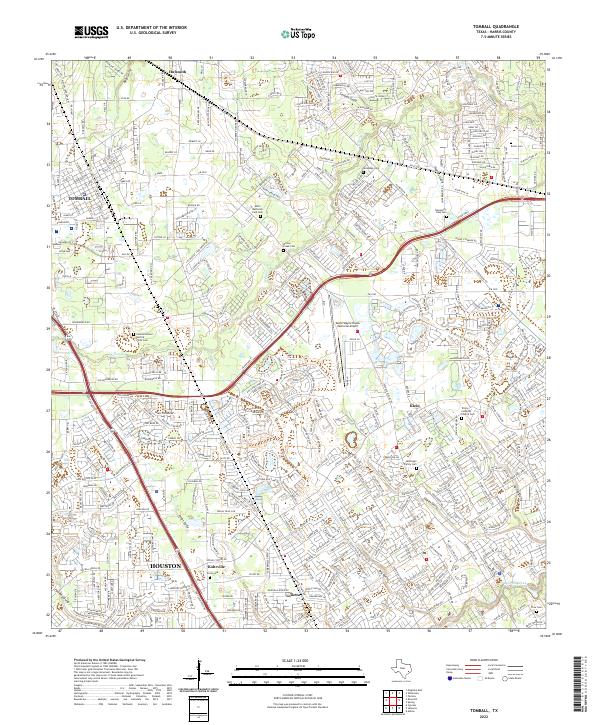
 2010 Tomball2010 Print · USGSCovers McKenzie Park, including Houston, Tomball, and other nearby areas
 - 2010 Map of Spring, 2010 Print
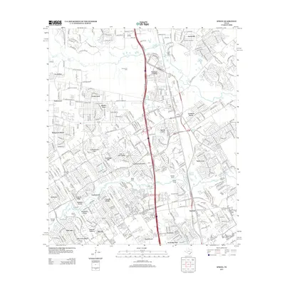
 2010 Spring2010 Print · USGSCovers McKenzie Park, including Houston, The Woodlands, and other nearby areas
 - 2013 Map of Tomball, 2013 Print
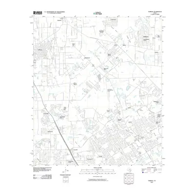
 2013 Tomball2013 Print · USGSCovers McKenzie Park, including Houston, Tomball, and other nearby areas
 - 2013 Map of Spring, 2013 Print
 2013 Spring2013 Print · USGSCovers McKenzie Park, including Houston, The Woodlands, and other nearby areas
 - 2016 Map of Spring, 2016 Print
 2016 Spring2016 Print · USGSCovers McKenzie Park, including Houston, The Woodlands, and other nearby areas
 - 2016 Map of Tomball, 2016 Print
 2016 Tomball2016 Print · USGSCovers McKenzie Park, including Houston, Tomball, and other nearby areas
 - 2019 Map of Spring, 2019 Print
 2019 Spring2019 Print · USGSCovers McKenzie Park, including Houston, The Woodlands, and other nearby areas
 - 2019 Map of Tomball, 2019 Print
 2019 Tomball2019 Print · USGSCovers McKenzie Park, including Houston, Tomball, and other nearby areas
 - 2022 Map of Tomball, 2022 Print
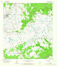
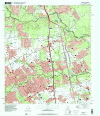
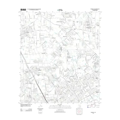
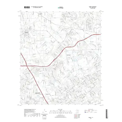
 2022 Tomball2022 Print · USGSThe Tomball and Klein area of Harris County is captured here during a period of rapid suburban expansion along the Grand Pkwy. Genealogists can trace family heritage through numerous sites like the McDougle Family Cem, Huckabee Cem, and the community surrounding Kohrville.
 - 2023 Map of Spring, 2023 Print
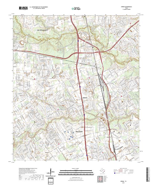 2023 Spring2023 Print · USGSThe Montgomery and Harris county line comes into focus in this recent study of the Spring Creek corridor. Genealogists can locate family burial sites like Wunsche Family Cem and Mueschke Cem amidst the modern growth of Spring and The Woodlands.
End of results
Showing maps 1-23 of 23
Frequently asked questions
- What are the different types of historical maps available for McKenzie Park?
- What is the oldest map of McKenzie Park?
- Where can I purchase historical maps of McKenzie Park for my home or office?
- Where can I download high-res historical maps of McKenzie Park?
- Are there historical topographic maps available for McKenzie Park?
- Is there historical aerial imagery available for McKenzie Park?
- Where are historical maps of McKenzie Park sourced from?