Old Maps of Tuscan Estates, Harris County
Explore 20 old maps of Tuscan Estates, spanning from 1916 to today. These high-resolution historic maps reveal how streets, neighborhoods, landmarks, and natural features evolved over time — perfect for genealogy, metal detecting, research, and local history exploration.
What you can do with these maps:
- See how Tuscan Estates changed over time: Compare historical maps to modern-day views to trace roads, homesites, rail lines & more.
- View detailed metadata: Each map includes creators, publishers, year, scale, and archive source.
- Overlay maps with satellite & LiDAR: Visualize the past alongside modern tools to explore terrain & human change.
- Trusted historical sources: Maps sourced from the USGS, Library of Congress, and other archives.
- Access maps your way: View online, download high-res files, or order prints for personal or research use.
Start exploring old maps of Tuscan Estates to uncover forgotten places, hidden landmarks, and the deep history beneath your feet.
Tuscan Estates, Harris County maps
(20)- 1916 Map of Rose Hill
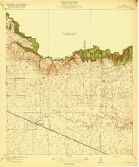
 1916 Rose Hill1916 Print · USGSHarris County farming communities thrived along the Montgomery County line during the mid-1910s, years before suburban sprawl reached the area. Genealogists can trace early homesteads near Rose Hill and find historic rural landmarks like Cypress Church and the Bowers School.
 - 1916 Map of Hockley
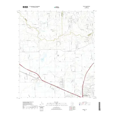
 1916 Hockley1916 Print · USGSUpper Harris County during the First World War shows a landscape defined by timber mills and early railroad junctions. Genealogists can locate family-named landmarks like Bauers Store and Hegar School, or trace the old Houston and Texas Central Road.
 - 1920 Map of Hockley
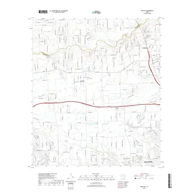
 1920 Hockley1920 Print · USGSHarris County at the edge of the prairie reveals a landscape of early rail and timber industry just after the First World War. Trace local roots at Hockley and the Hegar School or locate the old Bauers Sawmill near Spring Creek.3 unique versions available
 - 1920 Map of Rose Hill
 1920 Rose Hill1920 Print · USGSNorthwest Harris County appears as a burgeoning rural community in the years following the Great War. Genealogists and local historians can trace the foundations of the district through several early schoolhouses, including East Rose Hill School and Neidorff School, as well as Cypress Church.
 - 1954 Map of Beaumont, 1964 Print
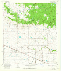
 1954 Beaumont1964 Print · USGSSoutheast Texas in the mid-fifties reveals a landscape of massive national forests, emerging reservoirs, and a booming oil economy. Genealogists and researchers can trace rural settlements like Dallardsville and Village Mills or locate early drilling sites at Sour Lake Oil Field.3 unique versions available
 - 1957 Map of Beaumont
 1957 Beaumont1957 Print · USGSSoutheast Texas in the mid-fifties is defined by the timber-rich lands between the Trinity River and Beaumont. Trace the history of the Alabama and Coushatti Indian Reservation or locate early campus sites like Prairie View College.
 - 1962 Map of Hockley, 1964 Print
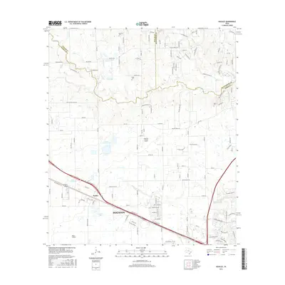
 1962 Hockley1964 Print · USGSThis corner of the Texas Gulf Coast in the early sixties centers on Hockley, where the Southern Pacific tracks meet a network of family ranch roads. Genealogists can trace early area residents through the Roberts Cem, Macedonia Cem, and Hegar Cem.3 unique versions available
 - 1962 Map of Rose Hill, 1964 Print
 1962 Rose Hill1964 Print · USGSNorthern Harris County is captured in the early sixties as a ranching and energy-producing landscape. Genealogists can trace family names at Sander Cem and Rose Hill Cem or locate the Letter M Ranch and the local Refinery.3 unique versions available
 - 1984 Map of Beaumont
 1984 Beaumont1984 Print · USGSSoutheast Texas in the late seventies and early eighties shows a landscape of expanding reservoirs and deep timber industry. Researchers can trace the development of the Sam Houston National Forest or locate regional landmarks like Grabbs Prairie and the Wynne State Prison Farm.3 unique versions available
 - 1985 Map of Conroe
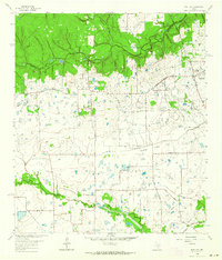
 1985 Conroe1985 Print · USGSSoutheast Texas in the mid-eighties shows a landscape of timberlands and new lakeside developments. Researchers can trace the legacy of rail lines like the Southern Pacific RR or locate rural communities such as Plantersville, Yarboro, and Hufsmith.2 unique versions available
 - 2010 Map of Hockley, 2010 Print
 2010 Hockley2010 Print · USGSCovers Tuscan Estates, including Houston, Hegar, and other nearby areas
 - 2010 Map of Rose Hill, 2010 Print
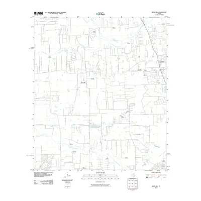 2010 Rose Hill2010 Print · USGSCovers Tuscan Estates, including Houston, Tomball, and other nearby areas
 - 2013 Map of Hockley, 2013 Print
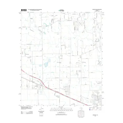 2013 Hockley2013 Print · USGSCovers Tuscan Estates, including Houston, Hegar, and other nearby areas
 - 2013 Map of Rose Hill, 2013 Print
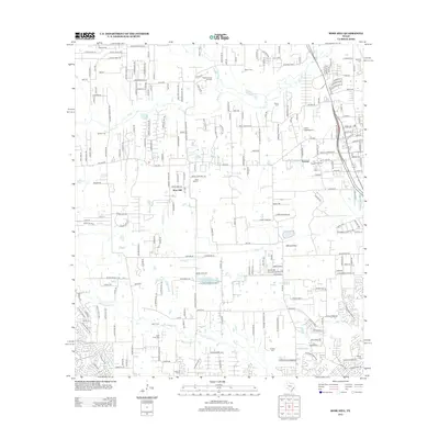 2013 Rose Hill2013 Print · USGSCovers Tuscan Estates, including Houston, Tomball, and other nearby areas
 - 2016 Map of Rose Hill, 2016 Print
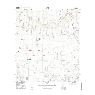 2016 Rose Hill2016 Print · USGSCovers Tuscan Estates, including Houston, Tomball, and other nearby areas
 - 2016 Map of Hockley, 2016 Print
 2016 Hockley2016 Print · USGSCovers Tuscan Estates, including Houston, Hegar, and other nearby areas
 - 2019 Map of Rose Hill, 2019 Print
 2019 Rose Hill2019 Print · USGSCovers Tuscan Estates, including Houston, Tomball, and other nearby areas
 - 2019 Map of Hockley, 2019 Print
 2019 Hockley2019 Print · USGSCovers Tuscan Estates, including Houston, Hegar, and other nearby areas
 - 2022 Map of Rose Hill, 2022 Print
 2022 Rose Hill2022 Print · USGSIn the northwestern outskirts of Houston during the early twenty-first century, this area balances residential growth with deep-rooted local history. Genealogists can locate numerous burial sites like Sander Cem, Zahn Cem, and Rose Hill Cem alongside the waters of Willow Cr.
 - 2022 Map of Hockley, 2022 Print
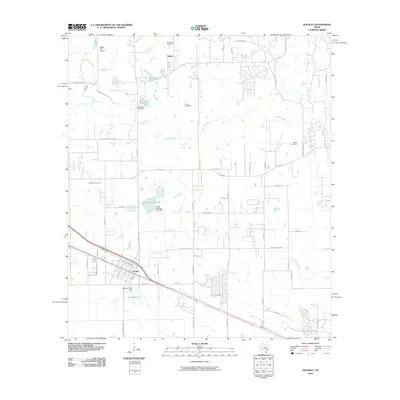
 2022 Hockley2022 Print · USGSNorthwest of Houston in the 2020s, this area reflects a landscape of deep-rooted family history and modern suburban growth. Genealogists can locate numerous burial sites like the Roberts Cem African American and Leverkuhn Family Cem near Hegar Brothers Lake.
End of results
Showing maps 1-20 of 20
Frequently asked questions
- What are the different types of historical maps available for Tuscan Estates?
- What is the oldest map of Tuscan Estates?
- Where can I purchase historical maps of Tuscan Estates for my home or office?
- Where can I download high-res historical maps of Tuscan Estates?
- Are there historical topographic maps available for Tuscan Estates?
- Is there historical aerial imagery available for Tuscan Estates?
- Where are historical maps of Tuscan Estates sourced from?