Old Maps of Appelt Hill, Texas
Explore 10 old maps of Appelt Hill, spanning from 1919 to today. These high-resolution historic maps reveal how streets, neighborhoods, landmarks, and natural features evolved over time — perfect for genealogy, metal detecting, research, and local history exploration.
What you can do with these maps:
- See how Appelt Hill changed over time: Compare historical maps to modern-day views to trace roads, homesites, rail lines & more.
- View detailed metadata: Each map includes creators, publishers, year, scale, and archive source.
- Overlay maps with satellite & LiDAR: Visualize the past alongside modern tools to explore terrain & human change.
- Trusted historical sources: Maps sourced from the USGS, Library of Congress, and other archives.
- Access maps your way: View online, download high-res files, or order prints for personal or research use.
Start exploring old maps of Appelt Hill to uncover forgotten places, hidden landmarks, and the deep history beneath your feet.
Appelt Hill, TX maps
(10)- 1919 Map of Schulenburg, 1956 Print
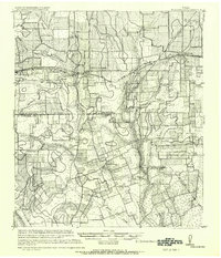 1919 Schulenburg1956 Print · USGSTexas at the close of the Great War was a landscape of rail-connected towns and river crossings. Genealogists can trace family roots through the settlements of High Hill, Dubina, and St. Johns, while following the old fords across the Navidad River.
 - 1953 Map of Seguin, 1965 Print
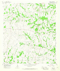
 1953 Seguin1965 Print · USGSSouth Texas in the early fifties shows a thriving river-and-rail economy across the Guadalupe and Colorado basins. Genealogists and historians can trace rail routes like the Southern Pacific through Seguin, locate oil wells, or find the Gary AAF near San Marcos.4 unique versions available
 - 1958 Map of Seguin
 1958 Seguin1958 Print · USGSSouth Texas in the late fifties was a network of river-valley settlements and active oilfields tied together by major rail lines. Genealogists and historians can trace family-named sites across Rabb Prairie, locate the Behring Store, or follow the Southern Pacific through Schulenburg.
 - 1965 Map of Moravia, 1967 Print
 1965 Moravia1967 Print · USGSThe rural borderlands of Lavaca and Fayette Counties come into focus in the mid-1960s, showing a landscape of family farms and creek-fed valleys. Genealogists and historians can trace the foundations of local life through the Old Kinkler Community Hall, Moravia, and Andrew Chapel Cem.2 unique versions available
 - 1985 Map of Eagle Lake
 1985 Eagle Lake1985 Print · USGSSoutheast Texas in the mid-eighties shows a landscape defined by the Colorado River and a booming energy sector. Genealogists and historians can trace rail-tied towns like La Grange and Fayetteville or locate the Frelsburg Oil Field and Stephen F Austin State Park.2 unique versions available
 - 2010 Map of Moravia, 2010 Print
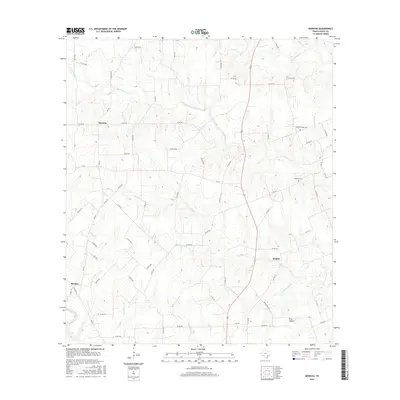
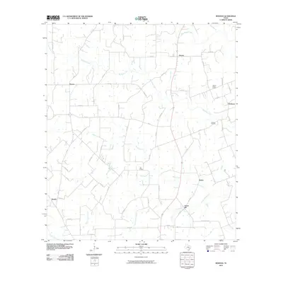 2010 Moravia2010 Print · USGSCovers Appelt Hill, including Moravia, Kinkler, and other nearby areas
 - 2013 Map of Moravia, 2013 Print
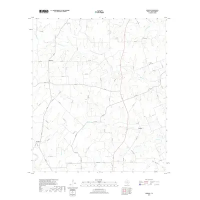
 2013 Moravia2013 Print · USGSCovers Appelt Hill, including Moravia, Kinkler, and other nearby areas
 - 2016 Map of Moravia, 2016 Print
 2016 Moravia2016 Print · USGSCovers Appelt Hill, including Moravia, Kinkler, and other nearby areas
 - 2019 Map of Moravia, 2019 Print
 2019 Moravia2019 Print · USGSCovers Appelt Hill, including Moravia, Kinkler, and other nearby areas
 - 2022 Map of Moravia, 2022 Print
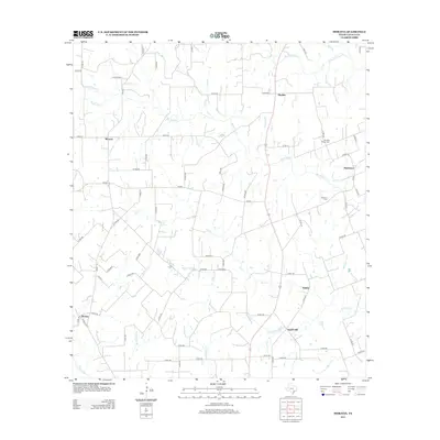
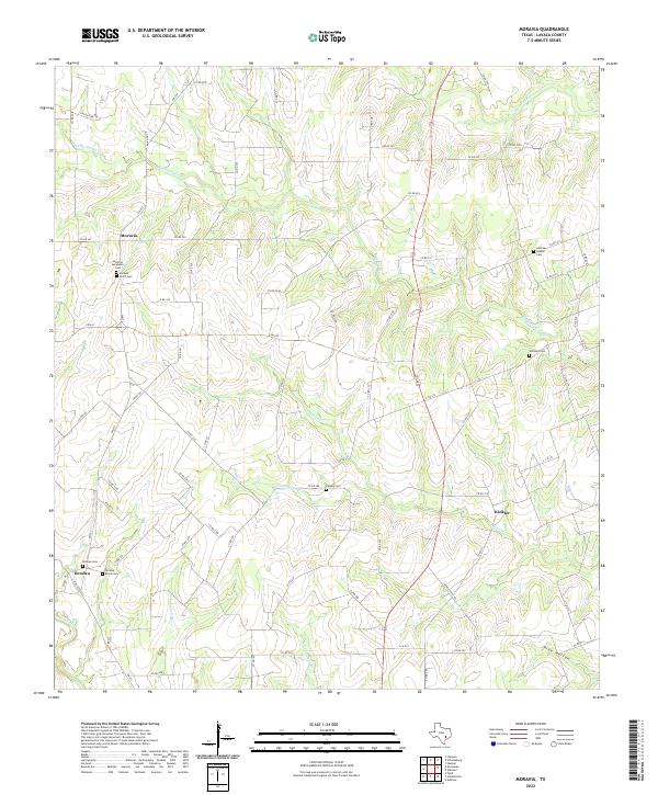 2022 Moravia2022 Print · USGSLavaca County's rural crossroads and family settlements are documented here in the early twenty-first century. Genealogists and local historians can trace legacy land use through numerous burial sites like Andrews Chapel Cem, Kinkler Cem, and the ethnic history found at Moravia.
End of results
Showing maps 1-10 of 10
Top cities near Appelt Hill
- Yoakum historical maps
- Schulenburg historical maps
- Hallettsville historical maps
- Weimar historical maps
- Flatonia historical maps
- Praha historical maps
Frequently asked questions
- What are the different types of historical maps available for Appelt Hill?
- What is the oldest map of Appelt Hill?
- Where can I purchase historical maps of Appelt Hill for my home or office?
- Where can I download high-res historical maps of Appelt Hill?
- Are there historical topographic maps available for Appelt Hill?
- Is there historical aerial imagery available for Appelt Hill?
- Where are historical maps of Appelt Hill sourced from?