Old Maps of Elm Creek, Texas
Explore 10 old maps of Elm Creek, spanning from 1940 to today. These high-resolution historic maps reveal how streets, neighborhoods, landmarks, and natural features evolved over time — perfect for genealogy, metal detecting, research, and local history exploration.
What you can do with these maps:
- See how Elm Creek changed over time: Compare historical maps to modern-day views to trace roads, homesites, rail lines & more.
- View detailed metadata: Each map includes creators, publishers, year, scale, and archive source.
- Overlay maps with satellite & LiDAR: Visualize the past alongside modern tools to explore terrain & human change.
- Trusted historical sources: Maps sourced from the USGS, Library of Congress, and other archives.
- Access maps your way: View online, download high-res files, or order prints for personal or research use.
Start exploring old maps of Elm Creek to uncover forgotten places, hidden landmarks, and the deep history beneath your feet.
Elm Creek, TX maps
(10)- 1940 Map of Paloma, 1959 Print
 1940 Paloma1959 Print · USGSMaverick County ranch lands and early energy infrastructure are detailed here at the dawn of the 1940s. Genealogists and historians can trace family operations like Burr Ranch and Sullivan Ranch, or locate the specific footprint of the Chittim Gas Field.
 - 1958 Map of Eagle Pass, 1969 Print
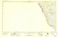 1958 Eagle Pass1969 Print · USGSThe borderlands of South Texas come alive in this mid-century look at the ranching and rail corridor along the Rio Grande. Genealogists and historians can trace legacy holdings like San Pedro Ranch, find the Maverick Canal network, and locate rail sidings at Darling.2 unique versions available
 - 1965 Map of Eagle Pass
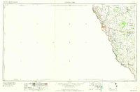 1965 Eagle Pass1965 Print · USGSThe Texas-Mexico borderlands come into focus in the mid-1960s, centered on the river life and ranching culture of Maverick County. Researchers can trace the legacy of major landholdings like Burr Ranch and Loma Linda Ranch alongside landmarks like the Hydroelectric Plant.
 - 1974 Map of Deadmans Hill, 1977 Print
 1974 Deadmans Hill1977 Print · USGSMaverick County in the mid-1970s was a landscape defined by ranching, rail, and the industrial infrastructure of Seco Mines. Researchers can trace the path of the Southern Pacific and an Old Railroad Grade past landmarks like Deadmans Hill.
 - 1985 Map of Eagle Pass
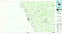 1985 Eagle Pass1985 Print · USGSThe Texas-Mexico borderlands come into focus in the mid-1980s as Eagle Pass grows along the Rio Grande. Genealogists and historians can trace the rail corridor of the Southern Pacific and locate rural communities like Normandy and El Indio.
 - 2010 Map of Deadmans Hill, 2010 Print
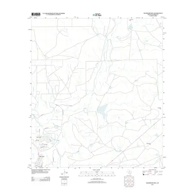
 2010 Deadmans Hill2010 Print · USGSCovers Elm Creek, including South Elm Creek Number 4 Colonia, Deer Run Number 1 Colonia, and other nearby areas
 - 2012 Map of Deadmans Hill, 2012 Print
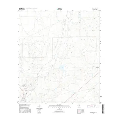
 2012 Deadmans Hill2012 Print · USGSCovers Elm Creek, including South Elm Creek Number 4 Colonia, Deer Run Number 1 Colonia, and other nearby areas
 - 2016 Map of Deadmans Hill, 2016 Print
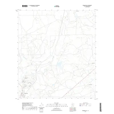
 2016 Deadmans Hill2016 Print · USGSCovers Elm Creek, including South Elm Creek Number 4 Colonia, Deer Run Number 1 Colonia, and other nearby areas
 - 2019 Map of Deadmans Hill, 2019 Print
 2019 Deadmans Hill2019 Print · USGSCovers Elm Creek, including South Elm Creek Number 4 Colonia, Deer Run Number 1 Colonia, and other nearby areas
 - 2022 Map of Deadmans Hill, 2022 Print
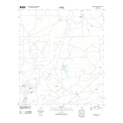
 2022 Deadmans Hill2022 Print · USGSMaverick County ranchlands are captured here in the early 2020s, showcasing the intersection of traditional South Texas water tanks and modern rural development. Trace local roads to the Elm Creek and Siesta Acres communities or locate landmarks like Deadmans Hill and King Tank.
End of results
Showing maps 1-10 of 10
Top cities near Elm Creek
- Eagle Pass historical maps
- Chula Vista historical maps
- Rosita historical maps
- Las Quintas Fronterizas historical maps
Frequently asked questions
- What are the different types of historical maps available for Elm Creek?
- What is the oldest map of Elm Creek?
- Where can I purchase historical maps of Elm Creek for my home or office?
- Where can I download high-res historical maps of Elm Creek?
- Are there historical topographic maps available for Elm Creek?
- Is there historical aerial imagery available for Elm Creek?
- Where are historical maps of Elm Creek sourced from?