Old Maps of Wildorado, Texas
Explore 10 old maps of Wildorado, spanning from 1954 to today. These high-resolution historic maps reveal how streets, neighborhoods, landmarks, and natural features evolved over time — perfect for genealogy, metal detecting, research, and local history exploration.
What you can do with these maps:
- See how Wildorado changed over time: Compare historical maps to modern-day views to trace roads, homesites, rail lines & more.
- View detailed metadata: Each map includes creators, publishers, year, scale, and archive source.
- Overlay maps with satellite & LiDAR: Visualize the past alongside modern tools to explore terrain & human change.
- Trusted historical sources: Maps sourced from the USGS, Library of Congress, and other archives.
- Access maps your way: View online, download high-res files, or order prints for personal or research use.
Start exploring old maps of Wildorado to uncover forgotten places, hidden landmarks, and the deep history beneath your feet.
Wildorado, TX maps
(10)- 1954 Map of Tucumcari, 1965 Print
 1954 Tucumcari1965 Print · USGSThe high plains along the New Mexico and Texas border come alive in this mid-century survey, just as the regional highway network was maturing. Trace the historic route of U.S. 66 through Glenrio and San Jon or locate remote rail sidings like Rehm Station and Obar.2 unique versions available
 - 1958 Map of Tucumcari
 1958 Tucumcari1958 Print · USGSEastern New Mexico and the Texas Panhandle meet in this mid-century survey of the high plains ranching and rail corridor. Researchers can trace the path of Mother Road travelers through Tucumcari and Glenrio or locate remote rail stops like Nara Visa Station and Hartley Station.
 - 1962 Map of Wildorado, 1964 Print
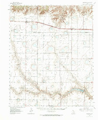 1962 Wildorado1964 Print · USGSThe Texas Panhandle comes into focus during the early sixties, showing the rail-and-ranch life along the Chicago Rock Island and Pacific line. Genealogists and historians can trace local landmarks like Palo Duro Ch, Highland Sch, and the Bynum Ranch.
 - 1984 Map of Wildorado
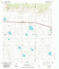 1984 Wildorado1984 Print · USGSWildorado and the surrounding High Plains are captured here during the early eighties, showcasing the intersection of four Texas counties. Researchers can trace land use through the Feedlot and Elevator, or locate landmarks like Highland School and Ida Lake.
 - 1985 Map of Vega, 1986 Print
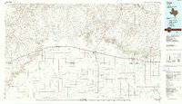 1985 Vega1986 Print · USGSThe Texas Panhandle is captured in the mid-eighties as the cattle and rail economy shaped the landscape from the Canadian River breaks to the southern plains. Researchers can trace the Atchison Topeka and Santa Fe line through Vega and Wildorado or locate landmarks like the Old Railroad Grade and Bivins Lake.2 unique versions available
 - 2010 Map of Wildorado, 2010 Print
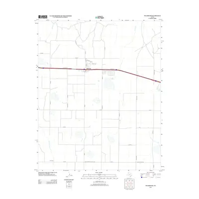
 2010 Wildorado2010 Print · USGSCovers Wildorado, including Randall County, Potter County, and other nearby areas
 - 2012 Map of Wildorado, 2012 Print
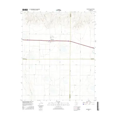
 2012 Wildorado2012 Print · USGSCovers Wildorado, including Randall County, Potter County, and other nearby areas
 - 2016 Map of Wildorado, 2016 Print
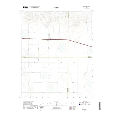
 2016 Wildorado2016 Print · USGSCovers Wildorado, including Randall County, Potter County, and other nearby areas
 - 2019 Map of Wildorado, 2019 Print
 2019 Wildorado2019 Print · USGSCovers Wildorado, including Randall County, Potter County, and other nearby areas
 - 2022 Map of Wildorado, 2022 Print
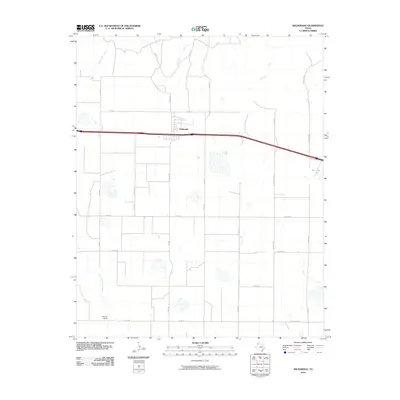
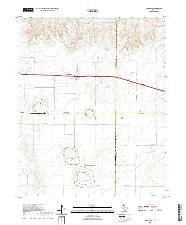 2022 Wildorado2022 Print · USGSWildorado is captured here at a modern crossroad where four Texas counties meet along the Interstate 40 corridor. Local historians can trace the town's layout near the Post Office or locate regional landmarks like the J & H Airport and Ida Lake.
End of results
Showing maps 1-10 of 10
Top cities near Wildorado
Frequently asked questions
- What are the different types of historical maps available for Wildorado?
- What is the oldest map of Wildorado?
- Where can I purchase historical maps of Wildorado for my home or office?
- Where can I download high-res historical maps of Wildorado?
- Are there historical topographic maps available for Wildorado?
- Is there historical aerial imagery available for Wildorado?
- Where are historical maps of Wildorado sourced from?