Old Maps of Tenaha, Texas
Explore 19 old maps of Tenaha, spanning from 1953 to today. These high-resolution historic maps reveal how streets, neighborhoods, landmarks, and natural features evolved over time — perfect for genealogy, metal detecting, research, and local history exploration.
What you can do with these maps:
- See how Tenaha changed over time: Compare historical maps to modern-day views to trace roads, homesites, rail lines & more.
- View detailed metadata: Each map includes creators, publishers, year, scale, and archive source.
- Overlay maps with satellite & LiDAR: Visualize the past alongside modern tools to explore terrain & human change.
- Trusted historical sources: Maps sourced from the USGS, Library of Congress, and other archives.
- Access maps your way: View online, download high-res files, or order prints for personal or research use.
Start exploring old maps of Tenaha to uncover forgotten places, hidden landmarks, and the deep history beneath your feet.
Tenaha, TX maps
(19)- 1953 Map of Palestine, 1964 Print
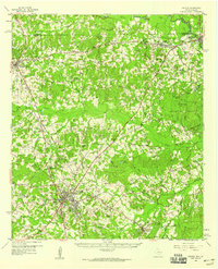
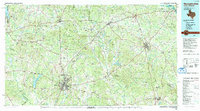
 1953 Palestine1964 Print · USGSEast Texas was defined by its deep pine forests and burgeoning energy sector in the mid-1950s. Genealogists and historians can trace the rail-and-river economy through settlements like Tennessee Colony and Pollok or explore the early footprints of the Cayuga Oil Field and Davy Crockett National Forest.2 unique versions available
 - 1957 Map of Palestine
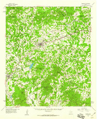
 1957 Palestine1957 Print · USGSEast Texas in the mid-fifties reveals a landscape of deep pine forests and winding river valleys before the era of massive reservoir construction. Researchers can trace the legacy of the timber and rail industries through labels for the Missouri Pacific RR, Davy Crockett National Forest, and Nacogdoches.
 - 1958 Map of Center, 1959 Print
 1958 Center1959 Print · USGSShelby County in the late fifties remains a landscape of timbered hills and rail-connected crossroads. Researchers can trace family roots through numerous rural sites like Newhope Ch, Union Cem, and the small community of Shelbyville near the Sabine River.3 unique versions available
 - 1958 Map of Timpson, 1959 Print
 1958 Timpson1959 Print · USGSShelby and Nacogdoches counties appear here during the late fifties, defined by a landscape of small timber-and-oil settlements and diverging rail lines. Genealogists can locate family landmarks such as Todd Spring Ch, Huber Sch, and Lake Timpson.2 unique versions available
 - 1984 Map of Palestine
 1984 Palestine1984 Print · USGSEast Texas in the mid-eighties reveals a landscape of massive reservoirs and protected timberlands between Palestine and Nacogdoches. Researchers can trace old routes like the Missouri Pacific RR and locate rural communities such as Tennessee Colony, Latexo, and Etoile.3 unique versions available
 - 1984 Map of Tenaha East, 1985 Print
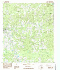 1984 Tenaha East1985 Print · USGSShelby County near the Sabine River valley comes into focus during the mid-1980s, showing a landscape defined by timber and transit. Researchers can trace the rail-side growth of Tenaha and Paxton or locate family-named landmarks like Woods Ch and Mc Faddin.
 - 1984 Map of Tenaha West, 1985 Print
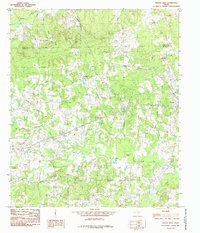 1984 Tenaha West1985 Print · USGSEast Texas ranching and timber country is captured here in the 1980s as it spans the border of Panola and Shelby Counties. Genealogists and local historians can trace family-named sites like Porter Hill, the Tennessee Cem, and the rural community of Bobo.
 - 1986 Map of Nacogdoches
 1986 Nacogdoches1986 Print · USGSDeep in the East Texas Piney Woods during the mid-eighties, this landscape centers on Nacogdoches and the sprawling Toledo Bend Reservoir. Genealogists can trace family footprints at Sulphur Springs Cem, Oak Grove Ch, and the many small settlements like Reklaw and Sacul.
 - 1992 Map of Nacogdoches
 1992 Nacogdoches1992 Print · USGSEast Texas timberlands and river valleys are captured here in the early nineties, centered on the historic regional hub of Nacogdoches. Trace family roots and old rail lines through Cushing, San Augustine, and Logansport along the Southern Pacific RR.
 - 2010 Map of Tenaha West, 2010 Print
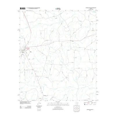
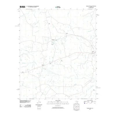 2010 Tenaha West2010 Print · USGSCovers Tenaha, including Bobo, Tennessee, and other nearby areas
 - 2010 Map of Tenaha East, 2010 Print
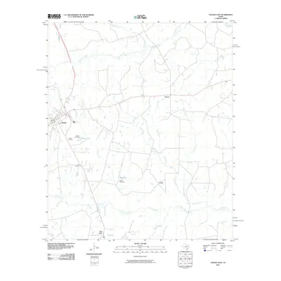 2010 Tenaha East2010 Print · USGSCovers Tenaha, including Flat Fork, Paxton, and other nearby areas
 - 2013 Map of Tenaha West, 2013 Print
 2013 Tenaha West2013 Print · USGSCovers Tenaha, including Bobo, Tennessee, and other nearby areas
 - 2013 Map of Tenaha East, 2013 Print
 2013 Tenaha East2013 Print · USGSCovers Tenaha, including Flat Fork, Paxton, and other nearby areas
 - 2016 Map of Tenaha West, 2016 Print
 2016 Tenaha West2016 Print · USGSCovers Tenaha, including Bobo, Tennessee, and other nearby areas
 - 2016 Map of Tenaha East, 2016 Print
 2016 Tenaha East2016 Print · USGSCovers Tenaha, including Flat Fork, Paxton, and other nearby areas
 - 2019 Map of Tenaha East, 2019 Print
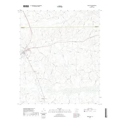 2019 Tenaha East2019 Print · USGSCovers Tenaha, including Flat Fork, Paxton, and other nearby areas
 - 2019 Map of Tenaha West, 2019 Print
 2019 Tenaha West2019 Print · USGSCovers Tenaha, including Bobo, Tennessee, and other nearby areas
 - 2022 Map of Tenaha East, 2022 Print
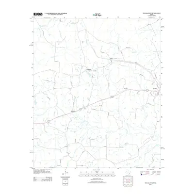
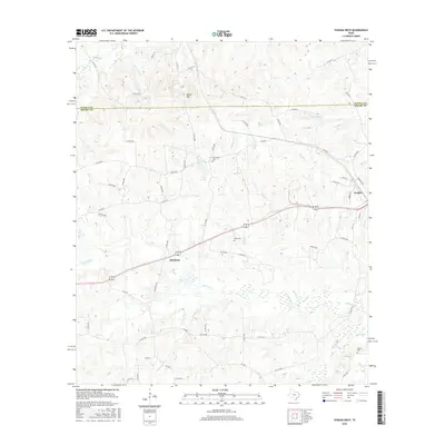
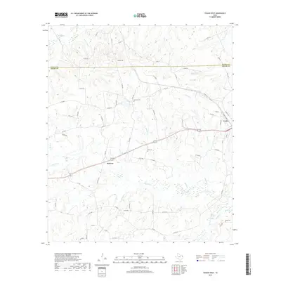
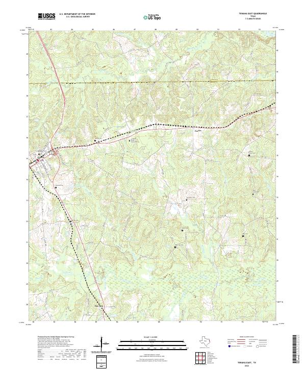 2022 Tenaha East2022 Print · USGSThe crossroads of eastern Texas come alive in this map of the timberlands during the early twenty-first century. Genealogists can locate numerous burial sites like Willow Grove Cemetery and Lone Oak Cemetery alongside the settlement of Tenaha.
 - 2022 Map of Tenaha West, 2022 Print
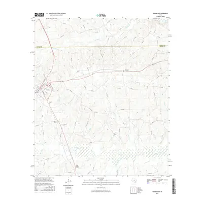
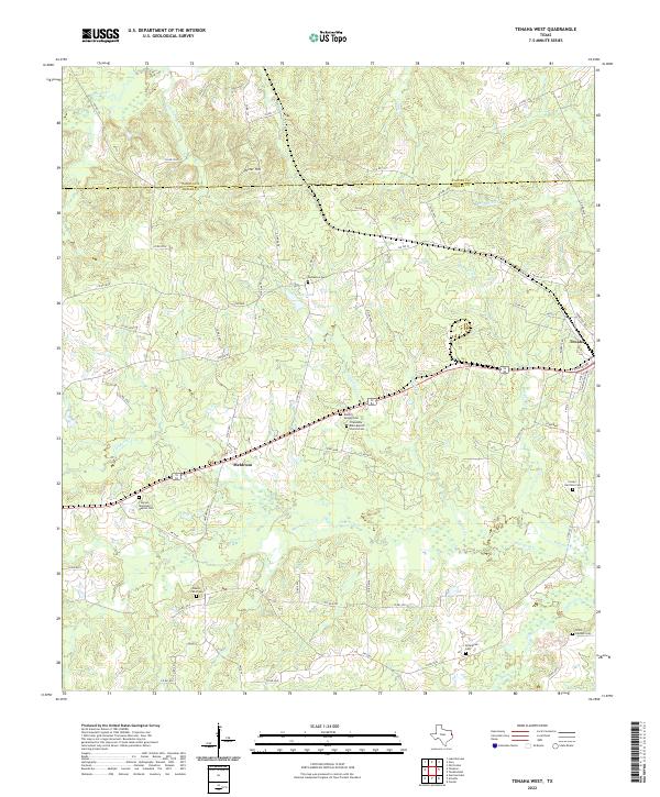 2022 Tenaha West2022 Print · USGSShelby County's timber and farming communities are mapped here in the early twenty-first century as they surround the town of Tenaha. Genealogists can trace family landmarks like Friendship Bobo Baptist Church Cem, Meldrum, and Porter Hill.
End of results
Showing maps 1-19 of 19
Top cities near Tenaha
Frequently asked questions
- What are the different types of historical maps available for Tenaha?
- What is the oldest map of Tenaha?
- Where can I purchase historical maps of Tenaha for my home or office?
- Where can I download high-res historical maps of Tenaha?
- Are there historical topographic maps available for Tenaha?
- Is there historical aerial imagery available for Tenaha?
- Where are historical maps of Tenaha sourced from?