Old Maps of McCamey, Texas
Explore 16 old maps of McCamey, spanning from 1928 to today. These high-resolution historic maps reveal how streets, neighborhoods, landmarks, and natural features evolved over time — perfect for genealogy, metal detecting, research, and local history exploration.
What you can do with these maps:
- See how McCamey changed over time: Compare historical maps to modern-day views to trace roads, homesites, rail lines & more.
- View detailed metadata: Each map includes creators, publishers, year, scale, and archive source.
- Overlay maps with satellite & LiDAR: Visualize the past alongside modern tools to explore terrain & human change.
- Trusted historical sources: Maps sourced from the USGS, Library of Congress, and other archives.
- Access maps your way: View online, download high-res files, or order prints for personal or research use.
Start exploring old maps of McCamey to uncover forgotten places, hidden landmarks, and the deep history beneath your feet.
McCamey, TX maps
(16)- 1928 Map of Crane
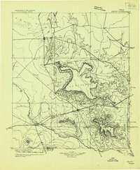 1928 Crane1928 Print · USGSWest Texas ranching and the early oil boom meet at the Pecos River during the late twenties. Trace the growth of new petroleum hubs at Crane and McCamey alongside family-named landmarks like McElroy and Cody Bell.
 - 1954 Map of Pecos, 1964 Print
 1954 Pecos1964 Print · USGSMid-century West Texas reveals a landscape of expanding oil fields and cattle ranching along the winding Pecos River. Local historians can trace family ranch lands like Goodrich Ranch, follow the Texas and Pacific rails, or locate the historic Horsehead Crossing.3 unique versions available
 - 1957 Map of Pecos
 1957 Pecos1957 Print · USGSWest Texas in the mid-fifties is a landscape of desert oil fields and vital rail corridors. Researchers can trace the sprawling Pyote Air Force Base, the historic Horsehead Crossing, and the rail stops at Mentone and Saragosa.
 - 1972 Map of McCamey South, 1974 Print
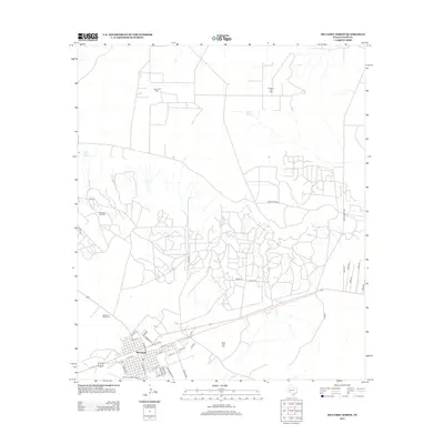
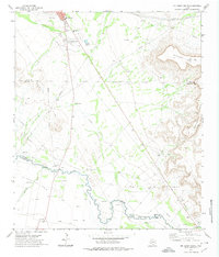 1972 McCamey South1974 Print · USGSThe West Texas oil and cattle country near the Pecos River is captured here in the early 1970s. Researchers can locate family landmarks like the Patton Ranch, trace the historic Old Spanish Ditch, or study the industrial footprint of the Tippett Oil Field.
 - 1972 Map of McCamey North, 1974 Print
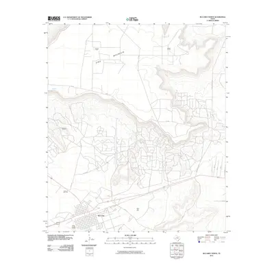
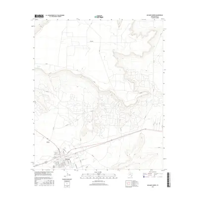
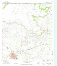 1972 McCamey North1974 Print · USGSMcCamey and the surrounding oil patches of Upton County are shown in detail during the early 1970s. Researchers can trace the industrial landscape of the Mesa Tank Farm or locate local landmarks like the Drive-in Theater and Garden of Memories (Cemetery).
 - 1986 Map of Crane
 1986 Crane1986 Print · USGSThe Permian Basin oil economy is on full display in the mid-eighties, showing a landscape defined by massive production fields and small company towns. Researchers can trace the infrastructure of the Mc Elroy Oil Field and Abell Oil and Gas Field or locate landmarks like Castle Mountain and Juan Cordona Lake.3 unique versions available
 - 2010 Map of McCamey North, 2010 Print
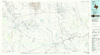
 2010 McCamey North2010 Print · USGSCovers McCamey, including Upton County, United States, and other nearby areas
 - 2010 Map of McCamey South, 2010 Print
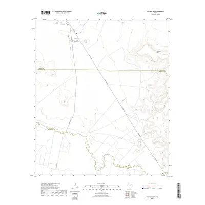
 2010 McCamey South2010 Print · USGSCovers McCamey, including Pecos County, Crockett County, and other nearby areas
 - 2012 Map of McCamey North, 2012 Print
 2012 McCamey North2012 Print · USGSCovers McCamey, including Upton County, United States, and other nearby areas
 - 2013 Map of McCamey South, 2013 Print
 2013 McCamey South2013 Print · USGSCovers McCamey, including Pecos County, Crockett County, and other nearby areas
 - 2016 Map of McCamey North, 2016 Print
 2016 McCamey North2016 Print · USGSCovers McCamey, including Upton County, United States, and other nearby areas
 - 2016 Map of McCamey South, 2016 Print
 2016 McCamey South2016 Print · USGSCovers McCamey, including Pecos County, Crockett County, and other nearby areas
 - 2019 Map of McCamey North, 2019 Print
 2019 McCamey North2019 Print · USGSCovers McCamey, including Upton County, United States, and other nearby areas
 - 2019 Map of McCamey South, 2019 Print
 2019 McCamey South2019 Print · USGSCovers McCamey, including Pecos County, Crockett County, and other nearby areas
 - 2022 Map of McCamey South, 2022 Print
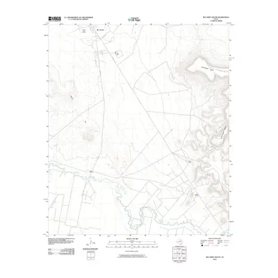
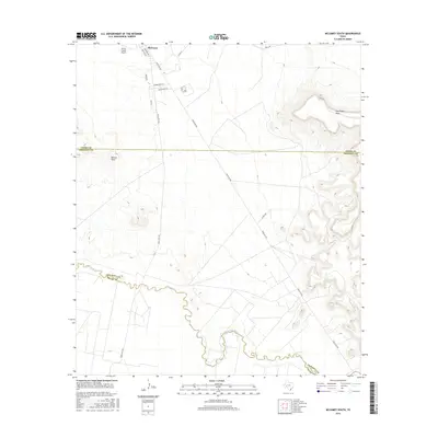
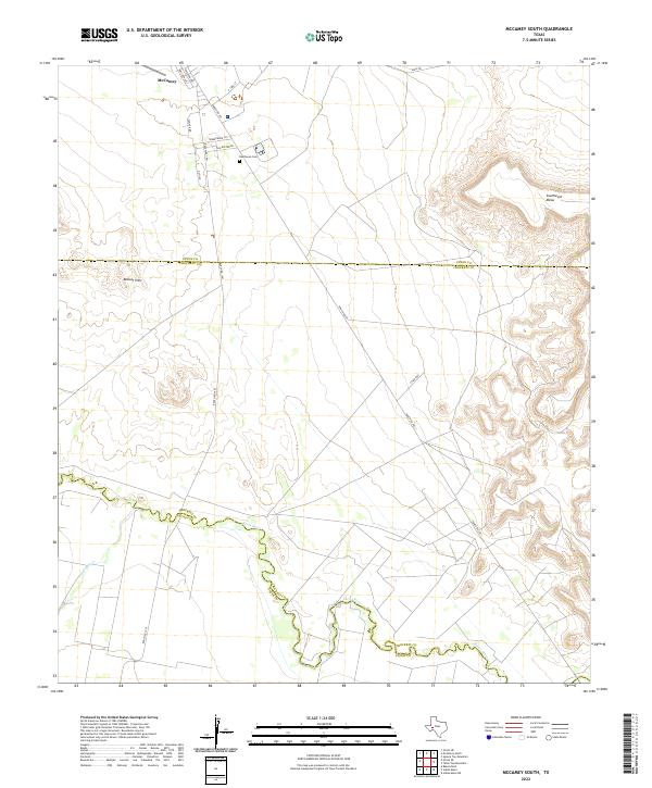 2022 McCamey South2022 Print · USGSCrockett County and the southern outskirts of McCamey are captured here as the desert landscape meets the winding Pecos River. Local historians can trace the town's edge at Resthaven Cem or follow the route of Ranch Rd 1901 through the Bobcat Hills.
 - 2022 Map of McCamey North, 2022 Print
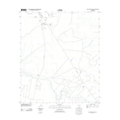
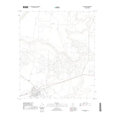
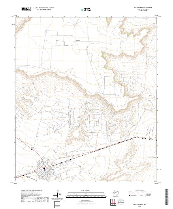 2022 McCamey North2022 Print · USGSThe northern reaches of McCamey are documented here in the early 2020s, showing the town at the foot of the massive King Mtn mesa. Researchers can trace local street grids, find the Garden of Memories Cem, and locate historic water sources like Old Maid Spring.
End of results
Showing maps 1-16 of 16
Frequently asked questions
- What are the different types of historical maps available for McCamey?
- What is the oldest map of McCamey?
- Where can I purchase historical maps of McCamey for my home or office?
- Where can I download high-res historical maps of McCamey?
- Are there historical topographic maps available for McCamey?
- Is there historical aerial imagery available for McCamey?
- Where are historical maps of McCamey sourced from?