Old Maps of Oquirrh Shadows, West Jordan
Explore 18 old maps of Oquirrh Shadows, spanning from 1885 to today. These high-resolution historic maps reveal how streets, neighborhoods, landmarks, and natural features evolved over time — perfect for genealogy, metal detecting, research, and local history exploration.
What you can do with these maps:
- See how Oquirrh Shadows changed over time: Compare historical maps to modern-day views to trace roads, homesites, rail lines & more.
- View detailed metadata: Each map includes creators, publishers, year, scale, and archive source.
- Overlay maps with satellite & LiDAR: Visualize the past alongside modern tools to explore terrain & human change.
- Trusted historical sources: Maps sourced from the USGS, Library of Congress, and other archives.
- Access maps your way: View online, download high-res files, or order prints for personal or research use.
Start exploring old maps of Oquirrh Shadows to uncover forgotten places, hidden landmarks, and the deep history beneath your feet.
Oquirrh Shadows, West Jordan maps
(18)- 1885 Map of Tooele Valley
 1885 Tooele Valley1885 Print · USGSThe valleys and ranges west of the Wasatch are captured here in the mid-1880s, showcasing the early mining and rail infrastructure of the region. Genealogists can trace early settlements like Grantsville, Ophir, and Stockton, or the route of the Utah and Nevada R. R.6 unique versions available
 - 1952 Map of Magna, 1954 Print
 1952 Magna1954 Print · USGSSalt Lake County is seen during a period of heavy industrial growth and rail expansion in the early fifties. Genealogists can trace the residential blocks of Magna and Hunter, while historians can locate industrial landmarks like the Magna Mill and the Powder Plant at Bacchus.6 unique versions available
 - 1952 Map of Lark, 1954 Print
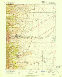 1952 Lark1954 Print · USGSThe mining and farming communities of the Oquirrh foothills are captured here in the early fifties, documenting the height of the regional copper era. Local researchers can trace family landmarks like Bingham High Sch, the Herriman Cem, and several named mine portals including the Butterfield Tunnel.5 unique versions available
 - 1953 Map of Tooele, 1968 Print
 1953 Tooele1968 Print · USGSTooele County is shown here in the 1950s, a vast landscape transitioning between the industrial growth of the Salt Lake Valley and isolated military testing grounds. Researchers can trace the routes of the Western Pacific railroad and locate historic outposts like Iosepa Ranch and St John Station.3 unique versions available
 - 1955 Map of Tooele, 1958 Print
 1955 Tooele1958 Print · USGSTooele County and the Great Salt Lake are captured here during the mid-fifties, an era of burgeoning military testing and industrial mining. Researchers can trace the rail sidings at Salduro Station, the grounds of the Deseret Chemical Corps Depot, and the International Smelting Co facilities.3 unique versions available
 - 1979 Map of Tooele, 1980 Print
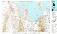 1979 Tooele1980 Print · USGSTooele and the eastern Oquirrh foothills appear here in the late seventies, showing a landscape defined by massive industrial works and military sites. Researchers can trace the rail corridors of the Western Pacific or locate the historic Monarch Mine and the vast Open Pit Mine near Bingham.
 - 1999 Map of Copperton, 2001 Print
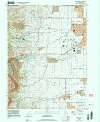 1999 Copperton2001 Print · USGSThe southwestern Salt Lake Valley was rapidly suburbanizing at the end of the century, even as the massive copper operations remained active. Genealogists and local historians can trace the early footprints of Herriman and Copperton, locating sites like the Bingham City Cem and Fort Herriman Historical Marker.
 - 1999 Map of Magna, 2001 Print
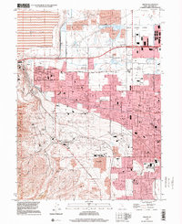 1999 Magna2001 Print · USGSThe Salt Lake Valley at the end of the century shows a unique blend of heavy industry and suburban growth. Trace family roots at Pleasant Green Cem or find local landmarks like the Magna Mill and the Utah Olympic Oval.
 - 2011 Map of Magna, 2011 Print
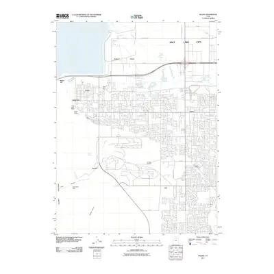 2011 Magna2011 Print · USGSThe western Salt Lake Valley was a hub of industry and growing residential grids at the start of the twenty-first century. Genealogists and local historians can trace the development of Magna and Hunter, locate the Pleasant Green Cemetery, and identify rail sidings like Riter and Cyprus.
 - 2011 Map of Copperton, 2011 Print
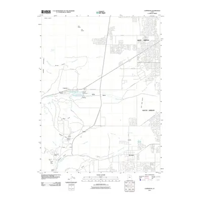 2011 Copperton2011 Print · USGSThe eastern foothills of the Oquirrh Mountains meet the expanding suburbs of the Salt Lake Valley in this recent survey. Researchers can trace the industrial footprint of the region through the Bingham Tunnel and the Kennecott Eastside Leaching Reservoir.
 - 2014 Map of Magna, 2014 Print
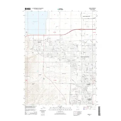 2014 Magna2014 Print · USGSThe western Salt Lake Valley meets the foothills of the Oquirrh Mountains in this 2014 study of rapid urban expansion. Researchers can trace the industrial footprints of Bacchus and the Kennecott Tailings Pond Number One alongside local landmarks like Pleasant Green Cem and Kearns Siding.
 - 2014 Map of Copperton, 2014 Print
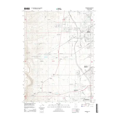 2014 Copperton2014 Print · USGSThe eastern foothills of the Oquirrh Mountains meet the suburban expansion of Salt Lake County in this mid-2010s survey. Researchers can trace the industrial infrastructure around Bingham Canyon and locate local landmarks like Bingham City Cem and Robbe.
 - 2017 Map of Magna, 2017 Print
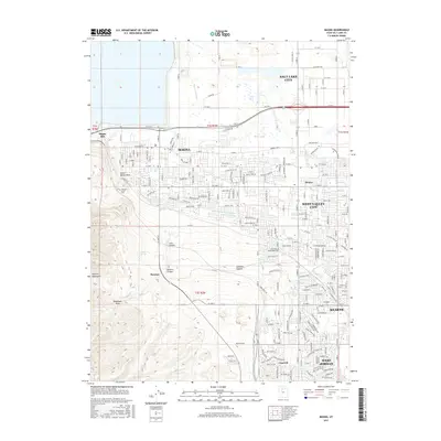 2017 Magna2017 Print · USGSThe western Salt Lake Valley comes into sharp focus during this period of suburban and industrial stability. Genealogists and historians can trace the irrigation network of the Utah and Salt Lake Canal and locate landmarks like the Magna Mill and Pleasant Green Cem.
 - 2017 Map of Copperton, 2017 Print
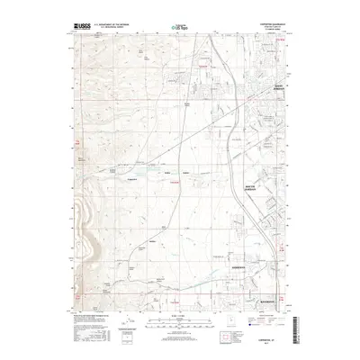 2017 Copperton2017 Print · USGSThe Oquirrh Mountains meet the expanding Salt Lake Valley in the mid-2010s, showing a unique landscape shaped by both large-scale industry and residential growth. Researchers can trace historic cemeteries like Bingham City Cem and locate vanished footprints near Robbe or Snyder.
 - 2020 Map of Magna, 2020 Print
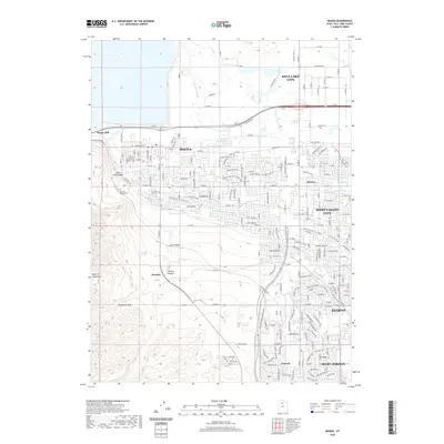 2020 Magna2020 Print · USGSThe eastern foothills of the Oquirrh Mountains met rapid suburban growth in the Salt Lake Valley during this era. Researchers can trace irrigation networks like the Utah and Salt Lake Canal and locate industrial landmarks such as the Magna Mill and the settlement of Bacchus.
 - 2020 Map of Copperton, 2020 Print
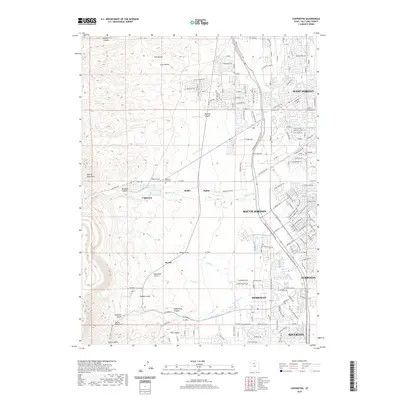 2020 Copperton2020 Print · USGSSalt Lake County’s western edge shows a striking intersection of industrial mining history and modern suburban growth in the early twenty-first century. Researchers can locate the Bingham City Cem and trace water routes like Bingham Cr near the settlements of Copperton and Dalton.
 - 2023 Map of Magna, 2023 Print
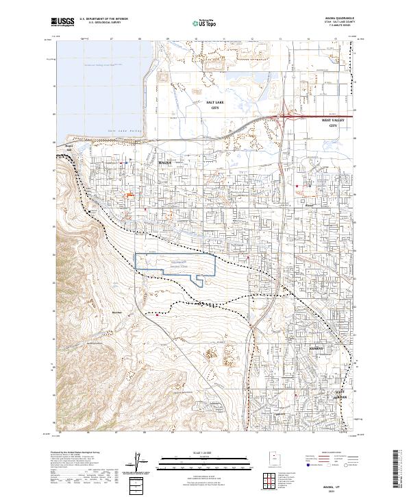 2023 Magna2023 Print · USGSThe western edge of the Salt Lake Valley is captured here during a period of significant suburban expansion and industrial persistence. Genealogists and local historians can locate Pleasant Green Cem and trace the influence of the Magna Mill and the historic Utah and Salt Lake Canal across the landscape.
 - 2023 Map of Copperton, 2023 Print
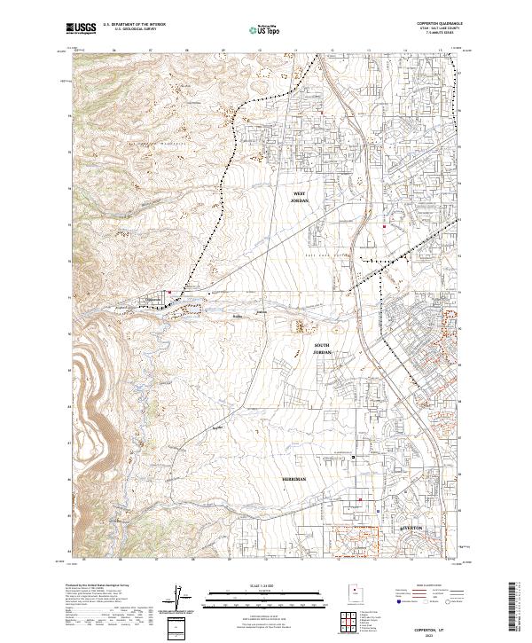 2023 Copperton2023 Print · USGSThe foothills of the Oquirrh Mountains meet the suburban Salt Lake Valley in this recent survey. Researchers can trace the industrial footprint of Bingham Canyon alongside the Bingham City Cem and the small settlement of Dalton.
End of results
Showing maps 1-18 of 18
Frequently asked questions
- What are the different types of historical maps available for Oquirrh Shadows?
- What is the oldest map of Oquirrh Shadows?
- Where can I purchase historical maps of Oquirrh Shadows for my home or office?
- Where can I download high-res historical maps of Oquirrh Shadows?
- Are there historical topographic maps available for Oquirrh Shadows?
- Is there historical aerial imagery available for Oquirrh Shadows?
- Where are historical maps of Oquirrh Shadows sourced from?