Old Maps of Sigurd, Utah
Explore 20 old maps of Sigurd, spanning from 1885 to today. These high-resolution historic maps reveal how streets, neighborhoods, landmarks, and natural features evolved over time — perfect for genealogy, metal detecting, research, and local history exploration.
What you can do with these maps:
- See how Sigurd changed over time: Compare historical maps to modern-day views to trace roads, homesites, rail lines & more.
- View detailed metadata: Each map includes creators, publishers, year, scale, and archive source.
- Overlay maps with satellite & LiDAR: Visualize the past alongside modern tools to explore terrain & human change.
- Trusted historical sources: Maps sourced from the USGS, Library of Congress, and other archives.
- Access maps your way: View online, download high-res files, or order prints for personal or research use.
Start exploring old maps of Sigurd to uncover forgotten places, hidden landmarks, and the deep history beneath your feet.
Sigurd, UT maps
(20)- 1885 Map of Fish Lake
 1885 Fish Lake1885 Print · USGSThe high plateaus and early canyon settlements of central Utah are documented here in the mid-1880s, shortly after the Powell Survey. Genealogists and historians can trace early families in Salina, Antimony, and Cousharem, or locate remote sites like Bean Spring.
 - 1896 Map of Fish Lake, 1899 Print
 1896 Fish Lake1899 Print · USGSSouthern Utah in the late nineteenth century is a land of high plateaus and isolated river settlements. Trace early pioneer outposts like Thurber, Teardale, and Antimony alongside geological marvels such as Fish Lake and the Water Pocket Flexure.4 unique versions available
 - 1956 Map of Salina
 1956 Salina1956 Print · USGSCentral Utah in the mid-fifties reveals a landscape of high plateaus and desert basins before the modern highway era. Researchers can trace the ranching and mining roots of Hanksville and Loa or locate the Lucky Strike Mine near the San Rafael Swell.5 unique versions available
 - 1960 Map of Salina
 1960 Salina1960 Print · USGSThe high plateaus and canyonlands of south-central Utah appear in the early sixties as a region of remote ranching towns and developing parklands. Researchers can trace historic settlements like Fruita and Loa or locate the uranium mines and the tracks of the Denver and Rio Grande Western RR.2 unique versions available
 - 1962 Map of Salina
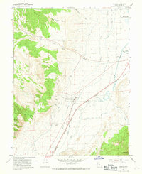
 1962 Salina1962 Print · USGSSevier County and the surrounding desert wilderness appear here in the early sixties as a network of isolated river valley towns and high-altitude forests. Researchers can locate remote landmarks like Fruita, trace the Denver & Rio Grande Western RR, and find backcountry sites like the Aquarius Ranger Station.
 - 1966 Map of Sigurd, 1969 Print
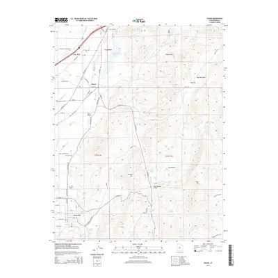
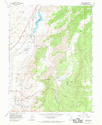 1966 Sigurd1969 Print · USGSSevier County communities thrive along the river and rail corridor in the mid-1960s. Genealogists and historians can trace family-named sites like Parcell Spring or locate the State Fish Hatchery and Sigurd Cemetery.
 - 1966 Map of Aurora, 1969 Print
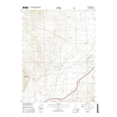
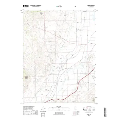
 1966 Aurora1969 Print · USGSAurora and the Sevier River valley are captured in the mid-1960s, showing a landscape defined by irrigation and rail. Genealogists and historians can trace the town's local Cem, the path of the Denver and Rio Grande Western railroad, and several Gravel Pits.2 unique versions available
 - 1980 Map of Salina, 1981 Print
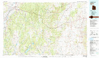 1980 Salina1981 Print · USGSCentral Utah in the late twentieth century reveals a landscape of high plateaus and transit corridors. Trace the Denver and Rio Grande Western RR past Salina or locate remote sites like Browning Mine and Fish Lake.2 unique versions available
 - 1997 Map of Sigurd, 2001 Print
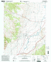
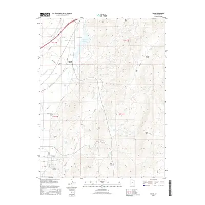
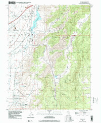 1997 Sigurd2001 Print · USGSCentral Utah’s Sevier River valley is seen here in the late twentieth century, showing a landscape defined by irrigation and early mining. Genealogists can trace family sites at Sigurd Cemetery and Glenwood while exploring the State Fish Hatchery.
 - 2001 Map of Aurora, 2003 Print
 2001 Aurora2003 Print · USGSThe town of Aurora and the Sevier River valley are shown at the turn of the millennium, showcasing a high-desert landscape shaped by intensive irrigation. Researchers can trace the paths of the Vermillion Canal and Piute Canal or locate local landmarks like the town Cem and Redmond Lake.
 - 2010 Map of Sigurd, 2010 Print
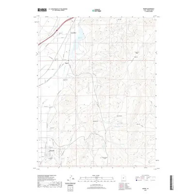
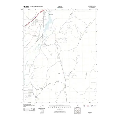 2010 Sigurd2010 Print · USGSCovers Sigurd, including Glenwood, Vermillion, and other nearby areas
 - 2011 Map of Aurora, 2011 Print
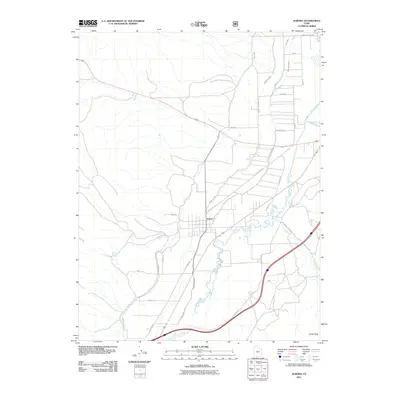 2011 Aurora2011 Print · USGSCovers Sigurd, including Salina, Aurora, and other nearby areas
 - 2014 Map of Aurora, 2014 Print
 2014 Aurora2014 Print · USGSCovers Sigurd, including Salina, Aurora, and other nearby areas
 - 2014 Map of Sigurd, 2014 Print
 2014 Sigurd2014 Print · USGSCovers Sigurd, including Glenwood, Vermillion, and other nearby areas
 - 2017 Map of Aurora, 2017 Print
 2017 Aurora2017 Print · USGSCovers Sigurd, including Salina, Aurora, and other nearby areas
 - 2017 Map of Sigurd, 2017 Print
 2017 Sigurd2017 Print · USGSCovers Sigurd, including Glenwood, Vermillion, and other nearby areas
 - 2020 Map of Sigurd, 2020 Print
 2020 Sigurd2020 Print · USGSCovers Sigurd, including Glenwood, Vermillion, and other nearby areas
 - 2020 Map of Aurora, 2020 Print
 2020 Aurora2020 Print · USGSCovers Sigurd, including Salina, Aurora, and other nearby areas
 - 2023 Map of Sigurd, 2023 Print
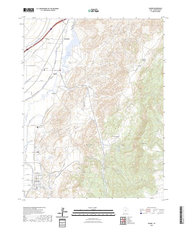 2023 Sigurd2023 Print · USGSThe Sevier River valley comes to life in this contemporary map, showing how water from the Piute Canal and Sevier River sustains the local farming community. Researchers can locate several burial grounds like Glenwood Pioneer Cem and Sigurd Cem or trace roads through Kings Meadow Canyon.
 - 2023 Map of Aurora, 2023 Print
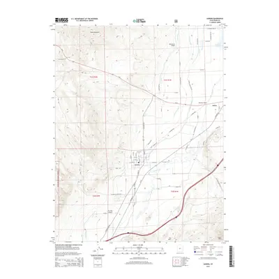
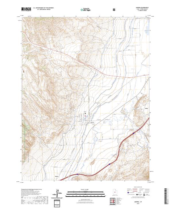 2023 Aurora2023 Print · USGSThe Sevier River valley comes into focus during this recent era of Utah settlement and agriculture. Genealogists and historians can trace the irrigation network of the Vermillion Canal and Piute Canal or locate family sites near the Aurora Cem and Redmond Lake.
End of results
Showing maps 1-20 of 20
Top cities near Sigurd
- Richfield historical maps
- Salina historical maps
- Monroe historical maps
- Aurora historical maps
- Redmond historical maps
- Elsinore historical maps
See more
Top neighborhoods of Sigurd
Frequently asked questions
- What are the different types of historical maps available for Sigurd?
- What is the oldest map of Sigurd?
- Where can I purchase historical maps of Sigurd for my home or office?
- Where can I download high-res historical maps of Sigurd?
- Are there historical topographic maps available for Sigurd?
- Is there historical aerial imagery available for Sigurd?
- Where are historical maps of Sigurd sourced from?