Old Maps of Christmas Meadow Summer Homes, Utah
Explore 14 old maps of Christmas Meadow Summer Homes, spanning from 1885 to today. These high-resolution historic maps reveal how streets, neighborhoods, landmarks, and natural features evolved over time — perfect for genealogy, metal detecting, research, and local history exploration.
What you can do with these maps:
- See how Christmas Meadow Summer Homes changed over time: Compare historical maps to modern-day views to trace roads, homesites, rail lines & more.
- View detailed metadata: Each map includes creators, publishers, year, scale, and archive source.
- Overlay maps with satellite & LiDAR: Visualize the past alongside modern tools to explore terrain & human change.
- Trusted historical sources: Maps sourced from the USGS, Library of Congress, and other archives.
- Access maps your way: View online, download high-res files, or order prints for personal or research use.
Start exploring old maps of Christmas Meadow Summer Homes to uncover forgotten places, hidden landmarks, and the deep history beneath your feet.
Christmas Meadow Summer Homes, UT maps
(14)- 1885 Map of Uinta
 1885 Uinta1885 Print · USGSThe high wilderness of northern Utah is documented during the early surveying era of the 1880s. Geologists and historians can trace the headwaters of the Duchesne River and locate landmarks like Gilbert Peak and Rhodes Plateau.6 unique versions available
 - 1901 Map of Hayden Peak
 1901 Hayden Peak1901 Print · USGSThe high Uintas at the turn of the century appear here as a pristine wilderness of alpine peaks and glacial lakes. Genealogists and researchers can trace the headwaters of the Bear River and Provo River or locate early landmarks like Holiday Park and Grandaddy Lake.2 unique versions available
 - 1903 Map of Hayden Peak
 1903 Hayden Peak1903 Print · USGSThe high Uintas at the beginning of the twentieth century reveal a landscape split between the Uinta Forest Reserve and the Uinta Indian Reservation. Researchers can trace the original Utah-Wyoming Boundary Line and the headwaters of the Bear River and Duchesne River.6 unique versions available
 - 1954 Map of Salt Lake City, 1964 Print
 1954 Salt Lake City1964 Print · USGSThe Wasatch Front and Uinta Mountains are captured here in the mid-fifties, showing the industrial heart of Utah and its high mountain wilderness. Researchers can locate vanished infrastructure and landmarks like the Geneva Steel Plant, Bingham Canyon Mine, and the Utah State Prison.4 unique versions available
 - 1958 Map of Salt Lake City
 1958 Salt Lake City1958 Print · USGSThe Wasatch Front and Uinta Basin are captured during a period of significant post-war growth and industrial development. Researchers can trace the mid-century rail lines of the Bamberger RR and locate sites like the Kiegley Limestone Quarry and Camp Williams Military Reservation.
 - 1960 Map of Salt Lake City
 1960 Salt Lake City1960 Print · USGSThe Wasatch Front and High Uintas are captured mid-century as the Salt Lake Valley underwent significant postwar expansion. Genealogists and historians can trace rail lines like the Union Pacific and locate established landmarks such as Fort Douglas, Camp Williams, and the Bingham Canyon Mine.
 - 1972 Map of Christmas Meadows, 1974 Print
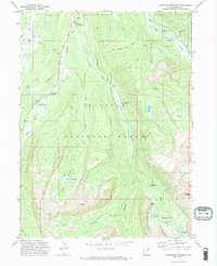 1972 Christmas Meadows1974 Print · USGSThe high Uinta wilderness comes into focus during the early 1970s, showing the primitive road and trail networks of the Wasatch National Forest. You can trace the rugged approaches to Lamotte Peak or locate established recreational sites like Christmas Meadows Campground and Stillwater Campground.2 unique versions available
 - 1982 Map of Kings Peak, 1985 Print
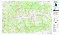 1982 Kings Peak1985 Print · USGSThe high Uinta wilderness is captured in the early eighties, showing the intersection of three national forests at the Wyoming-Utah border. Hikers and historians can trace the high trails near Kings Peak, Moon Lake, and Iron Mine Mountain.2 unique versions available
 - 1998 Map of Christmas Meadows, 2001 Print
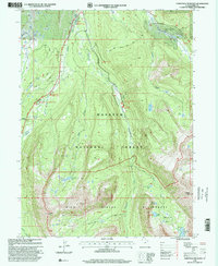 1998 Christmas Meadows2001 Print · USGSThe High Uintas were a hub of late-century recreation and water management as seen in this 1990s survey. Hikers and historians can trace routes near Christmas Meadows or locate high-country features like Amethyst Lake and Windsor Dam.
 - 2011 Map of Christmas Meadows, 2011 Print
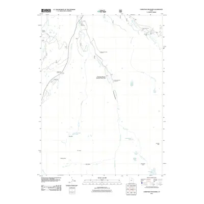 2011 Christmas Meadows2011 Print · USGSUpper Bear River drainage in the early twenty-first century shows a landscape of high-altitude summer homes and wilderness recreation. Trace seasonal settlements at the Christmas Meadow Summer Home Area and find alpine basins like Amethyst Basin and Hell Hole.
 - 2014 Map of Christmas Meadows, 2014 Print
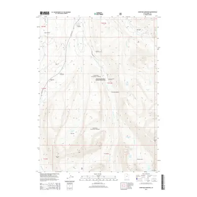 2014 Christmas Meadows2014 Print · USGSThe Wasatch National Forest was a hub for summer recreation and high-altitude hiking during the early 2010s. Modern researchers can trace backcountry trails from the Wolverine Recreation Trailhead to remote landmarks like Kletting Peak and Amethyst Lake.
 - 2017 Map of Christmas Meadows, 2017 Print
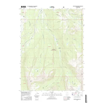 2017 Christmas Meadows2017 Print · USGSHigh in the Uinta Mountains during the twenty-first century, this survey tracks the headwaters and alpine basins of the Wasatch. Researchers can locate remote high-altitude landmarks like Amethyst Lake, the Christmas Meadows settlement area, and the Wolverine ATV trail system.
 - 2020 Map of Christmas Meadows, 2020 Print
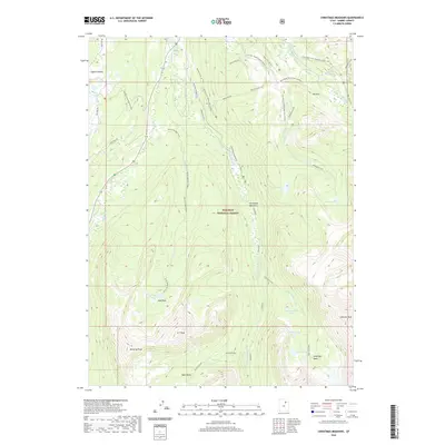 2020 Christmas Meadows2020 Print · USGSThe High Uintas and the Wasatch National Forest are shown here during a period of modern wilderness management. You can trace the alpine basins and peaks like A-1 Peak and Kletting Peak or locate Christmas Meadows.
 - 2023 Map of Christmas Meadows, 2023 Print
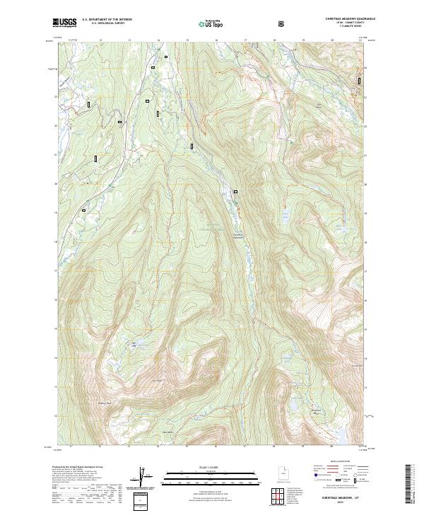 2023 Christmas Meadows2023 Print · USGSSummit County's high-country wilderness is documented here in the 2020s, showing the complex headwaters of the Bear River. Researchers can map out the alpine lake basins and high-altitude trails like the Boundary Creek Trl, Salamander Lake, and Amethyst Basin.
End of results
Showing maps 1-14 of 14
Frequently asked questions
- What are the different types of historical maps available for Christmas Meadow Summer Homes?
- What is the oldest map of Christmas Meadow Summer Homes?
- Where can I purchase historical maps of Christmas Meadow Summer Homes for my home or office?
- Where can I download high-res historical maps of Christmas Meadow Summer Homes?
- Are there historical topographic maps available for Christmas Meadow Summer Homes?
- Is there historical aerial imagery available for Christmas Meadow Summer Homes?
- Where are historical maps of Christmas Meadow Summer Homes sourced from?