Old Maps of Torrey Breaks, Wayne County for Hiking & Exploration
Hike through history with 15 historic maps of Torrey Breaks. Explore old trails, ghost towns, and forgotten backroads — perfect for outdoor adventurers and local explorers.
- Rediscover forgotten places: Map out old mining camps, roads, and footpaths that no longer exist on modern maps.
- Layer with modern tools: Combine with LiDAR or satellite views to plan hikes through historical terrain.
- Made for exploration: Popular among hikers, overlanders, and local history lovers.
Use these maps to find adventure and explore the hidden past of Torrey Breaks.
Torrey Breaks, Wayne County maps
(15)- 1885 Map of Fish Lake
 1885 Fish Lake1885 Print · USGSThe high plateaus and early canyon settlements of central Utah are documented here in the mid-1880s, shortly after the Powell Survey. Genealogists and historians can trace early families in Salina, Antimony, and Cousharem, or locate remote sites like Bean Spring.
 - 1896 Map of Fish Lake, 1899 Print
 1896 Fish Lake1899 Print · USGSSouthern Utah in the late nineteenth century is a land of high plateaus and isolated river settlements. Trace early pioneer outposts like Thurber, Teardale, and Antimony alongside geological marvels such as Fish Lake and the Water Pocket Flexure.4 unique versions available
 - 1952 Map of Notom 2 SW, 1954 Print
 1952 Notom 2 SW1954 Print · USGSSettlements in Wayne County appear during the early fifties as the region balanced cattle ranching with new infrastructure. Genealogists and historians can locate the Teasdale Cem, the Municipal Airport, and the irrigation network of the Fremont River.
 - 1952 Map of Torrey, 1958 Print
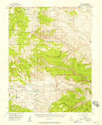 1952 Torrey1958 Print · USGSTorrey and Teasdale sit at the edge of the desert during the early 1950s, a time when the high plateaus and sandstone reefs were still navigated by jeep trails. Researchers can locate the local Cem, the Elkhorn Ranger Sta, and early infrastructure like the Power Plant along the Fremont River.3 unique versions available
 - 1956 Map of Salina
 1956 Salina1956 Print · USGSCentral Utah in the mid-fifties reveals a landscape of high plateaus and desert basins before the modern highway era. Researchers can trace the ranching and mining roots of Hanksville and Loa or locate the Lucky Strike Mine near the San Rafael Swell.5 unique versions available
 - 1960 Map of Salina
 1960 Salina1960 Print · USGSThe high plateaus and canyonlands of south-central Utah appear in the early sixties as a region of remote ranching towns and developing parklands. Researchers can trace historic settlements like Fruita and Loa or locate the uranium mines and the tracks of the Denver and Rio Grande Western RR.2 unique versions available
 - 1962 Map of Salina
 1962 Salina1962 Print · USGSSevier County and the surrounding desert wilderness appear here in the early sixties as a network of isolated river valley towns and high-altitude forests. Researchers can locate remote landmarks like Fruita, trace the Denver & Rio Grande Western RR, and find backcountry sites like the Aquarius Ranger Station.
 - 1980 Map of Loa
 1980 Loa1980 Print · USGSCentral Utah's high plateaus and the Fremont River corridor are captured here during the 1980s, showcasing a landscape of high-elevation reservoirs and remote ranching outposts. Genealogists can trace family names and early settlements from Loa and Teasdale to the orchards of Fruita.2 unique versions available
 - 1985 Map of Torrey
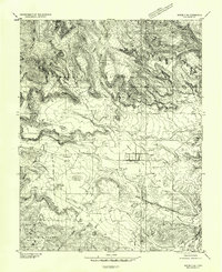
 1985 Torrey1985 Print · USGSTorrey and Teasdale sit at the center of this 1980s survey of the high plateau country in Wayne County. Researchers can trace the path of the Torrey Canal across Poverty Flat and explore landmarks like Chimney Rock Can and the Teasdale Bench.2 unique versions available
 - 2002 Map of Torrey, 2005 Print
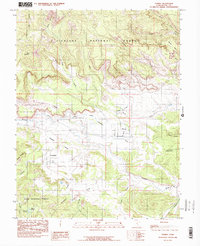
 2002 Torrey2005 Print · USGSTorrey and Teasdale sit at the edge of the canyonlands at the turn of the millennium, where high forest plateaus give way to irrigated ranching valleys. Trace the paths of the Great Western Trail and the lifelines of the Fremont River and Canal.
 - 2011 Map of Torrey, 2011 Print
 2011 Torrey2011 Print · USGSCovers Torrey Breaks, including Torrey, Teasdale, and other nearby areas
 - 2014 Map of Torrey, 2014 Print
 2014 Torrey2014 Print · USGSCovers Torrey Breaks, including Torrey, Teasdale, and other nearby areas
 - 2017 Map of Torrey, 2017 Print
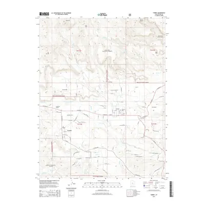
 2017 Torrey2017 Print · USGSCovers Torrey Breaks, including Torrey, Teasdale, and other nearby areas
 - 2020 Map of Torrey, 2020 Print
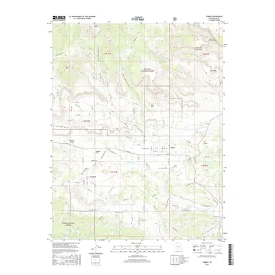
 2020 Torrey2020 Print · USGSCovers Torrey Breaks, including Torrey, Teasdale, and other nearby areas
 - 2023 Map of Torrey, 2023 Print
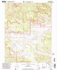
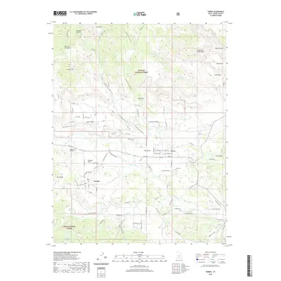
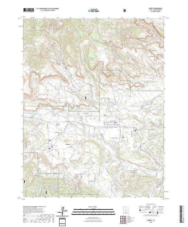 2023 Torrey2023 Print · USGSTorrey and Teasdale sit at the edge of the national forests in this contemporary record of Wayne County's high-plateau ranching and recreation country. Researchers can pinpoint Teasdale Cem, follow the Torrey Canal, and trace the Great Western Trail across the mesas.
End of results
Showing maps 1-15 of 15
Frequently asked questions
- What are the different types of historical maps available for Torrey Breaks?
- What is the oldest map of Torrey Breaks?
- Where can I purchase historical maps of Torrey Breaks for my home or office?
- Where can I download high-res historical maps of Torrey Breaks?
- Are there historical topographic maps available for Torrey Breaks?
- Is there historical aerial imagery available for Torrey Breaks?
- Where are historical maps of Torrey Breaks sourced from?