Old Maps of East Richford, Richford for Genealogy
Trace your family roots with 6 historic maps of East Richford. These high-res maps reveal old neighborhoods, homesites, landmarks, and streets — helping you uncover where your ancestors lived and how the area evolved over time.
- Explore historic neighborhoods: Identify where your relatives may have lived in the 1800s or 1900s.
- Compare maps over time: Trace the changes in streets, buildings, and landmarks for multi-generational research.
- Perfect for genealogy & ancestry research: Used by family historians and researchers to map out lineage and migration.
These maps are an incredible resource for exploring your personal connection to East Richford's past.
East Richford, Richford maps
(6)- 1977 Map of East Richford Station, 1978 Print
 1977 East Richford Station1978 Print · USGSThe Vermont-Quebec borderlands are captured in the late seventies, showing the industrial and regulatory landscape of this international river valley. Researchers can trace the Canadian Pacific line through Stevens Mills or locate the East Richford Station U S Customs.
 - 2012 Map of Jay Peak OE N, 2012 Print
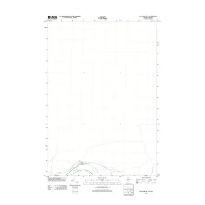 2012 Jay Peak OE N2012 Print · USGSCovers East Richford, including Richford, Jay, and other nearby areas
 - 2015 Map of Jay Peak OE N, 2015 Print
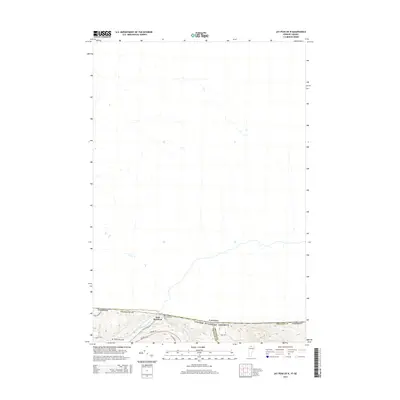 2015 Jay Peak OE N2015 Print · USGSCovers East Richford, including Richford, Jay, and other nearby areas
 - 2018 Map of Jay Peak OE N, 2018 Print
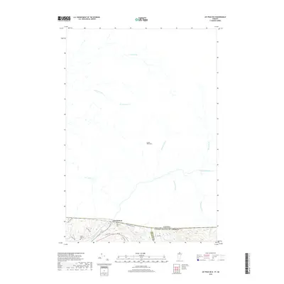 2018 Jay Peak OE N2018 Print · USGSCovers East Richford, including Richford, Jay, and other nearby areas
 - 2021 Map of Jay Peak OE N, 2021 Print
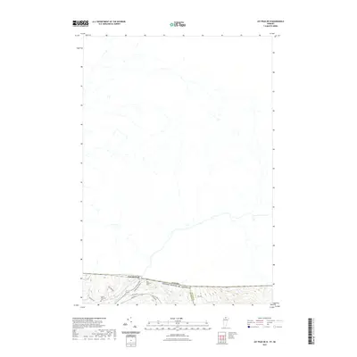 2021 Jay Peak OE N2021 Print · USGSCovers East Richford, including Richford, Jay, and other nearby areas
 - 2024 Map of Jay Peak OE N, 2024 Print
 2024 Jay Peak OE N2024 Print · USGSThe northern borderlands of Vermont and Quebec meet at the settlement of East Richford in this contemporary topographic survey. Researchers can locate family landmarks at the East Richford Cem or trace the winding course of the Missisquoi River through the Green Mountains.
End of results
Showing maps 1-6 of 6
Top cities near East Richford
- Richford historical maps
- Berkshire historical maps
- Enosburg Falls historical maps
- Bakersfield historical maps
- Irasburg historical maps
- Montgomery historical maps
See more
Frequently asked questions
- What are the different types of historical maps available for East Richford?
- What is the oldest map of East Richford?
- Where can I purchase historical maps of East Richford for my home or office?
- Where can I download high-res historical maps of East Richford?
- Are there historical topographic maps available for East Richford?
- Is there historical aerial imagery available for East Richford?
- Where are historical maps of East Richford sourced from?