2000s (21st Century) Maps of Grand Isle County, Vermont
Explore 63 historic maps of Grand Isle County from the 2000s (21st Century). These maps offer a rare glimpse into what life looked like during the 2000s — showing old roads, neighborhoods, homes, and landmarks that have changed or disappeared over time.
Whether you're researching your family's past, planning a metal detecting trip, or studying how Grand Isle County's landscape evolved across the 2000s, these high-resolution maps are a powerful tool for exploring the history of this region.
- Focus on a specific era: All maps on this page are from the 2000s, giving you a focused view of this time period.
- See what’s changed: Compare century-old streets, trails, and buildings to today's modern landscape using overlays and satellite layers.
- Research with precision: Use these maps for genealogy, historical research, land use analysis, or educational projects.
- View, download, or print: Maps are fully viewable online in high resolution, and can be downloaded or printed for your own records.
Start exploring Grand Isle County's history through authentic maps from the 2000s. This is your window into the past.
Grand Isle County, VT maps
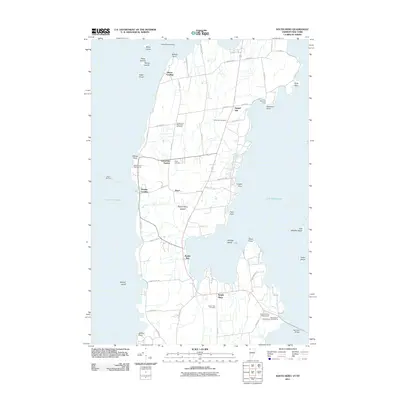
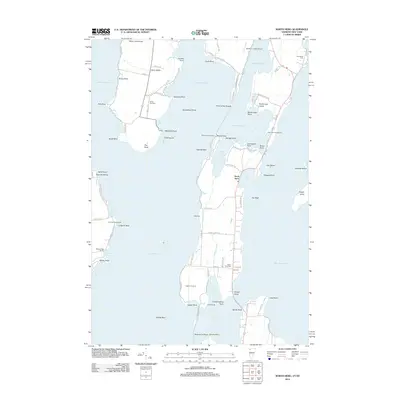
(63)- 2000 Map of Rouses Point
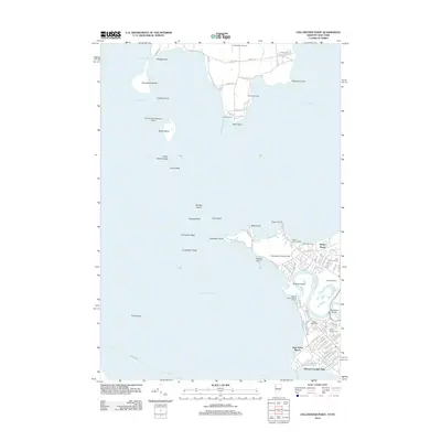
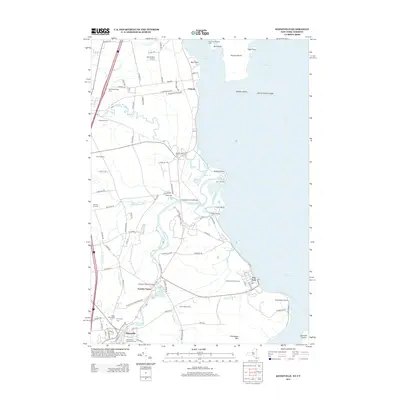
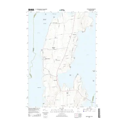
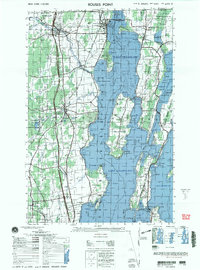 2000 Rouses Point2000 Print · USGSUpper Lake Champlain and the Canadian borderland appear here at the end of the century, showing the intricate shoreline and island communities. Genealogists and local historians can trace family sites at Sacred Heart Cemetery or visit the historic Fort Montgomery (ruins) and St Annes Shrine.
 - 2011 Map of Rouses Point, 2011 Print
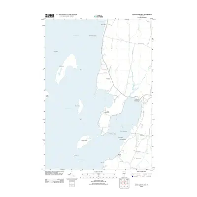
 2011 Rouses Point2011 Print · USGSCovers Grand Isle County, including Champlain, Chazy, and other nearby areas
 - 2011 Map of North Hero, 2011 Print
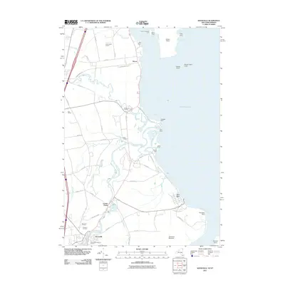
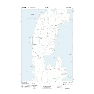
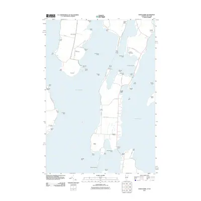 2011 North Hero2011 Print · USGSCovers Grand Isle County, including Plattsburgh, Beekmantown, and other nearby areas
 - 2011 Map of Beekmantown, 2011 Print
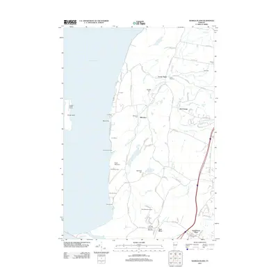
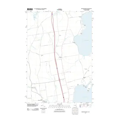 2011 Beekmantown2011 Print · USGSCovers Grand Isle County, including Plattsburgh, Beekmantown, and other nearby areas
 - 2011 Map of South Hero, 2011 Print
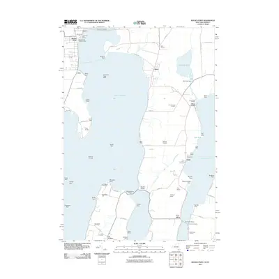
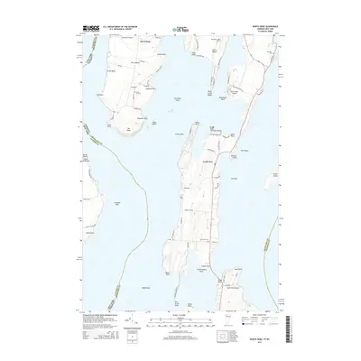
 2011 South Hero2011 Print · USGSCovers Grand Isle County, including Plattsburgh, Milton, and other nearby areas
 - 2011 Map of Keeseville, 2011 Print
 2011 Keeseville2011 Print · USGSCovers Grand Isle County, including Plattsburgh, Peru, and other nearby areas
 - 2012 Map of Plattsburgh, 2012 Print
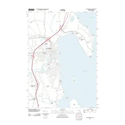 2012 Plattsburgh2012 Print · USGSCovers Grand Isle County, including Plattsburgh, Plattsburgh, and other nearby areas
 - 2012 Map of East Alburg, 2012 Print
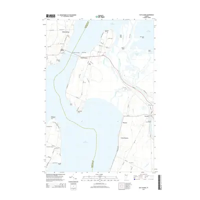
 2012 East Alburg2012 Print · USGSCovers Grand Isle County, including Swanton, Alburgh, and other nearby areas
 - 2012 Map of North Hero, 2012 Print
 2012 North Hero2012 Print · USGSCovers Grand Isle County, including Plattsburgh, Beekmantown, and other nearby areas
 - 2012 Map of Saint Albans Bay, 2012 Print
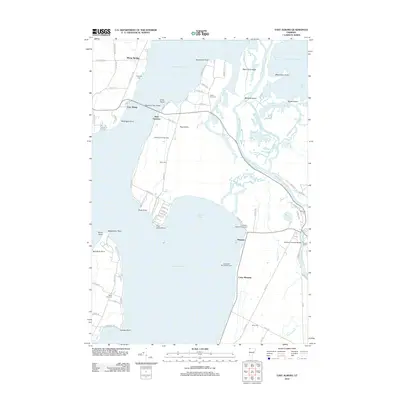
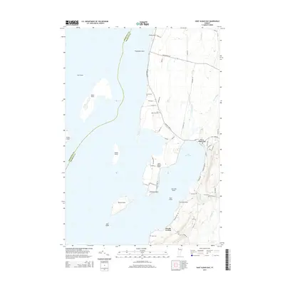
 2012 Saint Albans Bay2012 Print · USGSCovers Grand Isle County, including Swanton, Grand Isle, and other nearby areas
 - 2012 Map of South Hero, 2012 Print
 2012 South Hero2012 Print · USGSCovers Grand Isle County, including Plattsburgh, Milton, and other nearby areas
 - 2012 Map of Georgia Plains, 2012 Print
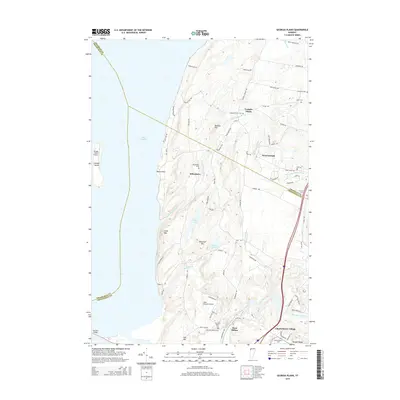
 2012 Georgia Plains2012 Print · USGSCovers Grand Isle County, including Milton, Grand Isle, and other nearby areas
 - 2012 Map of Colchester Point, 2012 Print
 2012 Colchester Point2012 Print · USGSCovers Grand Isle County, including Burlington, South Burlington, and other nearby areas
 - 2012 Map of Rouses Point OE N, 2012 Print
 2012 Rouses Point OE N2012 Print · USGSCovers Grand Isle County, including Champlain, Lacolle, and other nearby areas
 - 2012 Map of East Alburg OE N, 2012 Print
 2012 East Alburg OE N2012 Print · USGSCovers Grand Isle County, including Swanton, Alburgh, and other nearby areas
 - 2013 Map of Rouses Point, 2013 Print
 2013 Rouses Point2013 Print · USGSCovers Grand Isle County, including Champlain, Chazy, and other nearby areas
 - 2013 Map of Keeseville, 2013 Print
 2013 Keeseville2013 Print · USGSCovers Grand Isle County, including Plattsburgh, Peru, and other nearby areas
 - 2013 Map of Beekmantown, 2013 Print
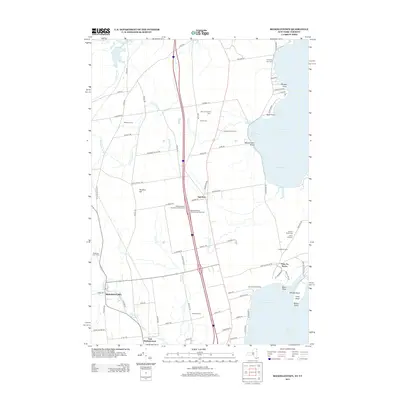 2013 Beekmantown2013 Print · USGSCovers Grand Isle County, including Plattsburgh, Beekmantown, and other nearby areas
 - 2013 Map of Plattsburgh, 2013 Print
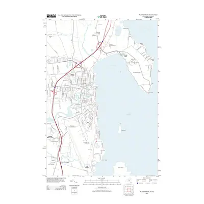 2013 Plattsburgh2013 Print · USGSCovers Grand Isle County, including Plattsburgh, Plattsburgh, and other nearby areas
 - 2015 Map of Colchester Point, 2015 Print
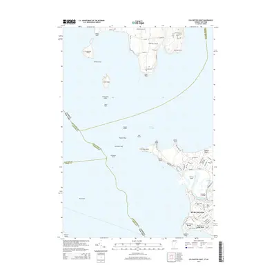 2015 Colchester Point2015 Print · USGSCovers Grand Isle County, including Burlington, South Burlington, and other nearby areas
 - 2015 Map of Saint Albans Bay, 2015 Print
 2015 Saint Albans Bay2015 Print · USGSCovers Grand Isle County, including Swanton, Grand Isle, and other nearby areas
 - 2015 Map of North Hero, 2015 Print
 2015 North Hero2015 Print · USGSCovers Grand Isle County, including Plattsburgh, Beekmantown, and other nearby areas
 - 2015 Map of East Alburg, 2015 Print
 2015 East Alburg2015 Print · USGSCovers Grand Isle County, including Swanton, Alburgh, and other nearby areas
 - 2015 Map of Georgia Plains, 2015 Print
 2015 Georgia Plains2015 Print · USGSCovers Grand Isle County, including Milton, Grand Isle, and other nearby areas
 - 2015 Map of South Hero, 2015 Print
 2015 South Hero2015 Print · USGSCovers Grand Isle County, including Plattsburgh, Milton, and other nearby areas
Showing maps 1-25 of 63
Top cities of Grand Isle County
- Alburgh historical maps
- Grand Isle historical maps
- South Hero historical maps
- North Hero historical maps
- Isle La Motte historical maps
Frequently asked questions
- What are the different types of historical maps available for Grand Isle County?
- What is the oldest map of Grand Isle County?
- Where can I purchase historical maps of Grand Isle County for my home or office?
- Where can I download high-res historical maps of Grand Isle County?
- Are there historical topographic maps available for Grand Isle County?
- Is there historical aerial imagery available for Grand Isle County?
- Where are historical maps of Grand Isle County sourced from?