Old Maps of Cookville, Corinth for Academic Research
Study the evolution of Cookville with 13 high-resolution historic maps. Whether you're teaching, researching, or modeling changes in land use, these maps provide essential visual documentation of urban, environmental, and geographic change.
- Analyze long-term change: Track patterns in development, transportation, and natural features.
- Ideal for environmental or urban studies: Support academic projects with primary historical map data.
- Use in the classroom or lab: Educators and researchers rely on these maps to bring historical context to life.
These maps are a powerful tool for teaching, research, and visualizing how Cookville has changed over the decades.
Cookville, Corinth maps
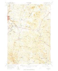
(13)- 1947 Map of Corinth
 1947 Corinth1947 Print · USGSThe granite quarrying region of Vermont is captured here just after the war, showing the industrial density of the hills. Genealogists can trace family roots through numerous local landmarks like Wilson Cem, Miles Sch, and settlements such as Goose Green and Websterville.
 - 1948 Map of East Barre
 1948 East Barre1948 Print · USGSCentral Vermont's quarrying and timber lands are captured here just after the war, showing the industrial centers of the Knox Mountains area. Genealogists can trace family roots through numerous remote burial grounds like Hutchinson Cem and schoolhouses such as Quarry Sch.2 unique versions available
 - 1950 Map of Lake Champlain
 1950 Lake Champlain1950 Print · USGSThe Lake Champlain valley and its surrounding peaks are captured in detail during the late 1940s, showing the vital rail and road connections between New York and Vermont. Researchers can trace the routes of the Central Vermont Railway or locate old industrial centers like Mineville and Witherbee.2 unique versions available
 - 1957 Map of East Barre, 1959 Print
 1957 East Barre1959 Print · USGSThe granite industry and deep woodland of central Vermont are on display in the mid-fifties. Genealogists can trace family lines through Wilson Cem or locate the Quarry Sch near Upper Graniteville.4 unique versions available
 - 1958 Map of Lake Champlain
 1958 Lake Champlain1958 Print · USGSThe Champlain Valley and surrounding high peaks are captured here in the late fifties, showcasing the cross-border region from the Adirondacks to the Green Mountains. Researchers can trace historic rail routes like the Rutland Railway or locate old valley settlements such as Keeseville and Vergennes.2 unique versions available
 - 1962 Map of Lake Champlain, 1975 Print
 1962 Lake Champlain1975 Print · USGSLake Champlain and the high peaks of the Adirondacks and Green Mountains are captured here during the mid-twentieth century. Researchers can trace the industrial legacy of the Lyon Mountain Mine and the rail corridors of the Central Vermont RR and Delaware & Hudson RR.3 unique versions available
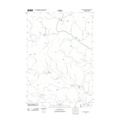
 - 1981 Map of West Topsham
 1981 West Topsham1981 Print · USGSThe hill country of Orange and Topsham in the early 1980s reveals a landscape of isolated valley settlements and high ridges. Genealogists can trace family names at Hutchinson Cem or locate old sites like Union No 36 Sch and the mines on Pike Hill.
 - 1988 Map of Montpelier
 1988 Montpelier1988 Print · USGSThe area surrounding Vermont’s capital city appears here during the early 1940s, showing the vital rail-and-river network. Genealogists can trace family names across a dozen district schools and rural sites like Middlesex Center and the Talc Mine.2 unique versions available
 - 2012 Map of West Topsham, 2012 Print
 2012 West Topsham2012 Print · USGSCovers Cookville, including Orange, Washington, and other nearby areas
 - 2015 Map of West Topsham, 2015 Print
 2015 West Topsham2015 Print · USGSCovers Cookville, including Orange, Washington, and other nearby areas
 - 2018 Map of West Topsham, 2018 Print
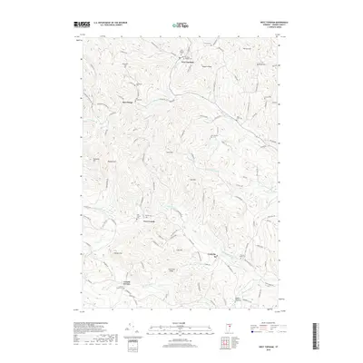 2018 West Topsham2018 Print · USGSCovers Cookville, including Orange, Washington, and other nearby areas
 - 2021 Map of West Topsham, 2021 Print
 2021 West Topsham2021 Print · USGSCovers Cookville, including Orange, Washington, and other nearby areas
 - 2024 Map of West Topsham, 2024 Print
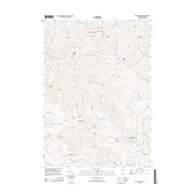
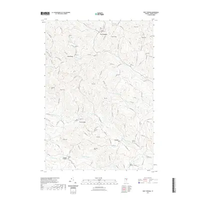
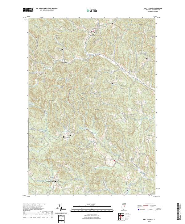 2024 West Topsham2024 Print · USGSOrange County's hill country comes alive in this survey of the Vermont landscape. Genealogists can trace family names through numerous burial sites like West Topsham Cem, Fellows Cem, and West Corinth Cem.
End of results
Showing maps 1-13 of 13
Top cities near Cookville
- Barre historical maps
- Randolph historical maps
- Haverhill historical maps
- Williamstown historical maps
- Norwich historical maps
- Royalton historical maps
See more
Frequently asked questions
- What are the different types of historical maps available for Cookville?
- What is the oldest map of Cookville?
- Where can I purchase historical maps of Cookville for my home or office?
- Where can I download high-res historical maps of Cookville?
- Are there historical topographic maps available for Cookville?
- Is there historical aerial imagery available for Cookville?
- Where are historical maps of Cookville sourced from?