Old Maps of Orange, Vermont for Hiking & Exploration
Hike through history with 31 historic maps of Orange. Explore old trails, ghost towns, and forgotten backroads — perfect for outdoor adventurers and local explorers.
- Rediscover forgotten places: Map out old mining camps, roads, and footpaths that no longer exist on modern maps.
- Layer with modern tools: Combine with LiDAR or satellite views to plan hikes through historical terrain.
- Made for exploration: Popular among hikers, overlanders, and local history lovers.
Use these maps to find adventure and explore the hidden past of Orange.
Orange, VT maps
(31)- 1947 Map of Corinth
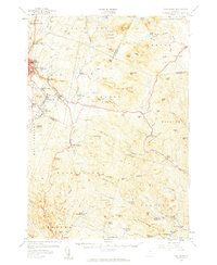
 1947 Corinth1947 Print · USGSThe granite quarrying region of Vermont is captured here just after the war, showing the industrial density of the hills. Genealogists can trace family roots through numerous local landmarks like Wilson Cem, Miles Sch, and settlements such as Goose Green and Websterville.
 - 1948 Map of East Barre
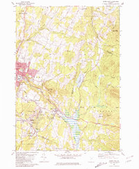
 1948 East Barre1948 Print · USGSCentral Vermont's quarrying and timber lands are captured here just after the war, showing the industrial centers of the Knox Mountains area. Genealogists can trace family roots through numerous remote burial grounds like Hutchinson Cem and schoolhouses such as Quarry Sch.2 unique versions available
 - 1950 Map of Lake Champlain
 1950 Lake Champlain1950 Print · USGSThe Lake Champlain valley and its surrounding peaks are captured in detail during the late 1940s, showing the vital rail and road connections between New York and Vermont. Researchers can trace the routes of the Central Vermont Railway or locate old industrial centers like Mineville and Witherbee.2 unique versions available
 - 1957 Map of East Barre, 1959 Print
 1957 East Barre1959 Print · USGSThe granite industry and deep woodland of central Vermont are on display in the mid-fifties. Genealogists can trace family lines through Wilson Cem or locate the Quarry Sch near Upper Graniteville.4 unique versions available
 - 1958 Map of Lake Champlain
 1958 Lake Champlain1958 Print · USGSThe Champlain Valley and surrounding high peaks are captured here in the late fifties, showcasing the cross-border region from the Adirondacks to the Green Mountains. Researchers can trace historic rail routes like the Rutland Railway or locate old valley settlements such as Keeseville and Vergennes.2 unique versions available
 - 1962 Map of Lake Champlain, 1975 Print
 1962 Lake Champlain1975 Print · USGSLake Champlain and the high peaks of the Adirondacks and Green Mountains are captured here during the mid-twentieth century. Researchers can trace the industrial legacy of the Lyon Mountain Mine and the rail corridors of the Central Vermont RR and Delaware & Hudson RR.3 unique versions available
 - 1981 Map of Barre East
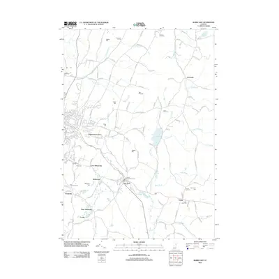
 1981 Barre East1981 Print · USGSThe granite industry of central Vermont is captured here in the early 1980s, centered on the massive extraction sites of Millstone Hill. Researchers can trace the layout of quarrying villages like Websterville and Graniteville or locate family sites near Hope Cem and Wilson Cem.2 unique versions available
 - 1981 Map of Knox Mountain
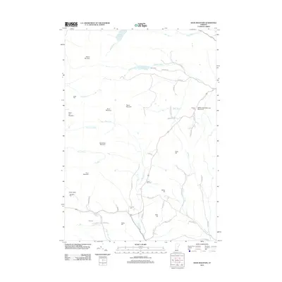
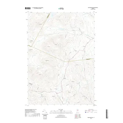
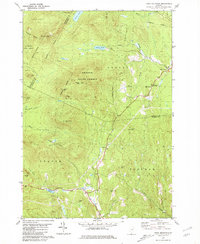 1981 Knox Mountain1981 Print · USGSThe Vermont highlands near Orange and Groton are captured in the early 1980s, showing a landscape shaped by state forests and mountain peaks. Genealogists and hikers can locate Westville Cem, the William Scott Mem Mon, and the Lookout Tower atop Spruce Mtn.2 unique versions available
 - 1981 Map of West Topsham
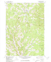
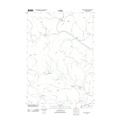
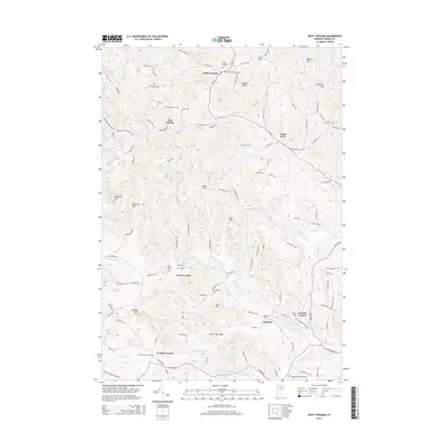
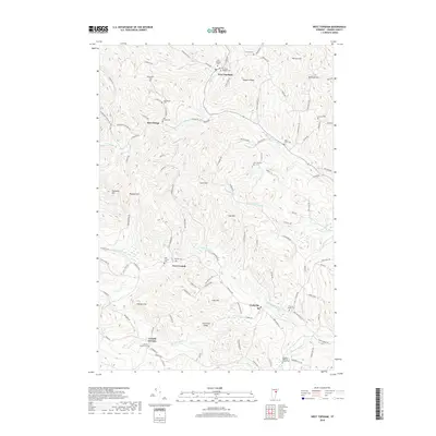
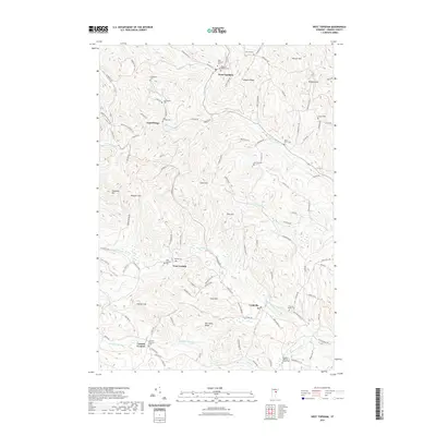
 1981 West Topsham1981 Print · USGSThe hill country of Orange and Topsham in the early 1980s reveals a landscape of isolated valley settlements and high ridges. Genealogists can trace family names at Hutchinson Cem or locate old sites like Union No 36 Sch and the mines on Pike Hill.
 - 1981 Map of Washington
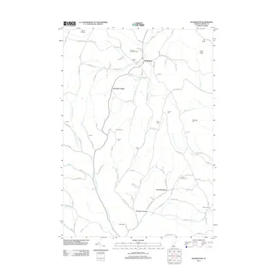
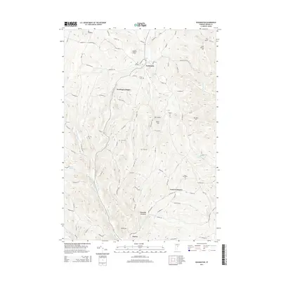
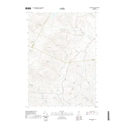
 1981 Washington1981 Print · USGSCentral Vermont's rural landscape is captured here in the early eighties, showcasing the intersection of small upland hamlets and managed timberlands. Genealogists and local historians can locate several family cemeteries such as Fish Cem and Clough Cem, or trace the winding roads connecting Washington to Kennedy Corners.2 unique versions available
 - 1988 Map of Montpelier
 1988 Montpelier1988 Print · USGSThe area surrounding Vermont’s capital city appears here during the early 1940s, showing the vital rail-and-river network. Genealogists can trace family names across a dozen district schools and rural sites like Middlesex Center and the Talc Mine.2 unique versions available
 - 2012 Map of West Topsham, 2012 Print
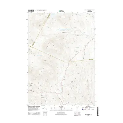
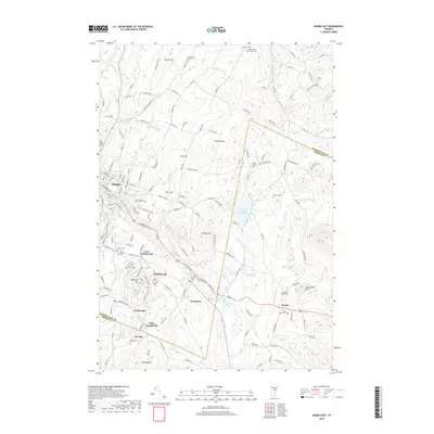
 2012 West Topsham2012 Print · USGSCovers Orange, including Washington, Vershire, and other nearby areas
 - 2012 Map of Washington, 2012 Print
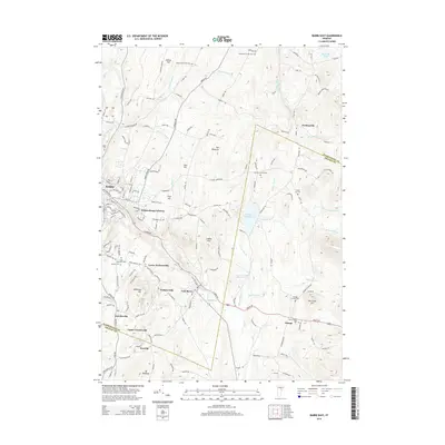
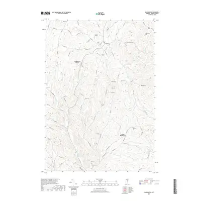
 2012 Washington2012 Print · USGSCovers Orange, including Williamstown, Washington, and other nearby areas
 - 2012 Map of Knox Mountain, 2012 Print
 2012 Knox Mountain2012 Print · USGSCovers Orange, including Marshfield, Plainfield, and other nearby areas
 - 2012 Map of Barre East, 2012 Print
 2012 Barre East2012 Print · USGSCovers Orange, including Barre, Williamstown, and other nearby areas
 - 2015 Map of West Topsham, 2015 Print
 2015 West Topsham2015 Print · USGSCovers Orange, including Washington, Vershire, and other nearby areas
 - 2015 Map of Knox Mountain, 2015 Print
 2015 Knox Mountain2015 Print · USGSCovers Orange, including Marshfield, Plainfield, and other nearby areas
 - 2015 Map of Washington, 2015 Print
 2015 Washington2015 Print · USGSCovers Orange, including Williamstown, Washington, and other nearby areas
 - 2015 Map of Barre East, 2015 Print
 2015 Barre East2015 Print · USGSCovers Orange, including Barre, Williamstown, and other nearby areas
 - 2018 Map of Barre East, 2018 Print
 2018 Barre East2018 Print · USGSCovers Orange, including Barre, Williamstown, and other nearby areas
 - 2018 Map of Washington, 2018 Print
 2018 Washington2018 Print · USGSCovers Orange, including Williamstown, Washington, and other nearby areas
 - 2018 Map of West Topsham, 2018 Print
 2018 West Topsham2018 Print · USGSCovers Orange, including Washington, Vershire, and other nearby areas
 - 2018 Map of Knox Mountain, 2018 Print
 2018 Knox Mountain2018 Print · USGSCovers Orange, including Marshfield, Plainfield, and other nearby areas
 - 2021 Map of West Topsham, 2021 Print
 2021 West Topsham2021 Print · USGSCovers Orange, including Washington, Vershire, and other nearby areas
 - 2021 Map of Knox Mountain, 2021 Print
 2021 Knox Mountain2021 Print · USGSCovers Orange, including Marshfield, Plainfield, and other nearby areas
Showing maps 1-25 of 31
Top cities near Orange
- Barre historical maps
- Montpelier historical maps
- Northfield historical maps
- Randolph historical maps
- Williamstown historical maps
- Berlin Corners historical maps
See more
Top neighborhoods of Orange
Frequently asked questions
- What are the different types of historical maps available for Orange?
- What is the oldest map of Orange?
- Where can I purchase historical maps of Orange for my home or office?
- Where can I download high-res historical maps of Orange?
- Are there historical topographic maps available for Orange?
- Is there historical aerial imagery available for Orange?
- Where are historical maps of Orange sourced from?