2020s Maps of Barton, Vermont
Explore 12 historic maps of Barton from the 2020s. These maps offer a rare glimpse into what life looked like during the 2020s — showing old roads, neighborhoods, homes, and landmarks that have changed or disappeared over time.
Whether you're researching your family's past, planning a metal detecting trip, or studying how Barton's landscape evolved across the 2020s, these high-resolution maps are a powerful tool for exploring the history of this region.
- Focus on a specific era: All maps on this page are from the 2020s, giving you a focused view of this time period.
- See what’s changed: Compare century-old streets, trails, and buildings to today's modern landscape using overlays and satellite layers.
- Research with precision: Use these maps for genealogy, historical research, land use analysis, or educational projects.
- View, download, or print: Maps are fully viewable online in high resolution, and can be downloaded or printed for your own records.
Start exploring Barton's history through authentic maps from the 2020s. This is your window into the past.
Barton, VT maps
(12)- 2021 Map of Craftsbury, 2021 Print
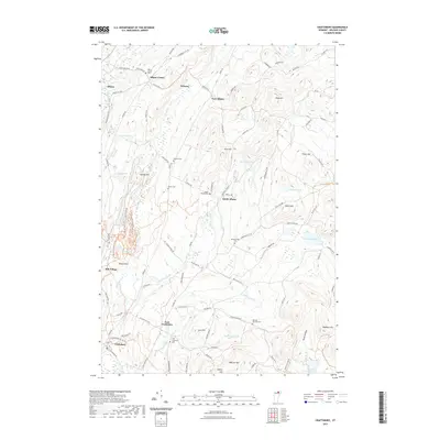 2021 Craftsbury2021 Print · USGSCovers Barton, including Craftsbury, Glover, and other nearby areas
 - 2021 Map of Westmore, 2021 Print
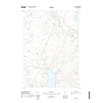 2021 Westmore2021 Print · USGSCovers Barton, including Derby, Westmore, and other nearby areas
 - 2021 Map of Irasburg, 2021 Print
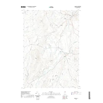 2021 Irasburg2021 Print · USGSCovers Barton, including Irasburg, Coventry, and other nearby areas
 - 2021 Map of Orleans, 2021 Print
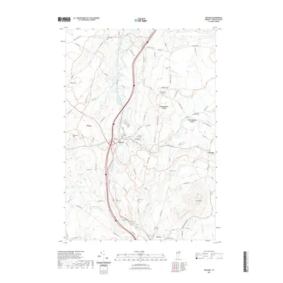 2021 Orleans2021 Print · USGSCovers Barton, including Irasburg, Coventry, and other nearby areas
 - 2021 Map of Crystal Lake, 2021 Print
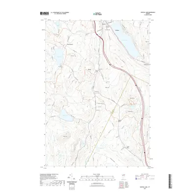 2021 Crystal Lake2021 Print · USGSCovers Barton, including Glover, Greensboro, and other nearby areas
 - 2021 Map of Sutton, 2021 Print
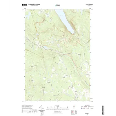 2021 Sutton2021 Print · USGSCovers Barton, including Sutton, Sheffield, and other nearby areas
 - 2024 Map of Westmore, 2024 Print
 2024 Westmore2024 Print · USGSVermont’s Northeast Kingdom appears in contemporary detail, showing the rural landscape around the deep waters of Lake Willoughby. Researchers can locate family landmarks such as Blyhill Cem and East Brownington Cem or follow the route of the Northern Forest Canoe Trl.
 - 2024 Map of Orleans, 2024 Print
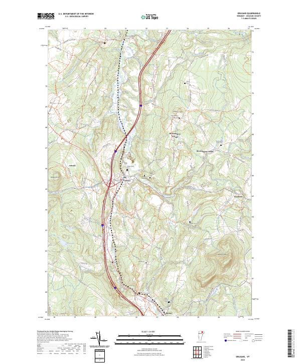 2024 Orleans2024 Print · USGSOrleans County is captured in the modern era, showing the enduring village structures and river valley corridors of Vermont's Northeast Kingdom. Researchers can locate family sites at the Brownington Center Cem and trace the paths of Alder Brook and the Barton River.
 - 2024 Map of Irasburg, 2024 Print
 2024 Irasburg2024 Print · USGSOrleans County, Vermont, maintains its rural character in this contemporary survey of the Black River valley. Researchers can trace family history through several burial sites like Saint John Vianny Cem or explore landmarks in Irasburg and Coventry.
 - 2024 Map of Sutton, 2024 Print
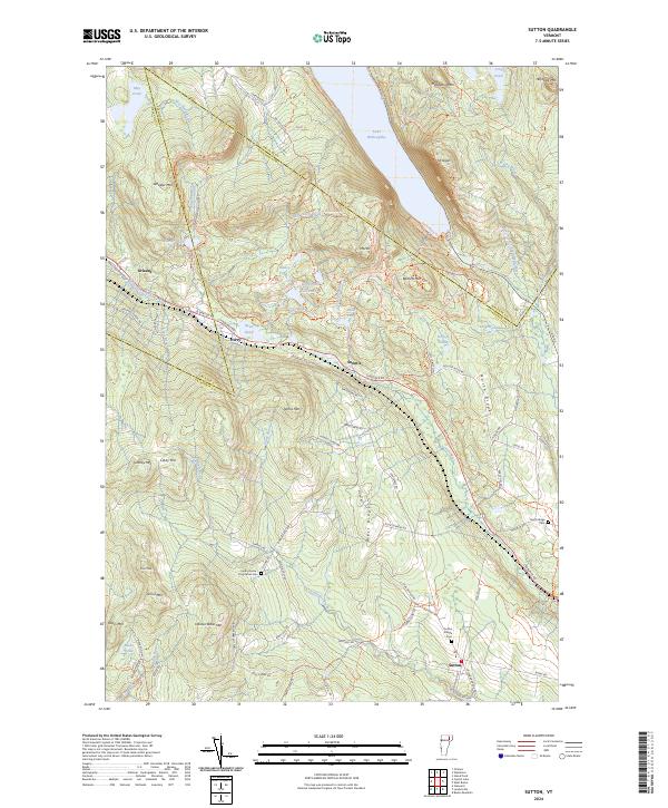 2024 Sutton2024 Print · USGSThe mountain gaps of northern Vermont are captured here in the 2020s, showcasing the high terrain around the village of Sutton. Local historians can trace family burial sites at Sutton Village Cem and North Ridge Cem or explore the steep paths up Mt Pisgah and Mt Hor.
 - 2024 Map of Craftsbury, 2024 Print
 2024 Craftsbury2024 Print · USGSThe rural heart of Orleans County, Vermont, comes into focus in this recent survey of the hill country between the Black River and Big Hosmer Lake. Genealogists and local historians can trace family roots through numerous burial sites like Rowell Cem and the quiet settlements of Mill Village and East Craftsbury.
 - 2024 Map of Crystal Lake, 2024 Print
 2024 Crystal Lake2024 Print · USGSThe Northeast Kingdom hills of Orleans County appear here in a recent survey, showing the enduring village layouts of Barton and Glover. Genealogists can trace family sites at Welcome O Brown Cem and the remote Sheffield Heights - Cass Cem.
End of results
Showing maps 1-12 of 12
Top cities near Barton
- Newport historical maps
- Newport City historical maps
- Hardwick historical maps
- Wolcott historical maps
- Craftsbury historical maps
- Irasburg historical maps
See more
Top neighborhoods of Barton
Frequently asked questions
- What are the different types of historical maps available for Barton?
- What is the oldest map of Barton?
- Where can I purchase historical maps of Barton for my home or office?
- Where can I download high-res historical maps of Barton?
- Are there historical topographic maps available for Barton?
- Is there historical aerial imagery available for Barton?
- Where are historical maps of Barton sourced from?