Old Maps of Onancock, Virginia
Explore 22 old maps of Onancock, spanning from 1931 to today. These high-resolution historic maps reveal how streets, neighborhoods, landmarks, and natural features evolved over time — perfect for genealogy, metal detecting, research, and local history exploration.
What you can do with these maps:
- See how Onancock changed over time: Compare historical maps to modern-day views to trace roads, homesites, rail lines & more.
- View detailed metadata: Each map includes creators, publishers, year, scale, and archive source.
- Overlay maps with satellite & LiDAR: Visualize the past alongside modern tools to explore terrain & human change.
- Trusted historical sources: Maps sourced from the USGS, Library of Congress, and other archives.
- Access maps your way: View online, download high-res files, or order prints for personal or research use.
Start exploring old maps of Onancock to uncover forgotten places, hidden landmarks, and the deep history beneath your feet.
Onancock, VA maps
(22)- 1931 Map of Accomac
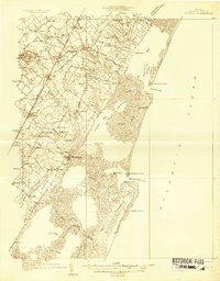 1931 Accomac1931 Print · USGSThe Eastern Shore of Virginia in the early thirties shows a thriving rail corridor and a wild, unbridged Atlantic coast. Genealogists can locate family landmarks like Oak Grove Chapel and Becker Ch or trace the early days of the Keller Fairgrounds.4 unique versions available
 - 1935 Map of Accomac
 1935 Accomac1935 Print · USGSCoastal Virginia in the mid-thirties was a landscape of deep-rooted maritime traditions and railroad commerce. Genealogists and historians can trace old homesteads near Burton Ch, locate the Fairgrounds at Tasley, or study the barrier islands from Metomkin Island down to Parramore Island.2 unique versions available
 - 1943 Map of Pungoteague
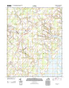
 1943 Pungoteague1943 Print · USGSThe Eastern Shore of Virginia in the 1940s reveals a world of maritime necks and historic creek-side settlements. Genealogists and historians can trace family roots through Wards Church, Dinglers Mill, and wartime additions like Virginia Flight Strip No 1.2 unique versions available
 - 1946 Map of Eastville, 1971 Print
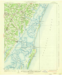
 1946 Eastville1971 Print · USGSCoastal Virginia and the Outer Banks are captured here during a period of expanding naval and aerospace presence. Researchers can trace the path of the Penn Central railroad through Chincoteague and Modest Town, or locate landmarks like the Wright Brothers National Memorial.
 - 1957 Map of Accomac, 1958 Print
 1957 Accomac1958 Print · USGSThe Eastern Shore of Virginia comes alive in the late fifties, centered on the Pennsylvania Railroad and the coastal marshes of the Atlantic. Genealogists can trace family footprints through sites like Edge Hill Cem, Smith Sch, and St Peters Chapel.
 - 1961 Map of Eastville
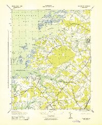
 1961 Eastville1961 Print · USGSThe Eastern Shore and Outer Banks are captured here in the mid-twentieth century, showing a maritime landscape of lighthouses, rail-linked towns, and naval outposts. Researchers can trace the Pennsylvania Railroad through Parksley or locate historical sites like Chincoteague Field Naval Auxiliary Air Station and Tangier Island.
 - 1966 Map of Eastville
 1966 Eastville1966 Print · USGSThe Delmarva Peninsula and Outer Banks appear in the mid-sixties, showing a landscape of maritime trade, military outposts, and fishing villages. Researchers can trace the lines of the Norfolk & Southern through Exmore and Parksley or locate historical sites like Fort John Custis and the Janes Island Lighthouse.
 - 1968 Map of Accomac, 1971 Print
 1968 Accomac1971 Print · USGSThe Virginia Eastern Shore in the late sixties reveals a landscape of tidal marshes and tight-knit railway towns. Genealogists and historians can trace family roots through several landmarks including Edge Hill Cem, St Lukes Ch, and the Penn Central rail corridor.3 unique versions available
 - 1968 Map of Pungoteague, 1972 Print
 1968 Pungoteague1972 Print · USGSVirginia's Eastern Shore shoreline and its peninsula communities are preserved here in the late sixties. Trace family roots and local history through Pungoteague, Savageville, and Hacksneck, or locate old landmarks like St Georges Ch and the South Accomack Sch.3 unique versions available
 - 1978 Map of Accomac, 1983 Print
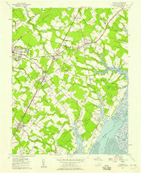
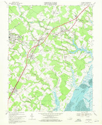
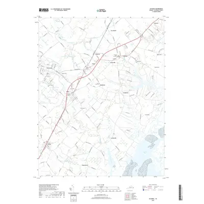
 1978 Accomac1983 Print · USGSThe Eastern Shore comes into sharp focus during the late seventies, showing the transition from inland farms to Atlantic tidal marshes. Researchers can trace the layout of Accomac and Onancock, or locate rural sites near Locustville and Melfa.
 - 1981 Map of Chincoteague, 1982 Print
 1981 Chincoteague1982 Print · USGSThe Delmarva Eastern Shore at the start of the eighties shows a unique blend of traditional coastal life and modern aerospace technology. Researchers can trace the Penn Central rail line through rural towns like Modest Town and Bloxom or explore the marshlands of the Saxis Marsh Waterfowl Management Area and Refuge.
 - 1984 Map of Chincoteague
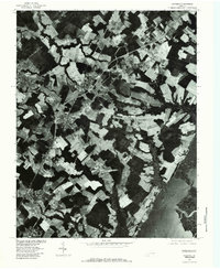
 1984 Chincoteague1984 Print · USGSThe Virginia Eastern Shore and Delmarva Peninsula are captured here in the mid-1980s, showcasing a landscape of barrier islands and tidewater towns. Researchers can trace the Penn Central rail line through Accomac or locate the Wallops Flight Facility (NASA) and Chincoteague Nat Wildlife Refuge.2 unique versions available
 - 2011 Map of Pungoteague, 2011 Print
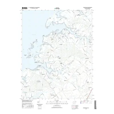
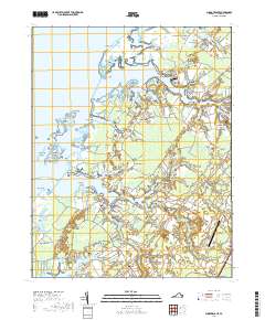
 2011 Pungoteague2011 Print · USGSCovers Onancock, including Pungoteague, Bobtown, and other nearby areas
 - 2011 Map of Accomac, 2011 Print
 2011 Accomac2011 Print · USGSCovers Onancock, including Pastoria, Accomac, and other nearby areas
 - 2013 Map of Pungoteague, 2013 Print
 2013 Pungoteague2013 Print · USGSCovers Onancock, including Pungoteague, Bobtown, and other nearby areas
 - 2013 Map of Accomac, 2013 Print
 2013 Accomac2013 Print · USGSCovers Onancock, including Pastoria, Accomac, and other nearby areas
 - 2016 Map of Accomac, 2016 Print
 2016 Accomac2016 Print · USGSCovers Onancock, including Pastoria, Accomac, and other nearby areas
 - 2016 Map of Pungoteague, 2016 Print
 2016 Pungoteague2016 Print · USGSCovers Onancock, including Pungoteague, Bobtown, and other nearby areas
 - 2019 Map of Accomac, 2019 Print
 2019 Accomac2019 Print · USGSCovers Onancock, including Pastoria, Accomac, and other nearby areas
 - 2019 Map of Pungoteague, 2019 Print
 2019 Pungoteague2019 Print · USGSCovers Onancock, including Pungoteague, Bobtown, and other nearby areas
 - 2022 Map of Pungoteague, 2022 Print
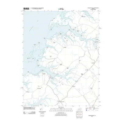
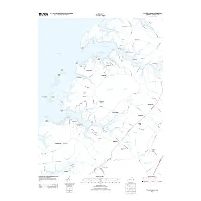
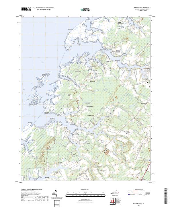 2022 Pungoteague2022 Print · USGSThe Virginia Eastern Shore is captured here in modern detail, showcasing the complex tidal landscape of Accomack County. Researchers can trace family roots at Arlington Cem or explore the historic waterfronts of Harborton and Onancock.
 - 2022 Map of Accomac, 2022 Print
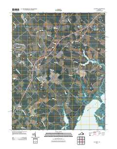
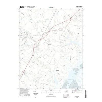
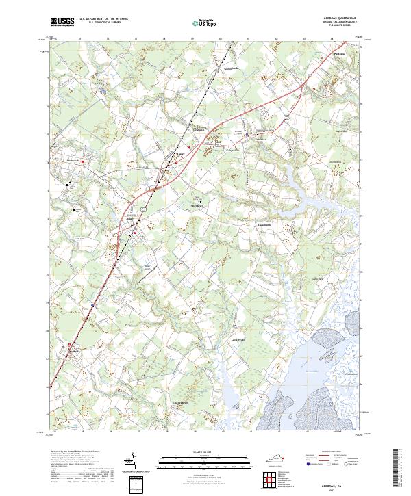 2022 Accomac2022 Print · USGSThe Virginia Eastern Shore is documented here in the early twenty-first century, showing the established communities of Accomac and Onley. Researchers can trace family history through numerous sites including Edge Hill Cem, Joynes Cem, and the Accomack County Courthouse.
End of results
Showing maps 1-22 of 22
Top cities near Onancock
- Exmore historical maps
- Parksley historical maps
- Pastoria historical maps
- Nassawadox historical maps
- Accomac historical maps
- Onley historical maps
See more
Frequently asked questions
- What are the different types of historical maps available for Onancock?
- What is the oldest map of Onancock?
- Where can I purchase historical maps of Onancock for my home or office?
- Where can I download high-res historical maps of Onancock?
- Are there historical topographic maps available for Onancock?
- Is there historical aerial imagery available for Onancock?
- Where are historical maps of Onancock sourced from?